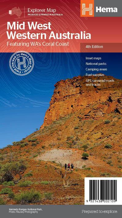
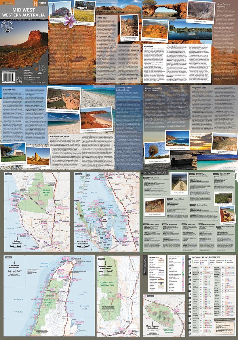
The Mid West Western Australia map indicates camping areas, national parks, gas stations. Are you find - specific tourist information for Wildflower Country, Goldfields, Batavia Coast, Geraldton, Kalbarri, Gascoyne and Outback Coast, Carnarvon and Blowhole Coast and Great Eastern Highway, with detailed maps of the National Park From Cape Range, Kalbarri National Park, François Peron National Park, Kennedy Range National Park and Mont Augustus National Park are also included. There are also the 10 best 4WD tracks, including the Holland track, the Cave Hill circuit, the Jaurdi Station, Mont Elvire, the Mundaring Trail, the Stockyard Gully & Amp National Park Lears, the Peron Peninsula and Kennedy National Park.
Each track has a ranking, map reference, permits and expenses, distances, contact details, points of interest and warnings.
ISBN/EAN : 9321438002109
Publication date: 2014
Scale: 1 / 1,250,000 (1cm = 12.5km)
Printed sides: both sides
Folded dimensions: 25x14cm
Unfolded dimensions: 100x70cm
Language(s): English
Weight:
82 g


