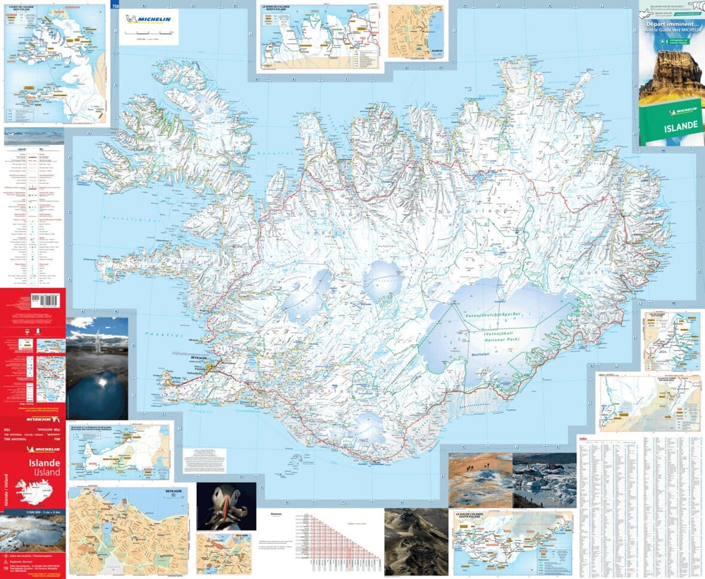
Road atlas - Iceland (large format) | Ferdakort

Price
Regular price $43.00
Regular price Sale price $43.00
Save $-43
/
  • Shipping within 24 working hours from our warehouse in France
  • Delivery costs calculated instantly in the basket
  • Free returns (*)
  • Real-time inventory
  • In stock, ready to ship
  • Backordered, shipping soon
Tax included.

Often purchased together:

Icelans Road atlas (spiral) edited by Ferdakort, which includes many easy - to - use maps, recent information on the road network, thematic maps for accommodation, museums and recreation.

This Road atlas includes a complete index of the cities of Iceland and the road distances. Scale 1/200,000 (1 cm = 2 km).

Our opinion: An excellent atlas, precise and little bulky that is easily picked up in the bottom of a suitcase.


ISBN/EAN : 9789979675075
Publication date: 2021
Pagination: 82 pages
Scale: 1/200,000 (1cm=2km)
Printed sides: front
Folded dimensions: 31 x 16cm
Unfolded dimensions: 63 x 30cm
Language(s): French, English, German, Icelandic
Weight: 474 g

Customer Reviews

Based on 11 reviews
82%
(9)
18%
(2)
0%
(0)
0%
(0)
0%
(0)
G
Gérard D. (Chanonat, FR)
Très bien pour préparer un voyage

Une carte plus grande de la capitale aurait été la bienvenue.

M
MAILLE E. (Bordeaux, FR)
bien

correspond à notre attente

M
Michel D. (Draguignan, FR)
Très bon atlas

Tres bien légendé et précis. Un outil incontournable !

I
Isabelle P. (Hofn, IS)
Très bien

Très utile aussi bien en préparation (en complément d'une carte au 600 000) qu'au cours du voyage. Utilisé sur la route, ses détails, de relief notamment, permet de bien repérer ce qui est autour de nous.

A
ANDRE B. (La Boissiere-des-Landes, FR)
Conforme a notre attente

Un plan de REYKJAVIK serait utile