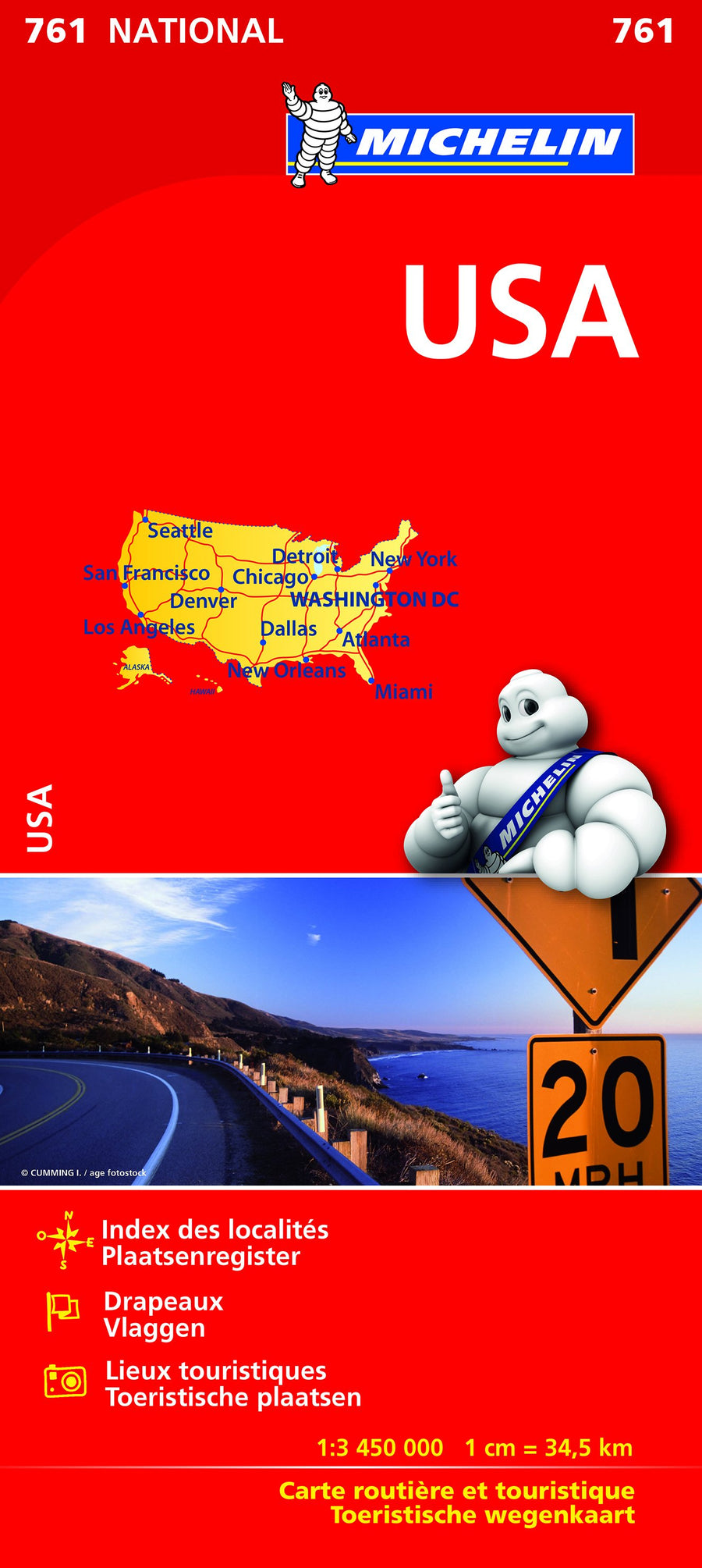
Spiral Road Atlas - USA, Canada, Mexico | Freytag & Berndt

Price
Regular price $36.00
Regular price Sale price $36.00
Save $-36
/
  • Shipping within 24 working hours from our warehouse in France
  • Delivery costs calculated instantly in the basket
  • Free returns (*)
  • Real-time inventory
  • In stock, ready to ship
  • Backordered, shipping soon
Tax included.

Often purchased together:

USA – Canada – Mexico Road Atlas

Scale: 1:400,000 to 1:16,000,000 | 184 pages | Freytag & Berndt

This large road atlas is the ideal companion for anyone traveling by car or camper van across North America . Perfect for planning and navigating on the road , it covers the United States, Canada, and Mexico in a clear and detailed format, with maps at varying scales depending on the region.

✅ Main information:

  • Coverage : United States, Canada, Mexico

  • Scale : 1:400,000 (states and provinces) to 1:16,000,000 (overview)

  • Maps of over 50 North American cities

  • Map of distances and travel times between hundreds of cities

  • Tourist information and national park information

  • Spiral-bound for easy reference: stays open, even in the car

  • Practical format : 20.3 × 27.5 cm

  • 184 pages

🗺️ Bonus:

  • City center maps for good orientation in built-up areas

  • Clear and intuitive presentation, ideal for road trips , whether on major American roads, Canadian panoramas or Mexican routes


    ISBN/EAN : 9783707924435
    Publication date: 2025
    Pagination: 184 pages
    Scale: 1/400,000 (1 cm = 4 km) & 1/16,000,000
    Folded dimensions: 20 x 27cm
    Language(s): German English
    Weight: 379 g

    Customer Reviews

    Be the first to write a review
    0%
    (0)
    0%
    (0)
    0%
    (0)
    0%
    (0)
    0%
    (0)