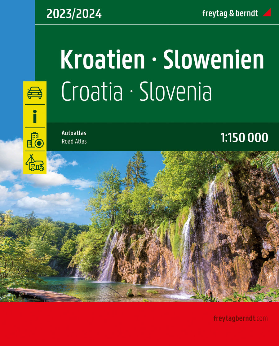
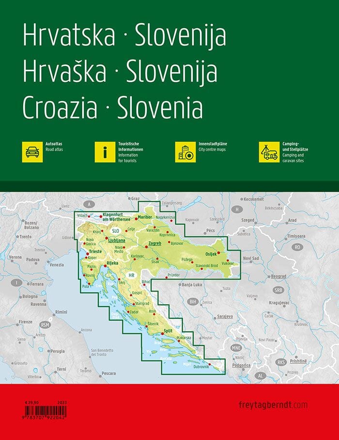
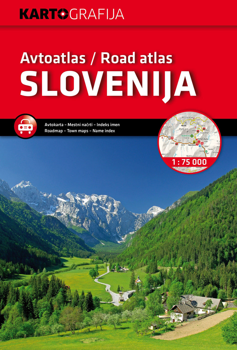
This detailed atlas indicates the picturesque itineraries. Index of cities included. Many symbols provide information on campsites, ferry services and youth hostels.
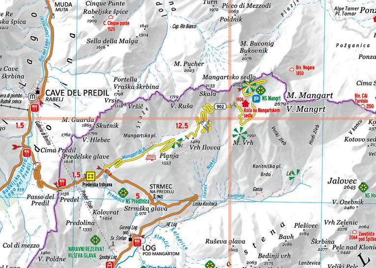
The road network is well represented, both the main roads and the provincial and local roads. Road numbers are also clearly indicated. The distances between the places are marked in kilometers on the map, and the service stations are also marked in important places.
The relief is shown by shadows and sometimes a few points with the actual height. . Provincial borders, national parks and reserves are easy to find. Symbols indicate the location of tourist sites, monuments, places and historically important views. In some locations, there are hotels and campsites, airports, railway links and ports.
ISBN/EAN : 9783707922042
Publication date: 2023
Pagination: 232 pages
Scale: 1/150,000 (1 cm = 1.5 km)
Folded dimensions: 32 x 22cm x 1cm
Language(s): multilingual including French
Weight:
658 g


