Carte routière du Canada Atlantique | Canadian Cartographics Corporation carte pliée Canadian Cartographics Corporation

Atlantic Canada Road map | Canadian Cartographics Corporation

Price
Regular price $9.00
Regular price Sale price $9.00
Save $-9
/
  • Shipping within 48 business hours from our warehouse in the USA. For this product, customs fees may be requested by the carrier upon delivery.
  • Delivery costs calculated instantly in the basket
  • Free returns (*)
  • Real-time inventory
  • In stock, ready to ship
  • Backordered, shipping soon
Tax included.

Often purchased together:

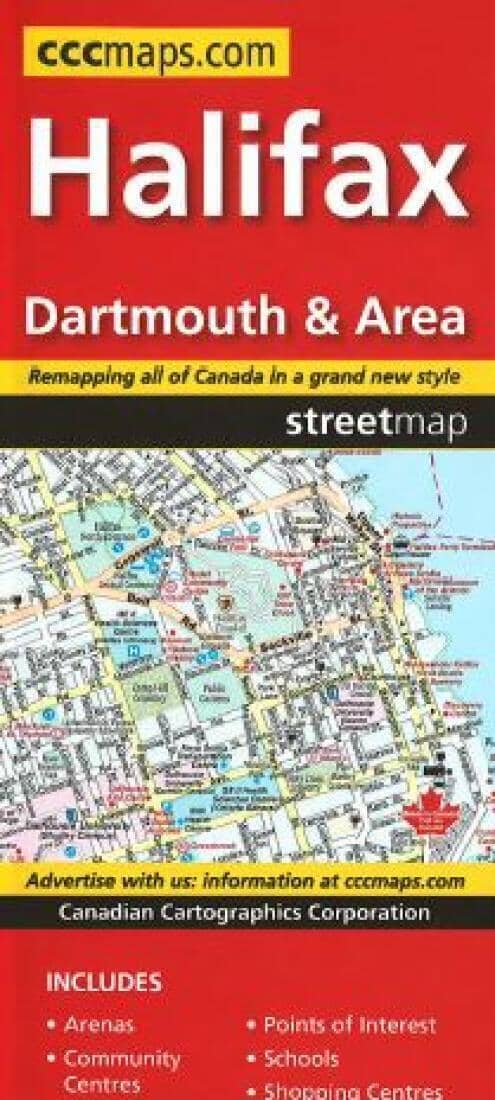
The Atlantic Provinces are New Brunswick, Prince Edward Island, Nova Scotia, Newfoundland and Labrador. The map is two sided with Newfoundland & Labrador on one side the rest of the Province on the other. There are insets of Charlottetown, Fredericton, Halifax, Moncton, Saint John, St. John's and Sydney. A distance chart and ferry information is included for Atlantic Canada.


ISBN/EAN : 9781554862375
Publication date: 2023
Folded dimensions: 9.45 x 3.94 inch / 24 x 10cm
Unfolded dimensions: 39.37 x 27.17 inches / 100 x 69cm
Language(s): English
Weight: 2.0 oz

Customer Reviews

Based on 1 review
100%
(1)
0%
(0)
0%
(0)
0%
(0)
0%
(0)
J
Janet G.
The map is easy to use; symbols, ro...

The map is easy to use; symbols, roads, are very clear. can lay out entire map on a kitchen table, no need to flip front to back while reading.