Hiking map - Assynt XT40 BMM | Harvey Maps - British Mountain

Price
Regular price $30.00
Regular price Sale price $30.00
Save $-30
/
  • Shipping within 24 working hours from our warehouse in France
  • Delivery costs calculated instantly in the basket
  • Free returns (*)
  • Real-time inventory
  • In stock, ready to ship
  • Backordered, shipping soon
Tax included.

Often purchased together:

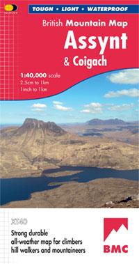
Special Map Hiking in the Great Brittany Mountains published by Harvey Maps.
Original description of the publisher:

Detailed Map for Hillwalkers and Climbers of the spectacular Peaks of Assynt.
Includes Quinag, Sulven, Stac Pollaidh, Ass Mor and Ben More Assynt.
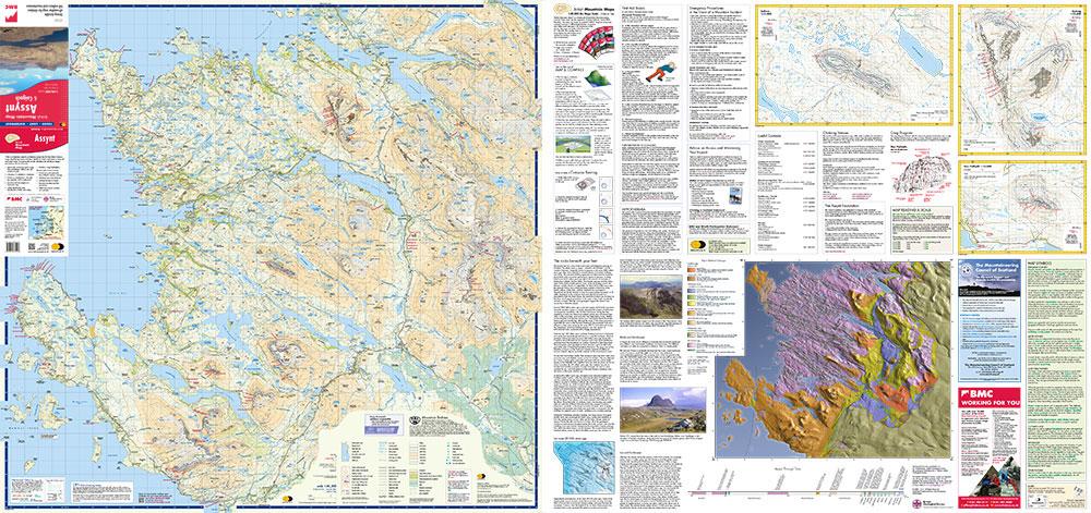
Enlargements of Stac Pollaidh, Silven and Quinag on the Reverse.
Climbing Crags are highlight and a climbing road on stac pollaidh is included.
The Map Area Includes 2 Munros, 9 Corbetts and 6 Grahams.
Tough, Light, Durable and 100% Waterproof
Tried and Tested by the British Mountaineering Council and the Mountaineering Council of Scotland


ISBN/EAN : 9781851376278
Publication date: 2019
Scale: 1/40,000 (1cm=400m)
Printed sides: both sides
Folded dimensions: 12.3 x 23.6cm
Unfolded dimensions: 94.4 x 98.4cm
Language(s): English
Weight: 70 g

Customer Reviews

No reviews yet
0%
(0)
0%
(0)
0%
(0)
0%
(0)
0%
(0)