Autour de l'Annapurna - Carte de trekking complète | Himalayan MapHouse Pvt. Ltd. carte pliée Himalayan MapHouse

Trekking Map - Around Annapurna (NA504) | Himalayan MapHouse

Price
Regular price $24.00
Regular price Sale price $24.00
Save $-24
/
  • Shipping within 48 business hours from our warehouse in the USA. For this product, customs fees may be requested by the carrier upon delivery.
  • Delivery costs calculated instantly in the basket
  • Free returns (*)
  • Real-time inventory
  • In stock, ready to ship
  • Backordered, shipping soon
Tax included.

Often purchased together:

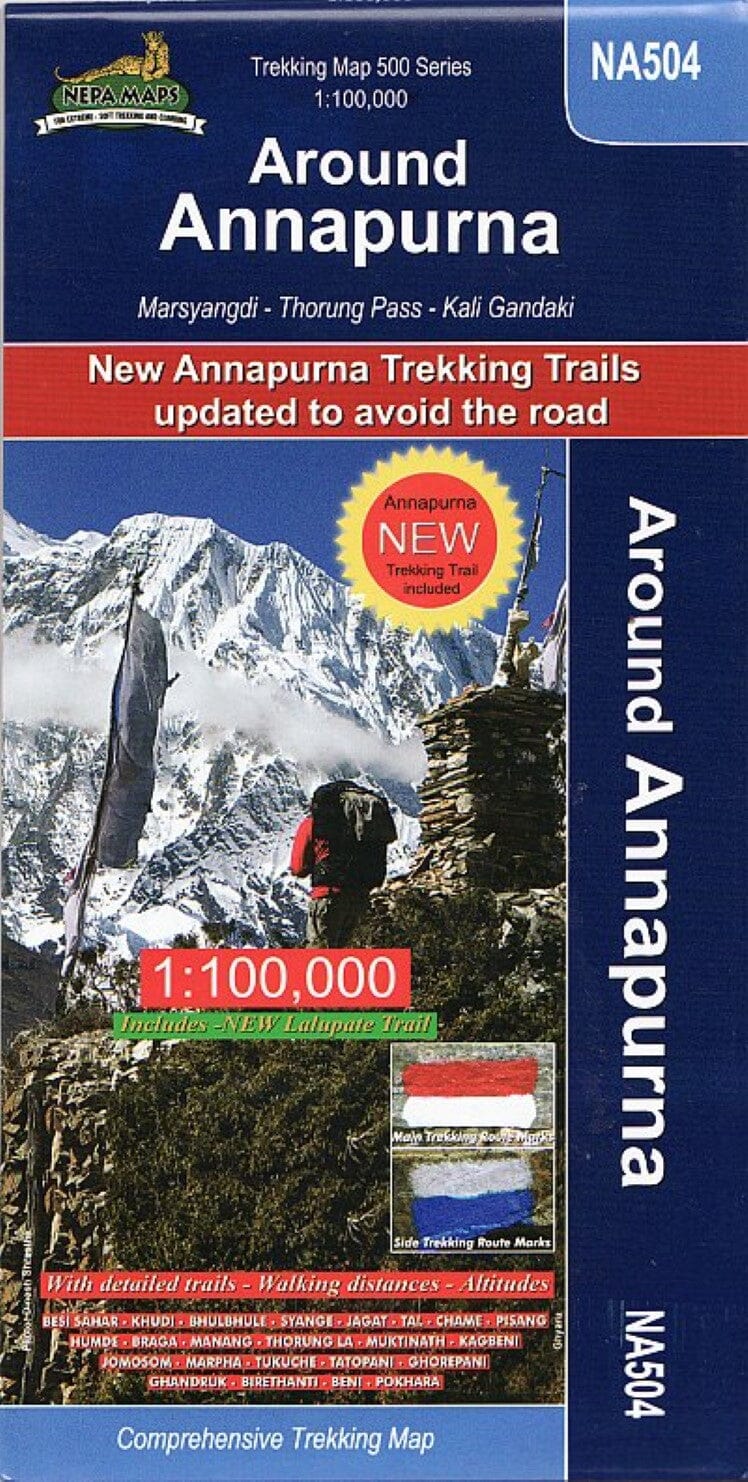
Detailed 1:100,000 scale map of the entire Annapurna Circuit, including information on recently opened routes. Ranging from an altitude of 800m to 5500m, this map covers the route from 9 to 21 days. The route passes through Besi Sahar, Chame, Manang, Ledar, Thorung La, Muktinath, Tatopani, Beni, and Pokhara.


ISBN/EAN : 9789993347217
Publication date: 2019
Scale: 1/100,000 (1cm=1km)
Folded dimensions: 9.45 x 4.72 inch / 24 x 12cm
Unfolded dimensions: 38.58 x 26.77 inches / 98 x 68cm
Language(s): English
Weight: 3.5 oz

Customer Reviews

Be the first to write a review
0%
(0)
0%
(0)
0%
(0)
0%
(0)
0%
(0)