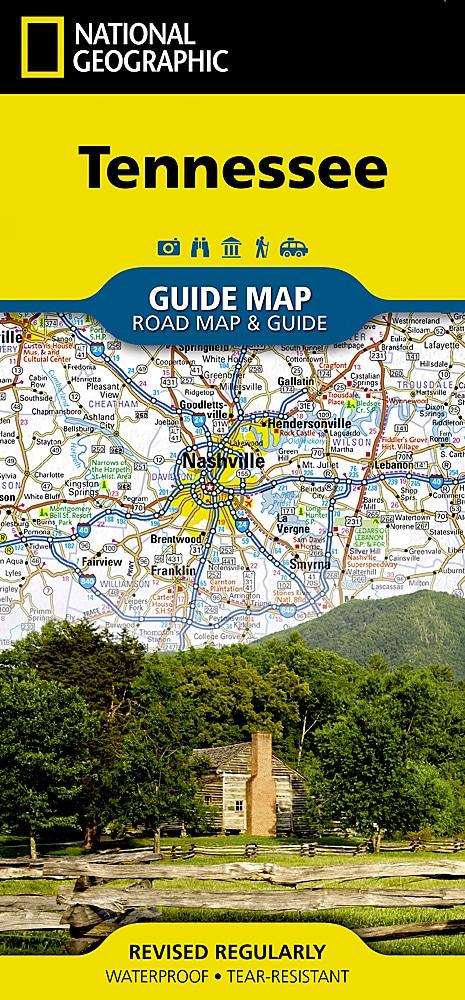
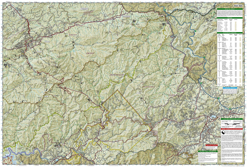
![Appalachian Trail: Georgia, North Carolina, Tennessee [Map Pack Bundle] | National Geographic carte pliée](http://mapscompany.com/cdn/shop/products/cartes-de-randonnee-appalachian-trail-georgia-north-carolina-tennessee-pack-de-cartes-national-geographic-carte-pliee-national-geographic-821320.jpg?v=1694453567&width=1080)
Hiking maps - Appalachian Trail: Georgia, North Carolina, Tennessee (Map Bundle) | National Geographic
Regular price
$29.00
Regular price
Sale price
$29.00
Save $-29
/
- Shipping within 48 business hours from our warehouse in the USA. For this product, customs fees may be requested by the carrier upon delivery.
- Delivery costs calculated instantly in the basket
- Free returns (*)
- Real-time inventory
- In stock, ready to ship
Related geographic locations and collections: Appalachian Trail, Georgia, North Carolina, Tennessee
![Appalachian Trail: Georgia, North Carolina, Tennessee [Map Pack Bundle] | National Geographic carte pliée](http://mapscompany.com/cdn/shop/products/cartes-de-randonnee-appalachian-trail-georgia-north-carolina-tennessee-pack-de-cartes-national-geographic-carte-pliee-national-geographic-821320.jpg?v=1694453567&width=900)