Anne Arundel County, MD, Street Atlas | Kappa Map Group

Anne Arundel County, Md, Street Atlas | Kappa Map Group Atlas

Anne Arundel County, MD, Street Atlas | Kappa Map Group

Regular price $35.00
/
  • Ships within 48 business hours from our US warehouse.
  • Delivery costs calculated instantly in the cart
  • Free returns (*)
  • Real-time inventory
  • In stock, ready to ship
  • Inventory on the way
Tax included.

Often purchased together:

This Anne Arundel County, Maryland atlas is a full-color street atlas, including: Annapolis, Crofton, Curtis Bay, Fort Meade, Glen Burnie, Highland Beach, Linthicum Heights, Odenton, and Severna Park; and features: airports, block numbers, colleges and universities, downtown Annapolis, golf courses, military facilities, parks and rec areas, places of interest, rail commuter systems, regional maps, and schools.


ISBN/EAN : 9780762594733
Publication date: 2021
Unfolded dimensions: 11 inches x 8.5 inches (27 x 21 cm)
Language(s): English
Poids : 7.9 oz

Customer Reviews

Based on 1 review
100%
(1)
0%
(0)
0%
(0)
0%
(0)
0%
(0)
P
Patricia L. (Millersville, US)

I was very happy with the way my order was processed. I received my map very quickly, and I was very happy with the product.

More from Maryland
Sold Out
Delaware and Maryland Highway Map | Kappa Map Group carte pliée
Delaware and Maryland Highway Map | Kappa Map Group
Kappa Map Group
$10.00
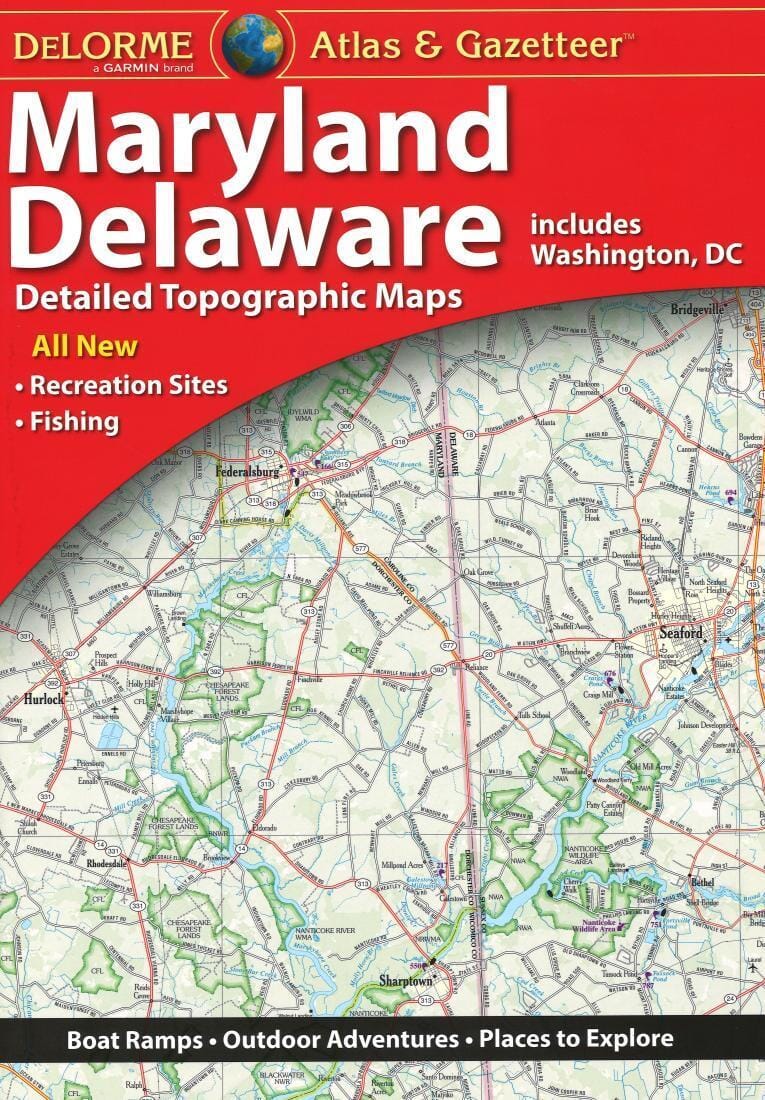
Maryland and Delaware Atlas and Gazetteer | DeLorme Atlas
Maryland and Delaware Atlas and Gazetteer | DeLorme
DeLorme
$34.00
Sold Out
Anne Arundel County, Md, Street Atlas | Kappa Map Group Atlas
Anne Arundel County, MD, Street Atlas | Kappa Map Group
Kappa Map Group
$35.00
Prince Georges County / Washington DC South East, Maryland Street Map | GM Johnson Road Map
Prince Georges County / Washington DC South East, Maryland Street Map | GM Johnson
GM Johnson
$10.00
Recently viewed