Angeles High Country Trails Map | Tom Harrison Maps carte pliée Tom Harrison Maps

Angeles High Country Trails Map | Tom Harrison Maps

Price
Regular price $15.00
Regular price Sale price $15.00
Save $-15
/
  • Shipping within 48 business hours from our warehouse in the USA. For this product, customs fees may be requested by the carrier upon delivery.
  • Delivery costs calculated instantly in the basket
  • Free returns (*)
  • Real-time inventory
  • In stock, ready to ship
  • Backordered, shipping soon
Tax included.

Often purchased together:

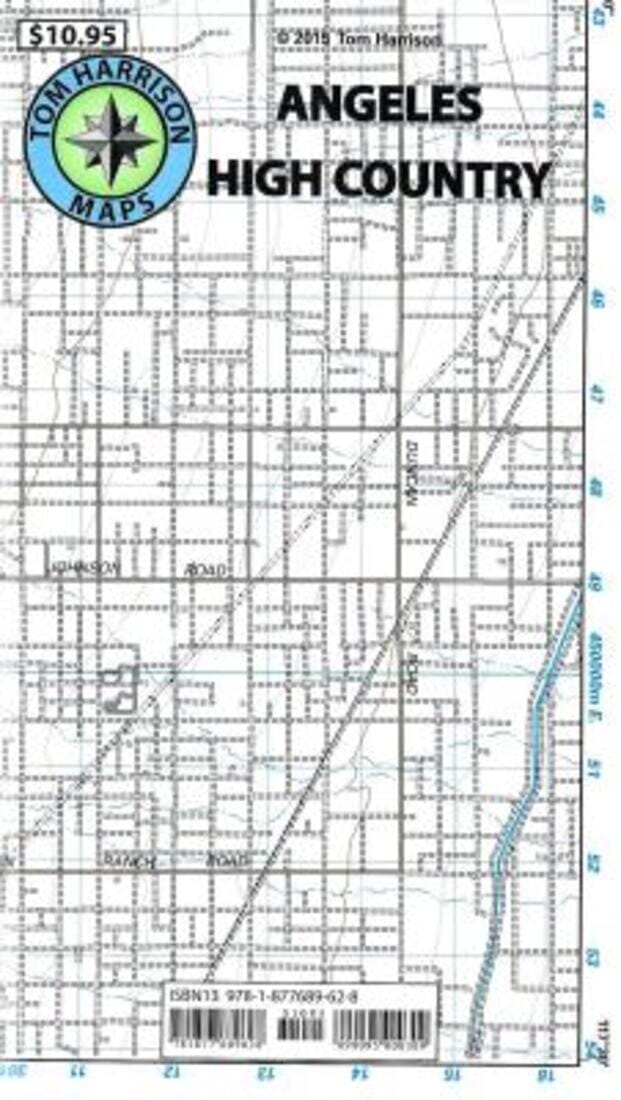
Shaded relief map, folded, printed on waterproof, tear-resistant material. Scale 1:63,360 (1 inch represents 1 mile) and contour interval 80 feet. The area is located high in the Angeles National Forest, north of Monrovia, San Dimas, and east of the San Bernardino National Forest. No. 2021, 80-foot contours, scale 1:63,360


ISBN/EAN : 9780989457989
Publication date: 2021
Folded dimensions: 7.87 inches x 4.33 inches (20 x 11 cm)
Unfolded dimensions: 24.8 inches x 28.74 inches (63 x 73 cm)
Language(s): English
Weight: 50 g

Customer Reviews

Be the first to write a review
0%
(0)
0%
(0)
0%
(0)
0%
(0)
0%
(0)