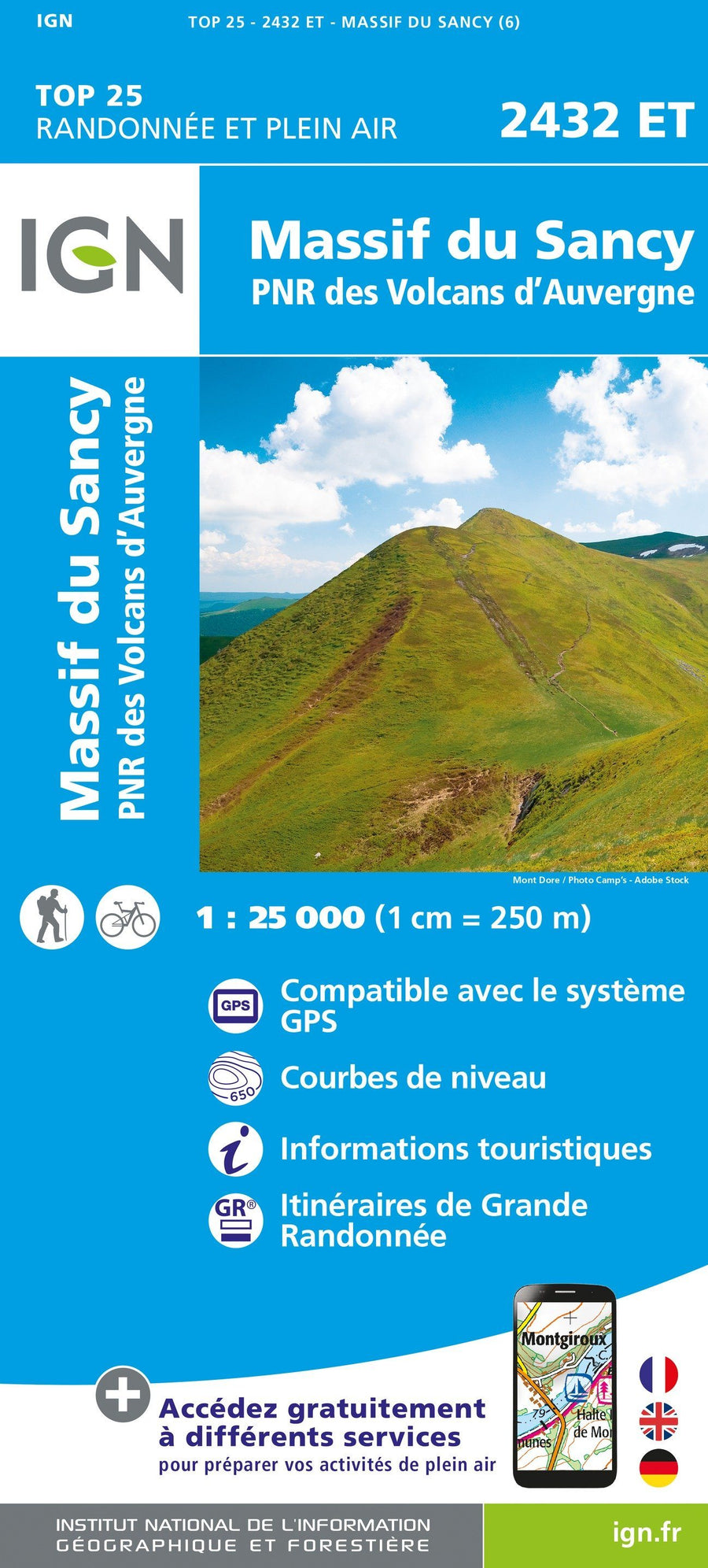
Hiking map No. 2530 - AiguePerse, Châtel - Guyon, Manzat | IGN - Blue Series

Price
Regular price $17.00
Regular price Sale price $17.00
Save $-17
/
  • Shipping within 24 working hours from our warehouse in France
  • Delivery costs calculated instantly in the basket
  • Free returns (*)
  • Real-time inventory
  • Low stock - 2 items left
  • Backordered, shipping soon
Tax included.

Often purchased together:

The essential hiking map! These highly accurate topographic maps contain every detail on the ground: communication routes down to the smallest trail, buildings down to the shed, woods, isolated trees, rivers, springs... Not to mention the representation of the relief by contour lines.

Municipalities covered : Aigueperse, Châtel-Guyon, Manzat, Pessat-Villeneuve, Loubeyrat, Charbonnières-les-Varennes, Clerlande, Blot-l'Église, Lisseuil, Montpensier, Poëzat, Teilhède, Vitrac, Saint-Pardoux, Saint-Quintin-sur-Sioule, Marcillat, Saint-Priest-d'Andelot, Champs, Saint-Genès-du-Retz, Combronde

Places to discover : Auvergne Volcanoes Regional Natural Park, Banks of the Gour de Tazenat, Chazeron Castle, Rocher Castle, St-Louis, Villemont Castle


ISBN/EAN : 9782758556282
Publication date: 2025
Scale: 1/25,000 (1cm=250m)
Folded dimensions: 22 x 11cm
Unfolded dimensions: 96cm x 132cm
Language(s): French, English, German
Weight: 89 g

Customer Reviews

No reviews yet
0%
(0)
0%
(0)
0%
(0)
0%
(0)
0%
(0)