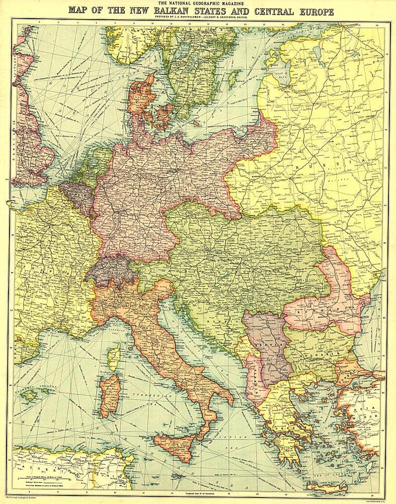
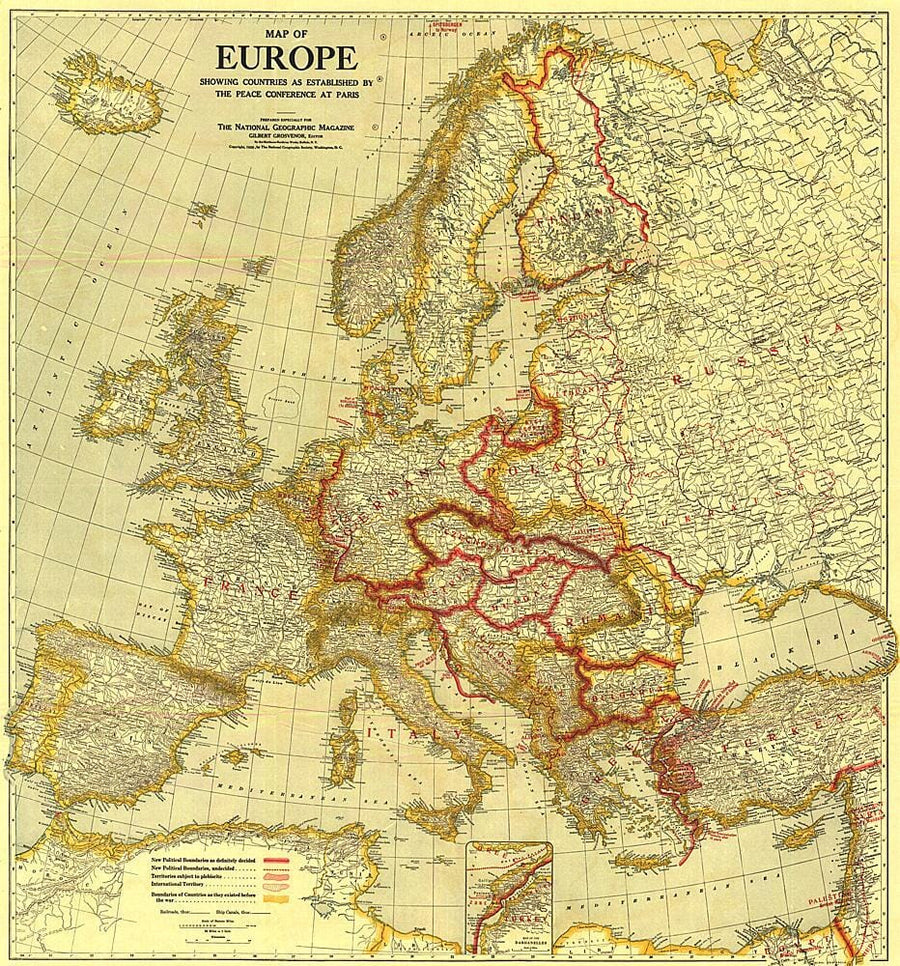
1914 New Balkan States and Central Europe Map

1914 New Balkan States and Central Europe Map Wall Map

1914 New Balkan States and Central Europe Map

Regular price $27.00
/
  • Ships within 48 business hours from our US warehouse.
  • Delivery costs calculated instantly in the cart
  • Free returns (*)
  • Real-time inventory
  • In stock, ready to ship
  • Inventory on the way
Tax included.

Often purchased together:

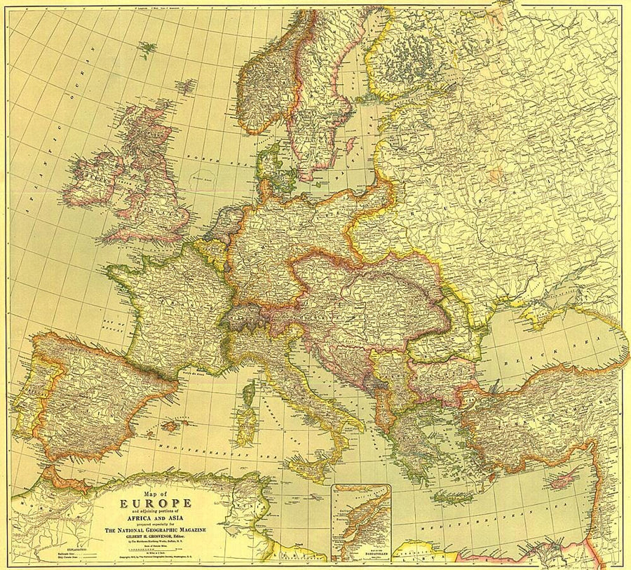
This historic map of the Balkan States and Central Europe features vibrant color and steamship routes. Published in August 1914, it captured Central Europe as it stood at the start of the First World War.


ISBN/EAN : 2321250M
Publication date: 1914
Unfolded dimensions: 18in / 22.75in
Language(s): English
Poids : 200 g

Customer Reviews

Be the first to write a review
0%
(0)
0%
(0)
0%
(0)
0%
(0)
0%
(0)
More from Europe
Atlas routier à spirales - Europe 2024 (multilingue) - format A4 | Michelin atlas Michelin
Atlas routier à spirales - Europe 2023 (multilingue) - format A4 | Michelin atlas Michelin
Spiral Road Atlas - Europe 2022 (Multilingual) - A4 Format | Michelin (French)
Michelin
$25.00
Carte routière plastifiée - Europe | Express Map carte pliée Express Map
List - Europe | Express Map
Express Map
$13.00
Carte de voyage de l'Europe | National Geographic - La Compagnie des Cartes
Travel Map - Europe | National Geographic
National Geographic
$18.00
Carte routière plastifiée - Europe | Borch Map carte pliée Borch Map
List - Europe | Borch Map
Borch Map
$11.00
Nouveauté
CampingCard ACSI - Carte de réductions & Aires camping-cars Europe 2024 guide pratique ACSI
CampingCard ACSI - Carte de réductions & Aires camping-cars Europe 2022 guide pratique ACSI
CampingMap ACSI - Map of Discounts & Aires Campsite Europe 2022 (French)
ACSI
$34.00
Recently viewed