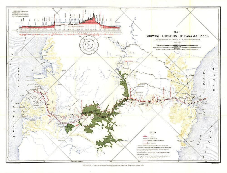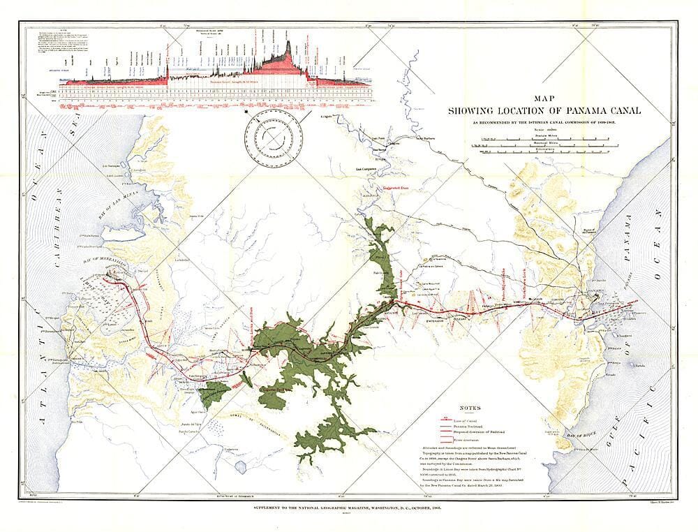
1905 Map Showing Location of Panama Canal 1899-1902

1905 Map Showing Location of Panama Canal 1899-1902 Wall Map

1905 Map Showing Location of Panama Canal 1899-1902

Regular price $40.00
/
  • Ships within 48 business hours from our US warehouse.
  • Delivery costs calculated instantly in the cart
  • Free returns (*)
  • Real-time inventory
  • In stock, ready to ship
  • Inventory on the way
Tax included.

Often purchased together:

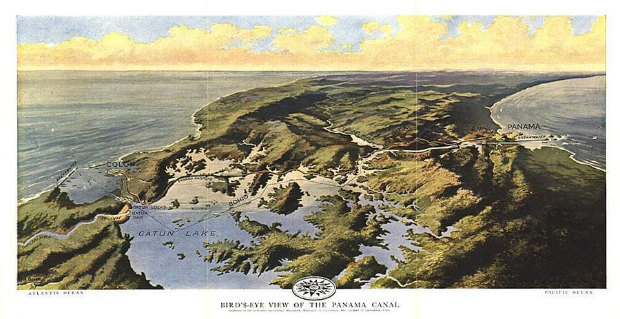
The "Map Showing Location of Panama Canal, as Recommended by the Isthmian Canal Commission of 1899-1902" is a unique historical piece published in October 1905 with three articles on canals. One of the largest engineering projects ever undertaken, the famed canal linking the Atlantic and Pacific oceans was completed in 1914. This map makes a fine companion for the "Birds-eye View of the Panama Canal" map printed in 1912.


ISBN/EAN : 2321530M
Publication date: 1905
Unfolded dimensions: 34.5in / 26.25in
Language(s): English
Poids : 200 g

Customer Reviews

Be the first to write a review
0%
(0)
0%
(0)
0%
(0)
0%
(0)
0%
(0)
2012 Lands of the Bible 1967 Map Wall Map
2012 Lands of the Bible 1967 Map
National Geographic Historic POD
$40.00
2000 A Traveler's Map of Britain and Ireland Wall Map
2000 A Traveler's Map of Britain and Ireland
National Geographic Historic POD
$40.00
1995 Historical Italy Theme Wall Map
1995 Historical Italy Theme
National Geographic Historic POD
$40.00
1996 United States, the Physical Landscape Map Wall Map
1996 United States, the Physical Landscape Map
National Geographic Historic POD
$40.00
1979 The Americas Map Wall Map
1979 The Americas Map
National Geographic Historic POD
$40.00
Recently viewed