Original description of the publisher:
Covers at Large Area Yet Is Handily Compact. Pocket Perfect!
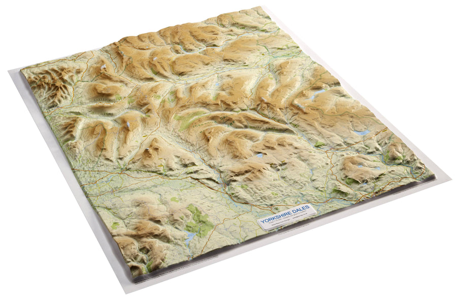
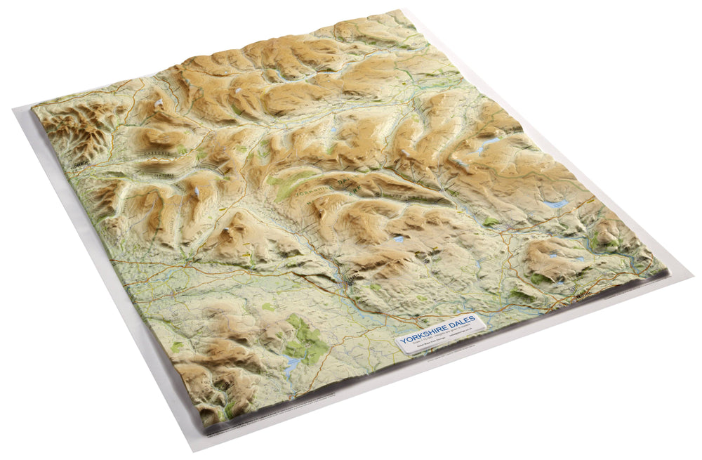
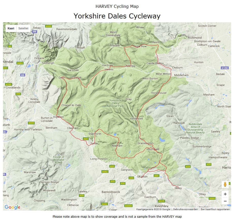
Detailed Map for Runners and Walkers of the South Eastern Part of the Yorkshire Dales National Park.
Includes Pen - Y - Ghent, Malham Cove, Wharfedale and Nidderdale, Settle, Skipton and Grassington.
Has The Advantages of ITS Bigger Brothers:
Includes Rights of Way
USE WITHOUT A MAP CASE: TOUGH AND 100% WATERPROOF
Open Directly to Either Side of the Sheet
ISBN/EAN : 9781851375844
Publication date: 2016
Scale: 1/40,000 (1cm=400m)
Printed sides: both sides
Folded dimensions: 7.3 x 15.2cm
Unfolded dimensions: 30.4 x 87.5cm
Language(s): English
Weight:
70 g


