This is a laminated poster version (printed on both sides) of the Map of Oman and Yemen | ITM.
Please note that this map is laminated on demand, based on the original map, which is folded. The folds remain slightly visible. The map is delivered rolled in a cardboard tube.
An additional manufacturing time is to be expected (approximately one week).
As this product is custom-made at the request of our customers, it cannot be returned.
Map Description:
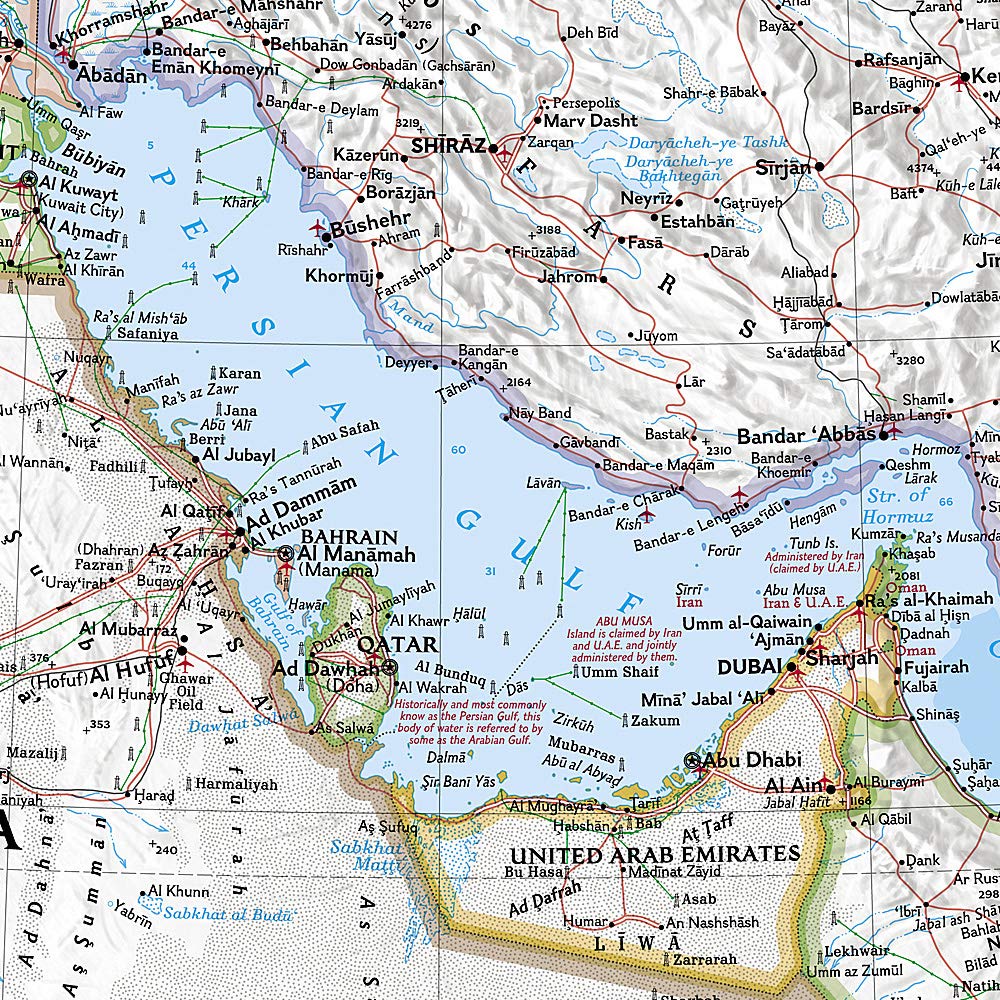
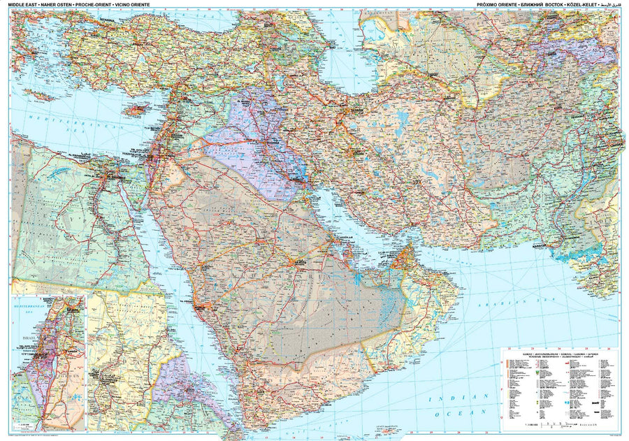
Road map of Yemen and Oman published by ITM.
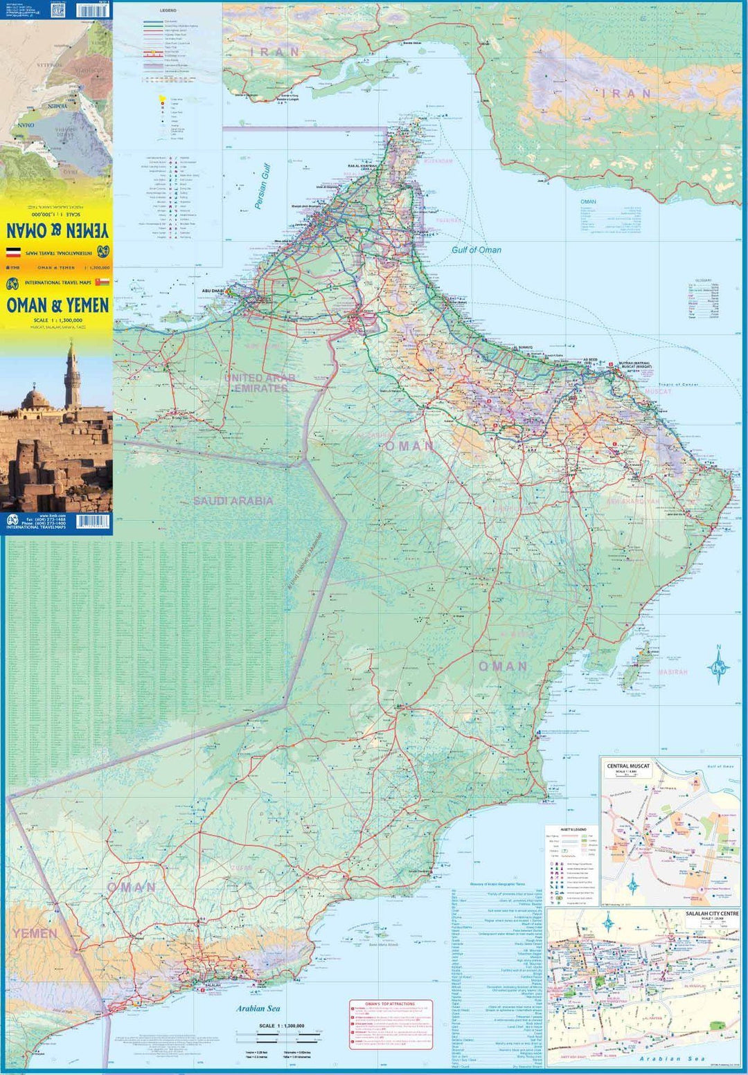
The front covers Oman with an inset of the city of Muscat. The map also includes a map of the city of Salalah, in the far west of the country. The country's road network is well developed, with several crossings to the UAE. Unfortunately, none are available for Saudi Arabia, and passage to Yemen, although open, is not recommended due to ongoing fighting.
Oman also has two enclaves surrounded by the United Arab Emirates; a small one north of Fujairah, and another at the northern tip of the peninsula, separating the Gulf of Oman from the Persian (or Arabian) Gulf.
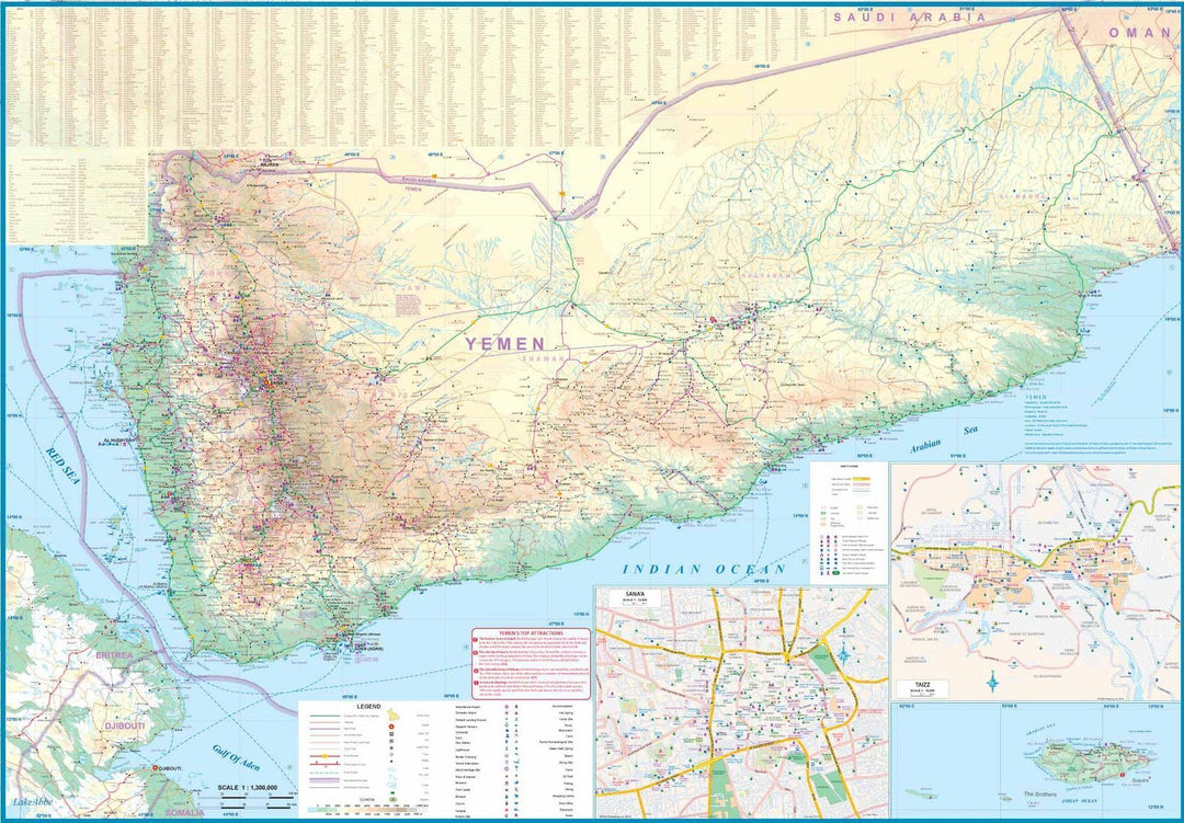
The reverse side consists of a detailed map of Yemen. Inset maps of Sana'a and Taizz are included, as well as the strategically located island of Socotra (Suqutra), guarding the entrance to the Red Sea.
Terrain mapping and city index included. Distances shown on major roads.
The legend includes:
Roads by classification, rivers and lakes, national parks, airports, points of interest, mining, highways, major roads, zoos, fishing, etc.