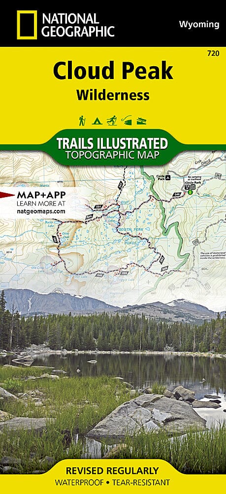
Carte des sentiers de la région sauvage de Cloud Peak (Wyoming), # 720 | National Geographic carte pliée National Geographic

Trails map of Cloud Peak Wilderness (Wyoming), # 720 | National Geographic

Price
Regular price $20.00
Regular price Sale price $20.00
Save $-20
/
  • Shipping within 48 business hours from our warehouse in the USA. For this product, customs fees may be requested by the carrier upon delivery.
  • Delivery costs calculated instantly in the basket
  • Free returns (*)
  • Real-time inventory
  • In stock, ready to ship
  • Backordered, shipping soon
Tax included.

Often purchased together:

Topographic map of Cloud Peak Wilderness (Wyoming) published by National Geographic.
Coverage includes Bighorn National Forest, Highland Park, Meadowlark Lake, Kearny Lake Reservoir, and Coffeen Park. Includes UTM grids for use with your GPS unit.
This topographic map of Cloud Peak Wilderness is waterproof and tear - resistant.
Scale 1/45,000.


ISBN/EAN : 9781566954174
Publication date: 2014
Scale: 1/45,000
Printed sides: both sides
Folded dimensions: 9.45 inches x 4.33 inches (24 x 11 cm)
Unfolded dimensions: 24.8 x 37.01 inches (63 x 94cm)
Language(s): English
Weight: 100 g

Customer Reviews

Based on 2 reviews
100%
(2)
0%
(0)
0%
(0)
0%
(0)
0%
(0)
J
JANET L. (Lincoln, US)
Illustration

The trails are really easy to read and follow on map. Great illustration

C
Charles M.P.
Excellent Trails Illustrated map as...

Excellent Trails Illustrated map as expected.