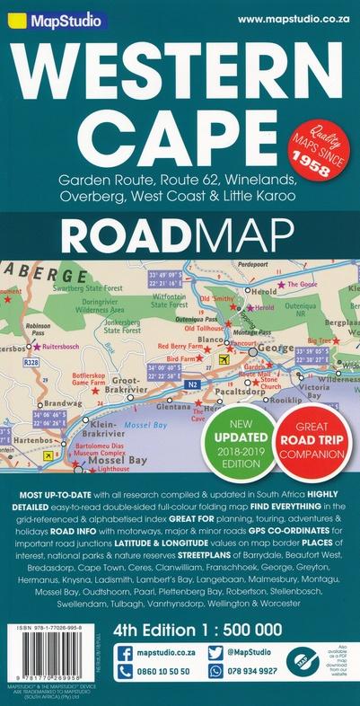
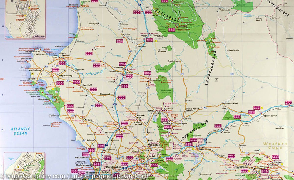
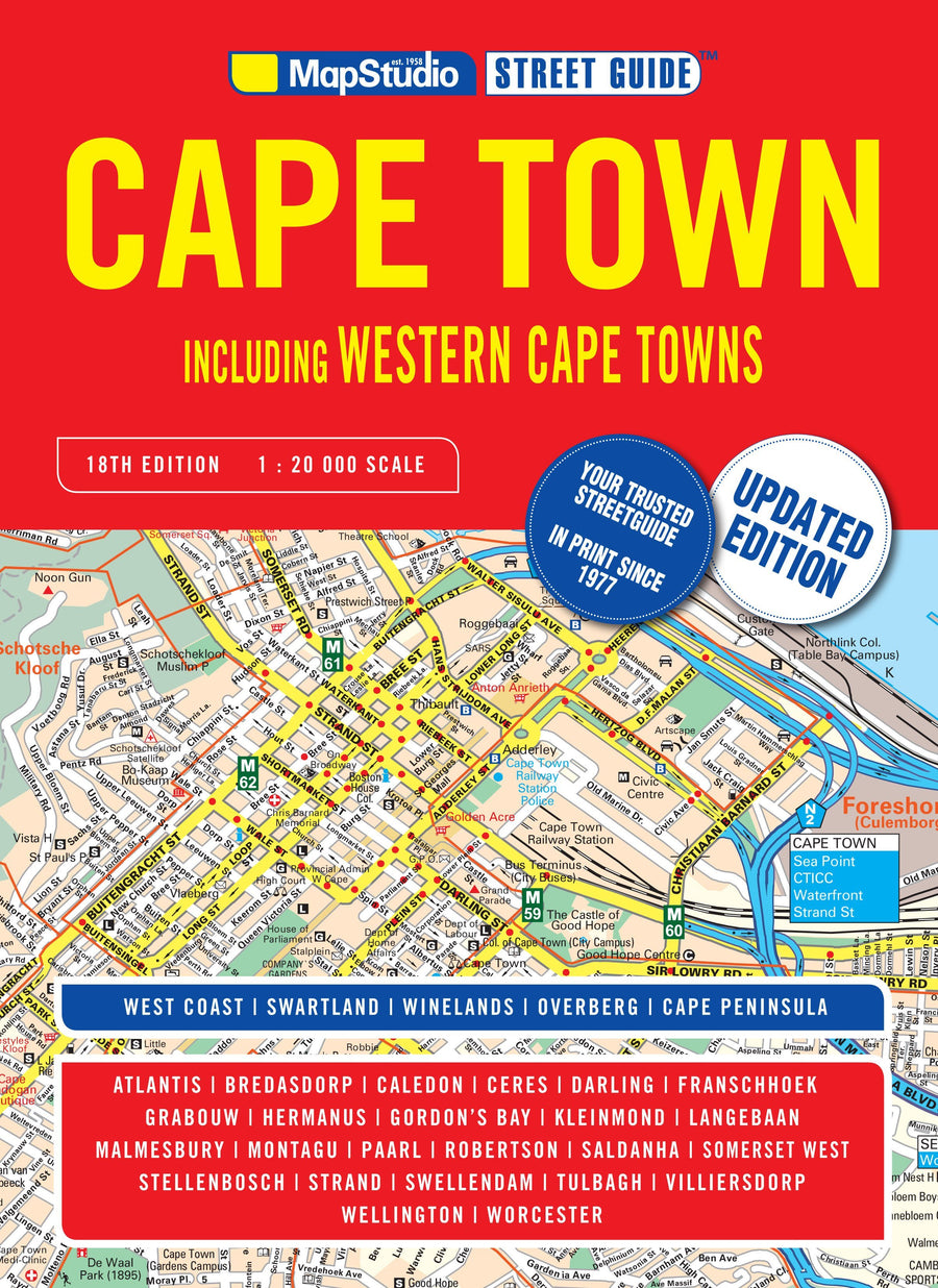
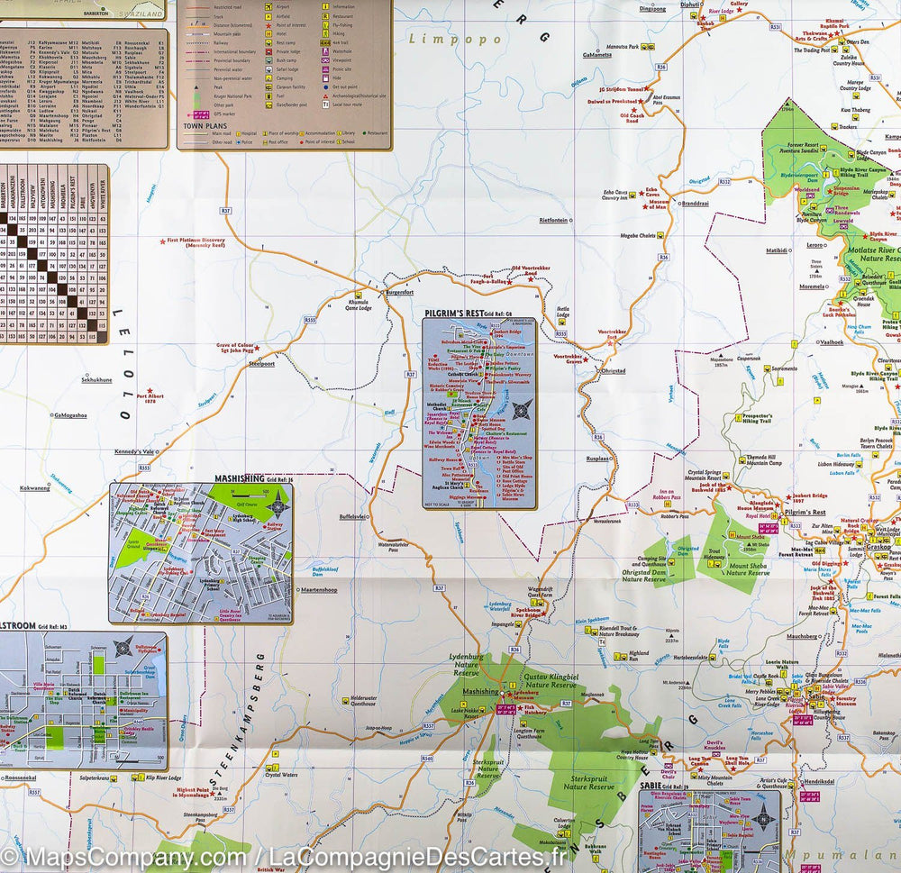
Western Cape Map (South Africa) published by MapStudio. Detailed map including many GPS points, cities insets and kilometers between cities. This map is perfect for panoramic roads and includes information on tourist activities.
The cover includes the Garden Route and Route 62, southern Western Cape, Vineyards and Overberg, West Coast Flower Region and Little Karoo.
The map includes small detailed street shots, Montagu, Barrydale, Ladismith, Oudtshoorn, Mossel Bay, Knysna, Plettenberg Bay, Humansdorp, George, Stellenbosch, Franschhoek, Paarl, Wellington, Hermanus, Swellendam, Robertson, Ceres , Tulbagh, Langebaan and Beaufort West.
Scale 1/500 000 (1 cm = 5 km).
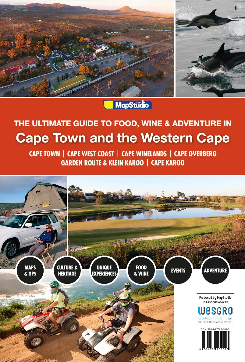
ISBN/EAN : 9781770269958
Publication date: 2018
Scale: 1/500,000 (1cm=5km)
Printed sides: both sides
Folded dimensions: 25.3 x 13 x 0.9cm
Unfolded dimensions: 98cm x 67cm
Language(s): English
Weight:
82 g


