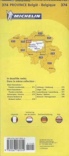
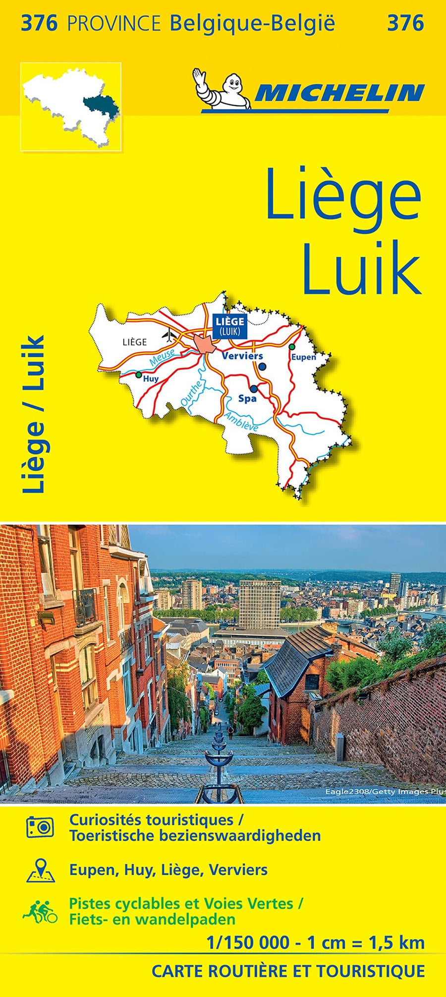
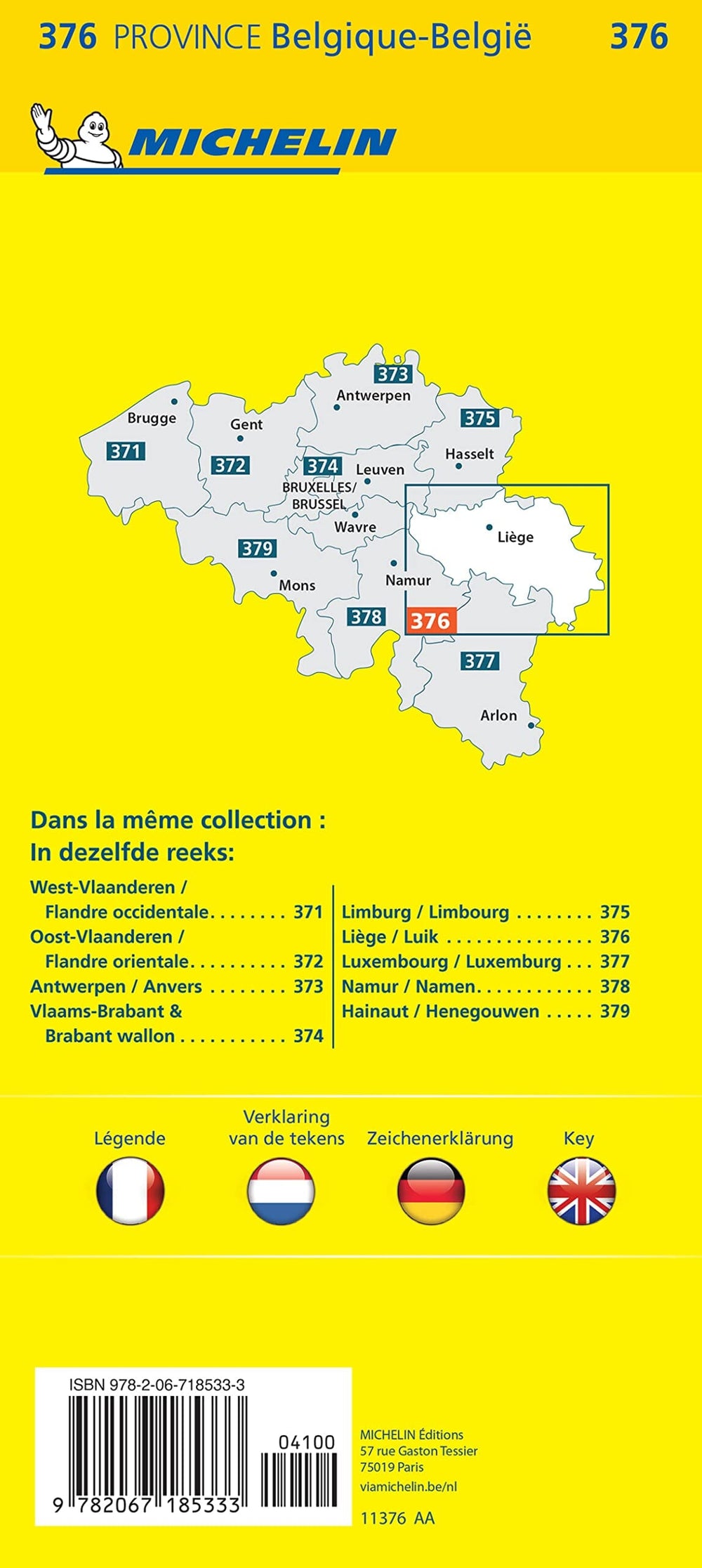
each map covers an area of 160 km². These maps are ideal for teaching and are also highly appreciated by walkers, cyclists, youth movements, etc.
They include a GPS - compatible UTM grid.
ISBN/EAN : 9789462355057
Publication date: 2021
Scale: 1/25,000 (1cm=250m)
Folded dimensions: 13x24cm
Unfolded dimensions: 80x50cm
Language(s): French, Flemish
Weight:
50 g


