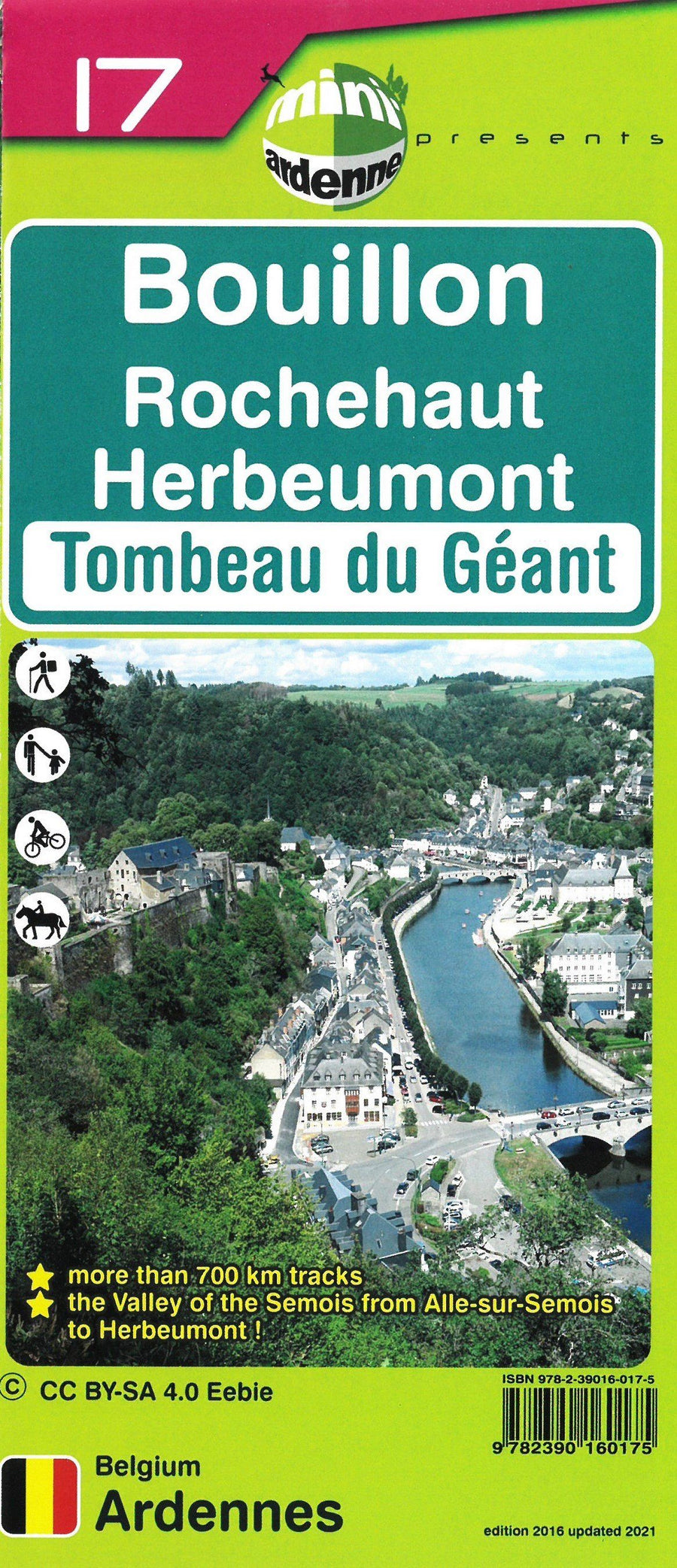
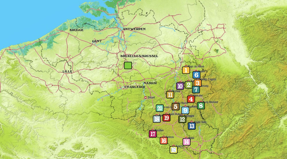
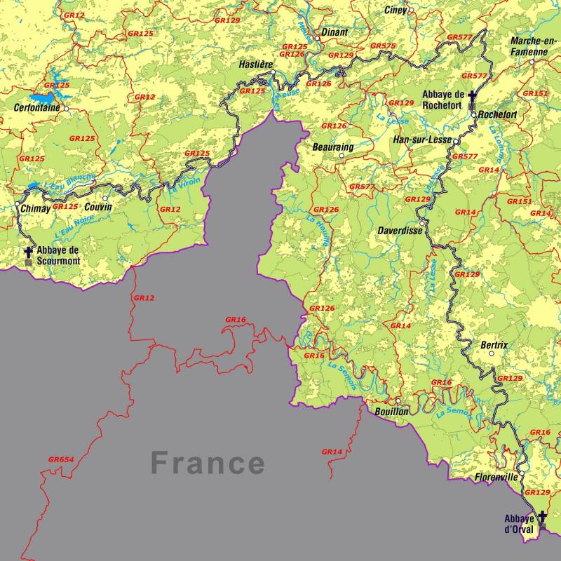
The mini-Ardennes map is a practical and clear topographic map, at a scale of 1:25,000, of part of the Ardennes, i.e. Barrage de la Vierre, Chameleux, Chassepierre, Chiny, Cugnon, Herbeumont, Jamoigne, Muno, Straimont en Suxy.
The indication of the junction points (each associated with a place name) and the walks in small and large loops allow beginners or experienced hikers, as well as cyclists and horse riders to discover the deep Ardennes and the fantastic atmosphere. Also the tourist attractions, campsites and a multitude of points of interest such as bakeries, cafés, playgrounds, ... are included on the map.
- Relief and altimetric curves at an interval of 5 m
- Mileage indicated on each section between two nodes to calculate the total distance of the route
- Captions and texts are in French, Dutch, German and English
- QR codes linked to the website www.mini-ardenne.be, which lists all the points of interest by village
ISBN/EAN : 9782390160168
Publication date: 2023
Scale: 1/25,000 (1cm=250m)
Folded dimensions: 17x10cm
Unfolded dimensions: 100 x 50cm
Language(s): French, English, German, Dutch
Weight:
78 g


