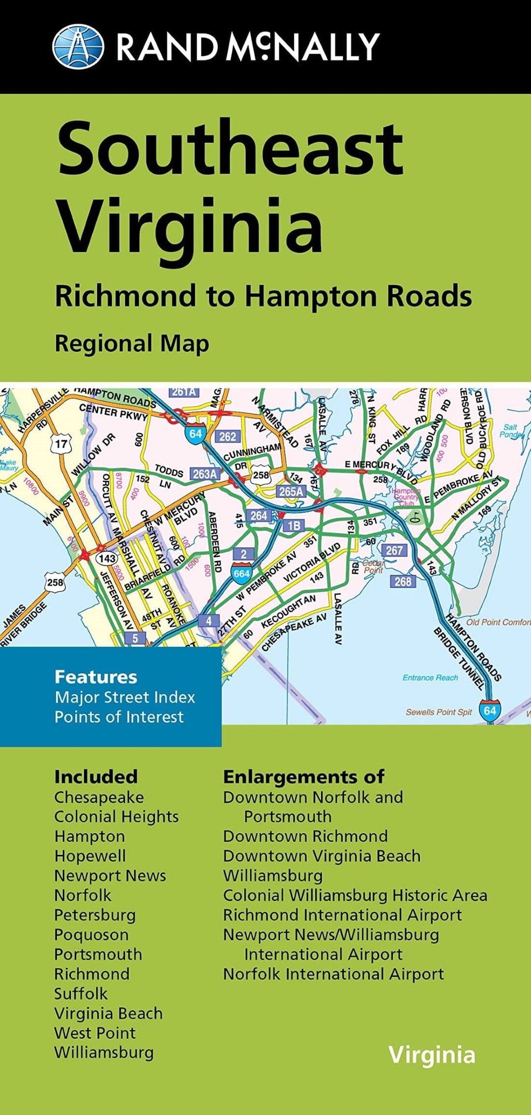
Virginie sud-est : Richmond à Hampton | Rand McNally carte pliée Rand McNally

Southeast Virginia: Richmond to Hampton | Rand McNally

Price
Regular price $11.00
Regular price Sale price $11.00
Save $-11
/
  • Shipping within 48 business hours from our warehouse in the USA. For this product, customs fees may be requested by the carrier upon delivery.
  • Delivery costs calculated instantly in the basket
  • Free returns (*)
  • Real-time inventory
  • In stock, ready to ship
  • Backordered, shipping soon
Tax included.

Often purchased together:

The Rand McNally folded map of southeastern Virginia, from Richmond to Hampton Roads, is a must-have for anyone traveling in and around this part of Virginia, offering unbeatable accuracy and reliability at a great price. Our reliable cartography shows all interstate, U.S., state, and county highways, as well as clearly marked parks, points of interest, airports, county lines, and streets. The easy-to-use legend and detailed index make locating destinations quick and easy. You'll see why Rand McNally folded maps have been the trusted standard for years. • Regularly updated. • Full-color maps. • Clearly marked interstate, U.S., state, and county highways. • Markings of parks, points of interest, airports, county lines, and downtown and surrounding area maps. • Major attractions and golf courses. • Expansions to downtown Norfolk and Portsmouth, downtown Richmond, downtown Virginia Beach, Williamsburg, Colonial Williamsburg Historic Area, Richmond International Airport, Newport News/Williamsburg In.


ISBN/EAN : 9780528025648
Publication date: 2022
Folded dimensions: 9.06 inches x 4.33 inches (23 x 11 cm)
Unfolded dimensions: 38.58 inches x 26.77 inches (98 x 68 cm)
Language(s): English
Weight: 70 g

Customer Reviews

Based on 1 review
100%
(1)
0%
(0)
0%
(0)
0%
(0)
0%
(0)
L
Laura W.
This is a great local map. You can...

This is a great local map. You can look up ways to get around construction.