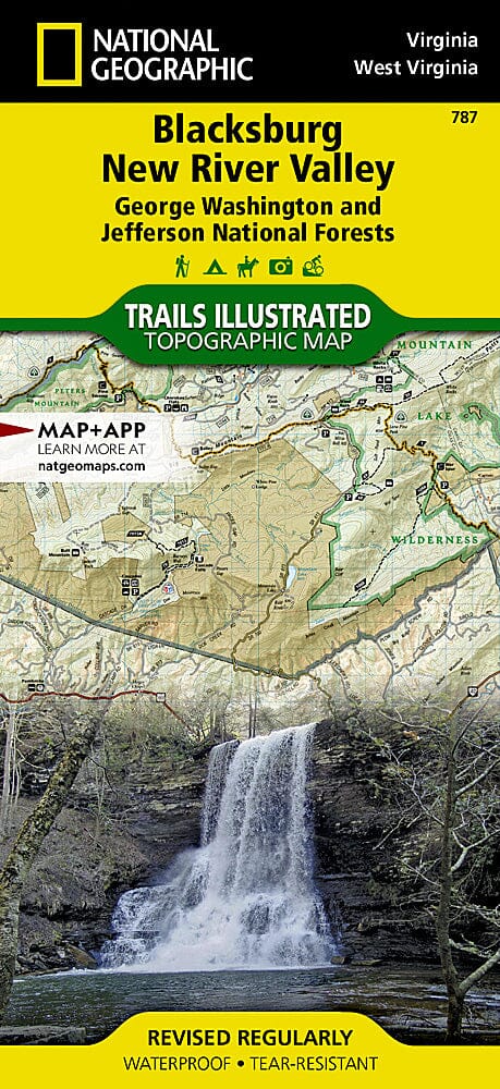
Outdoor enthusiasts seeking southeastern Virginia's abundant recreational opportunities will marvel at National Geographic's Trails Illustrated map of Blacksburg and New River Valley. Expertly researched and created in cooperation with the U.S. Forest Service and other agencies, this map provides unparalleled detail on the southern George Washington and Jefferson National Forests and the surrounding region, from Brush Mountain East Wilderness in the northeast to Beartown Wilderness in the southwest. Also covered are the Little Wolf Creek, Kimberling Creek, Garden Mountain, Brush Mountain, Mountain Lake, Peters Mountain, and Hunting Camp Creek wilderness areas.
The map's activity and trail guides will help you select the most appropriate location and route for your outdoor adventure, based on your needs and interests. Trails are labeled for hiking, horseback riding, mountain biking, or motorized use. The Appalachian Trail, which runs through the region, is marked with shelters, parking areas, and other facilities. To aid navigation, the map includes contour lines, elevations, labeled peaks and summits, watering holes, wooded areas, and selected landmarks. Those seeking a water adventure will find over 70 miles of the New River mapped with mileposts and marked areas for boat launches, river access, and swimming. Other pinpointed recreational features include campgrounds, RV campsites, public cabins, scenic overlooks and observation towers, wildlife viewing areas, and waterfalls.
Each Trails Illustrated map is printed on waterproof and tear-resistant Backcountry Tough paper. A complete UTM grid is printed on the map to aid GPS navigation.
.
Other features found on this map include: Blacksburg, Bluefield, Brushy Mountain, Christiansburg, Claytor Lake, East River, East River Mountain, Hunting Camp Creek Wilderness, Jefferson National Forest, Mountain Lake Wilderness, Poor Mountain, Sinking Creek, Walker Mountain.

![George Washington National Forest [Map Pack Bundle] | National Geographic carte pliée](http://mapscompany.com/cdn/shop/products/george-washington-national-forest-pack-de-cartes-national-geographic-carte-pliee-national-geographic-961093.jpg?v=1694457876&width=900)
![Jefferson National Forest [Map Pack Bundle] | National Geographic carte pliée](http://mapscompany.com/cdn/shop/products/foret-nationale-de-jefferson-pack-de-cartes-national-geographic-carte-pliee-national-geographic-882355.jpg?v=1694456994&width=900)
![Cherokee National Forest [Map Pack Bundle] | National Geographic carte pliée](http://mapscompany.com/cdn/shop/products/cherokee-national-forest-pack-de-cartes-national-geographic-carte-pliee-national-geographic-378724.jpg?v=1694452999&width=900)