Carte routière n° 386 - Gippsland discovery (Victoria, Australie) | UBD Gregory's carte pliée UBD Gregory's

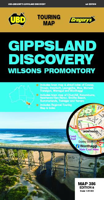
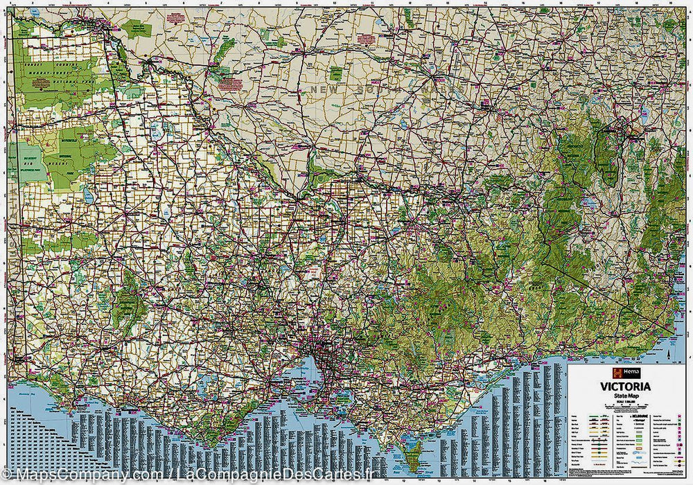
Road map No. 386 - Gippsland Discovery (Victoria, Australia) | UBD Gregory's

Price
Regular price $14.00
Regular price Sale price $14.00
Save $-14
/
  • Shipping within 24 working hours from our warehouse in France
  • Delivery costs calculated instantly in the basket
  • Free returns (*)
  • Real-time inventory
  • Low stock - 1 item left
  • Backordered, shipping soon
Tax included.

Often purchased together:

Gippsland and Wilsons Promontory tourist map to use when traveling in the area.
Includes a regional map and cities indexes covering Buxton north, the Wilsons promontory south, Heyfield in the east and Craigieburn south.
There is also a street mapping and cities descriptions for the cities of Churchill, Cowes, Inverloch, Korumburra, Leongatha, Moe, Morwell, Trararalgon, Warragul and Yarram, as well as maps of the cities of Drouin and Trafalgar.
Phillip Island is also covered with Cowes Plans, Newhaven, San Remo, Smiths Beach and Summerlands.
You will find a detailed description of the main attractions and activities of The region and a list of visitor information centers.


ISBN/EAN : 9780731932337
Publication date: 2020
Scale: 1/25,000 (1cm=250m)
Printed sides: both sides
Folded dimensions: 22.5 x 11.5cm
Unfolded dimensions: 69 x 92cm
Language(s): English
Weight: 80 g

Customer Reviews

Be the first to write a review
0%
(0)
0%
(0)
0%
(0)
0%
(0)
0%
(0)