Carte détaillée n° 382 - Ballarat & Grampians (Victoria) | UBD Gregory's carte pliée UBD Gregory's

Details # 382 - Ballarat & Grampians (Victoria) | UBD Gregory's

Details # 382 - Ballarat & Grampians (Victoria) | UBD Gregory's

Regular price $13.00
/
  • Shipping within 24 working hours from our warehouse in France
  • Delivery costs calculated instantly in the basket
  • Free returns (*)
  • Real-time inventory
  • Low stock - 2 items left
  • Backordered, shipping soon
Tax included.

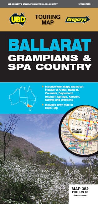
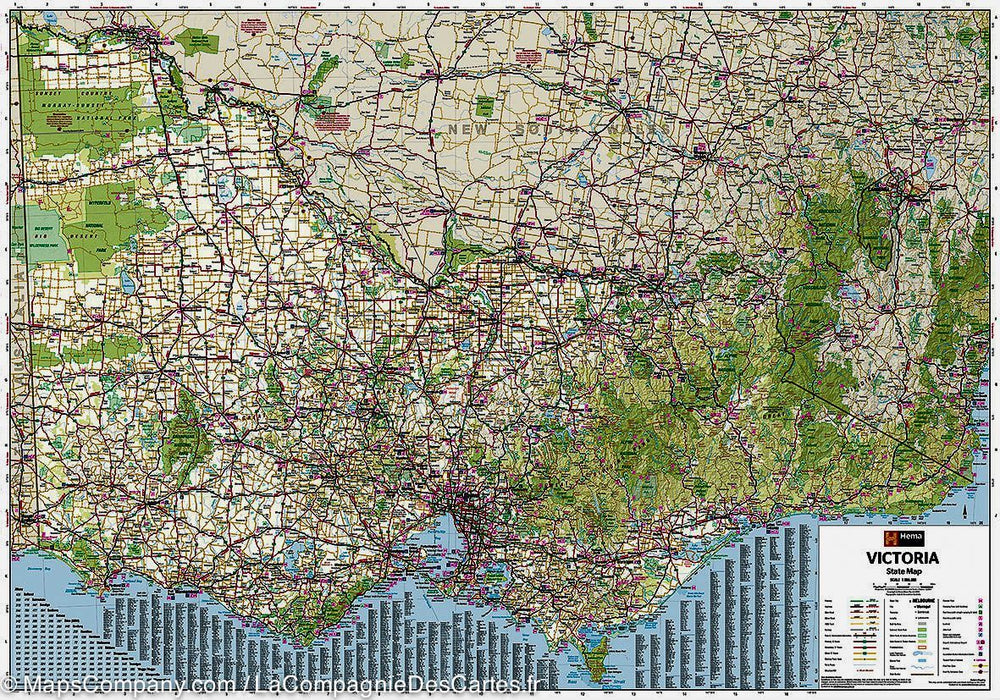
The Grampian Ballarat Spa Country Map is a regional tourist map covering Harcourt & Amp Campbells Bridge north, Cressy south, Romsey in the East and Wartook and Dunkeld in the West. It includes:
- a map and an index of the streets of Ballarat
- Aaps Ararat, Daylesford and Hepburn Springs, Gap Halls, Kyneton, Stawell and Woodend
- and a list of tourist attractions regional.


ISBN/EAN : 9780731932979
Publication date: 2022
Scale: 1/25,000 (1cm=250m)
Printed sides: both sides
Folded dimensions: 25 x 11.5cm
Unfolded dimensions: 69 x 100cm
Language(s): English
Poids : 80 g

Customer Reviews

No reviews yet
0%
(0)
0%
(0)
0%
(0)
0%
(0)
0%
(0)