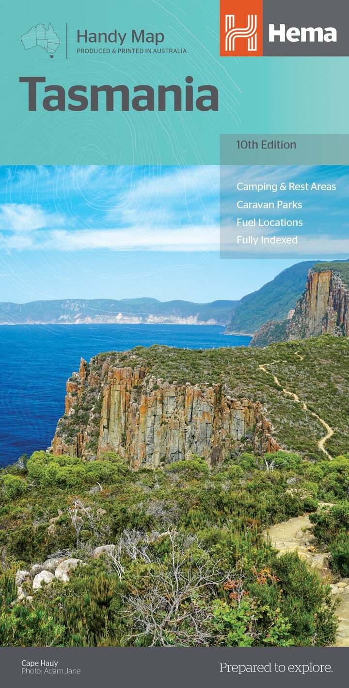
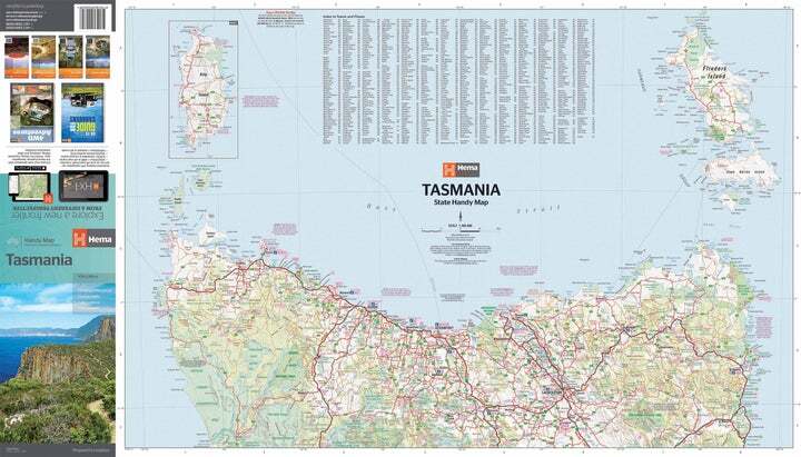
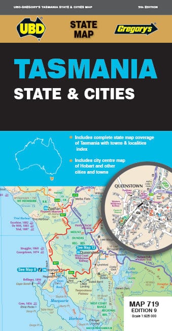
Travel Map - New South Wales, Victoria & Tasmania | ITM

Price
Regular price $13.00
Regular price Sale price $13.00
Save $-13
/
  • Shipping within 24 working hours from our warehouse in France
  • Delivery costs calculated instantly in the basket
  • Free returns (*)
  • Real-time inventory
  • In stock, ready to ship
  • Backordered, shipping soon
Tax included.

Often purchased together:

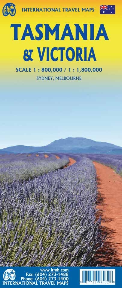
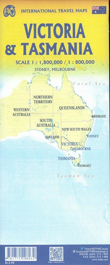
Travel map that covers the 3 Australian states: New South Wales, Victoria & Amp Tasmania

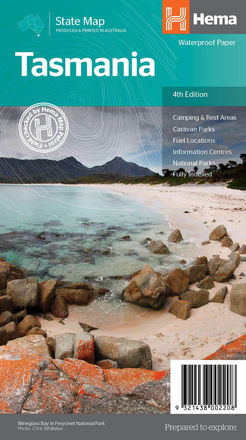
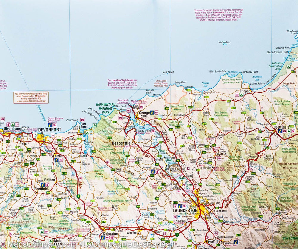
This is the most densely populated part of Australia, extending from Lismore to the northeast to the Tasman Sea to the south. The map includes all New South Wales (NSW) and Victoria State, with Southern Australia until Adélaide. It also shows in detail the Tasmania, the only island state of Australia, as well as Flinders Island and King Island.

The map includes two very large Melbourne and Sydney inset maps.

The expanded scale makes it possible to have enough space to include campgrounds in the open nature, leisure vehicle parks, airports, gas stations in more remote states, sites of the World Heritage, national parks and state and a multitude of points of interest.


Legend includes:
Routes by classification, rivers and lakes, National Park, Airports, Points of Interest, Highways, Main Roads, Zoos, Fishing, etc.


ISBN/EAN : 9781771298032
Publication date: 2022
Scale: 1/800,000 (1cm=8km) & 1/1,800,000
Printed sides: both sides
Folded dimensions: 24.6 x 10.3 x 0.5cm
Unfolded dimensions: 100 x 69cm
Language(s): English
Weight: 80 g

Customer Reviews

Be the first to write a review
0%
(0)
0%
(0)
0%
(0)
0%
(0)
0%
(0)