TOP 25 Map No. 2113 ET - Mantes-la-Jolie, Loops of the Seine, French Vexin Regional Natural Park | IGN
Regular price
$17.00
Regular price
Sale price
$17.00
Save $-17
/
- Shipping within 24 working hours from our warehouse in France
- Delivery costs calculated instantly in the basket
- Free returns (*)
- Real-time inventory
- In stock, ready to ship
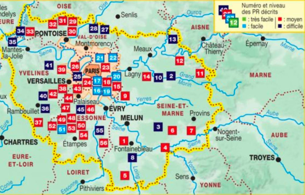
Related geographic locations and collections: France hiking maps - IGN TOP 25 & SÉRIE BLEUE, Hiking around Paris, Ile-de-France, Paris & Region hiking maps - IGN TOP 25 & SÉRIE BLEUE, Vexin, Yvelines (department 78)