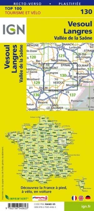
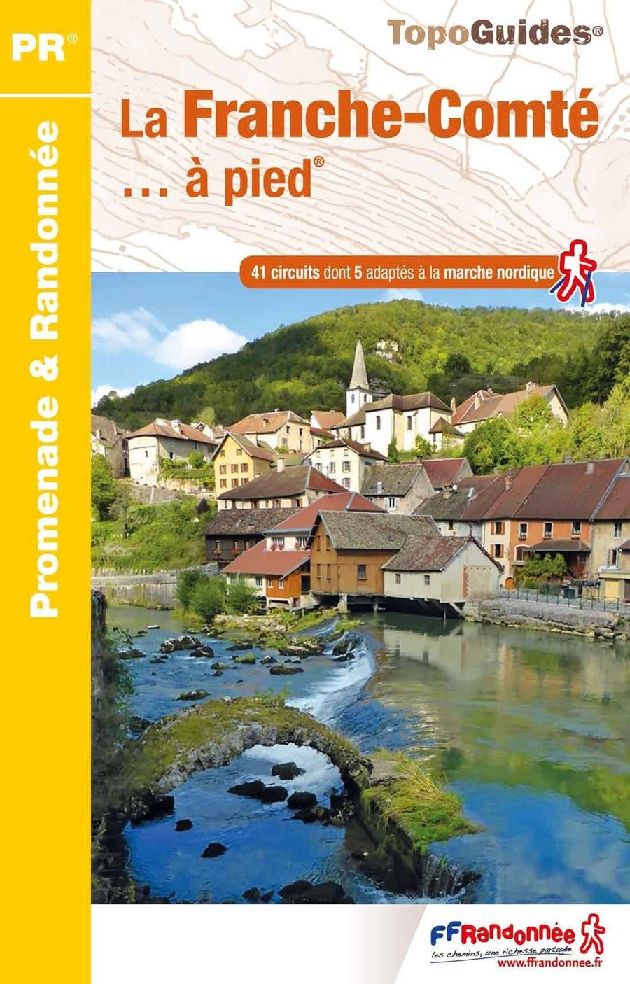
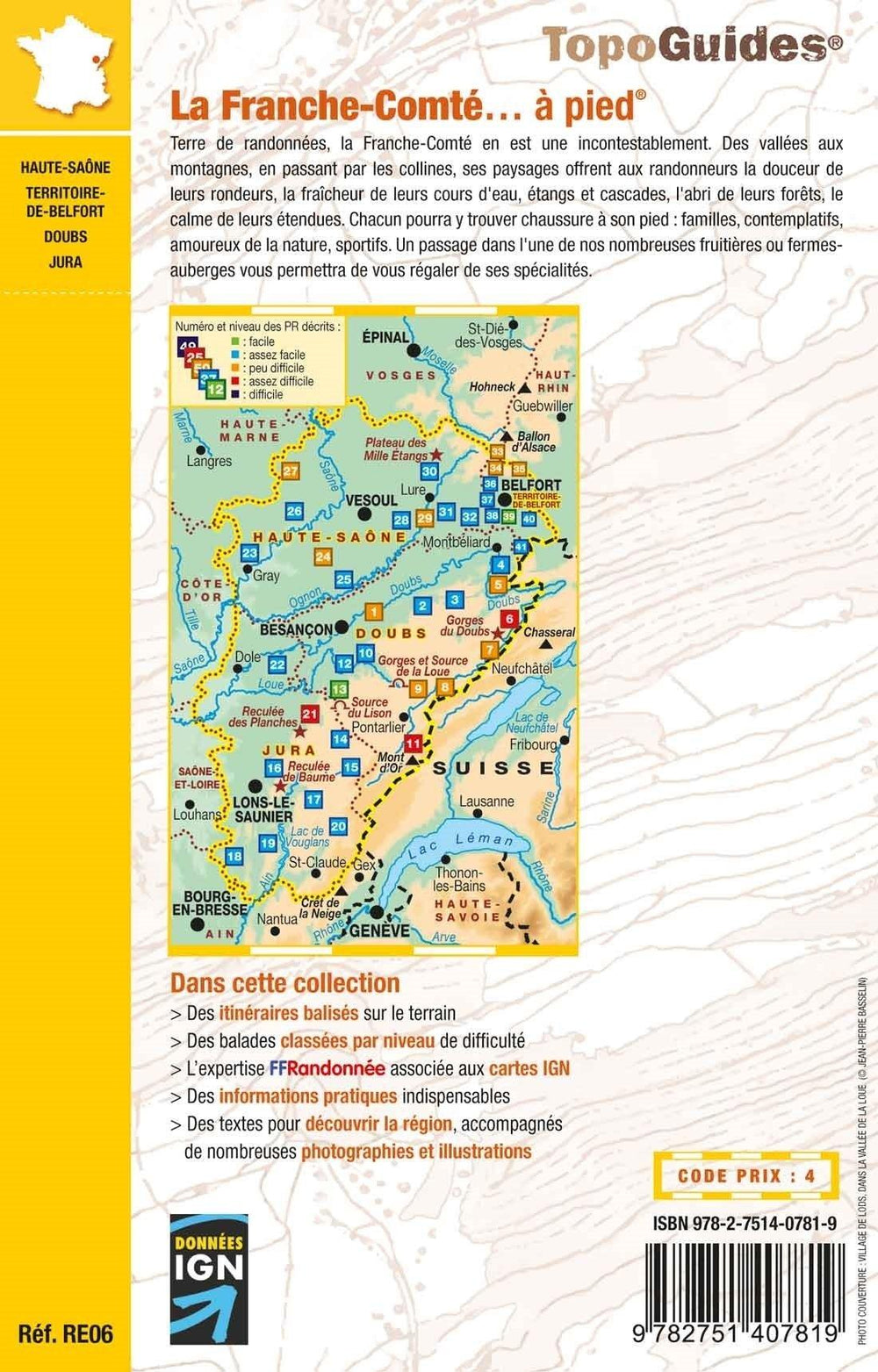
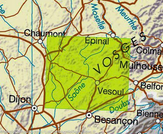
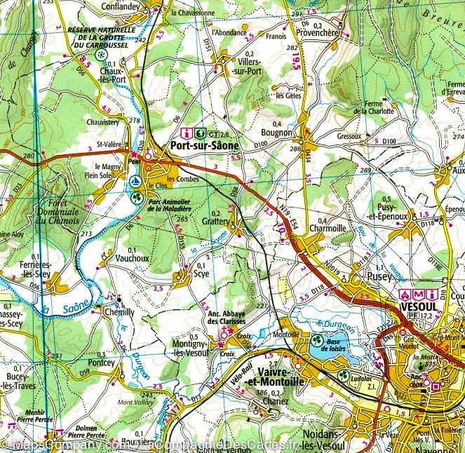
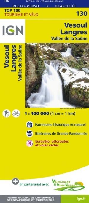
Carte TOP 100 n° 130 - Vesoul, Langres & Vallée de la Saône | IGN carte pliée IGN

Top 100 Map ° 130 - Vesoul, Langres & Saone Valley | IGN

Top 100 Map ° 130 - Vesoul, Langres & Saone Valley | IGN

Regular price $10.00
/
  • Shipping within 24 working hours from our warehouse in France
  • Delivery costs calculated instantly in the basket
  • Free returns (*)
  • Real-time inventory
  • In stock, ready to ship
  • Backordered, shipping soon
Tax included.
Map IGN Top 100 of the region of Vesoul, Langres and the Saone Valley: a road map but also a hiking map to discover a region as well by car, cycling or on foot. This map gives with great precision the road network (main roads, secondary, small roads) and motorway and also indicates the hiking trails (GR). The relief is well highlighted by level curves. Indication of bike paths. Signaling of tourist attractions (leisure parks, climbing spots ...). This map includes GPS compatible grid. It has a brand new Recto / verso laminated format, it incorporates the bike courses in partnership with the AF3V association (Véloroutes and Greenways). The plots are described in order to clearly identify the most accessible or difficult paths, it's up to you to choose according to your expectations. Scale 1 / 100,000 (1 cm = 1 km).


ISBN/EAN : 9782758540823
Publication date: 2017
Scale: 1/100,000 (1cm=1km)
Printed sides: both sides
Folded dimensions: 23.6 x 11.2 x 0.5cm
Unfolded dimensions: 120 x 96cm
Language(s): French, English, German
Poids : 85 g

Customer Reviews

No reviews yet
0%
(0)
0%
(0)
0%
(0)
0%
(0)
0%
(0)