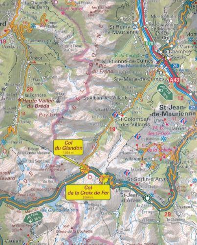


Detailed map - Route des Large Alpes | IGN
Detailed map - Route des Large Alpes | IGN
Regular price
$11.00
- Shipping within 24 working hours from our warehouse in France
- Delivery costs calculated instantly in the basket
- Free returns (*)
- Real-time inventory
- In stock, ready to ship
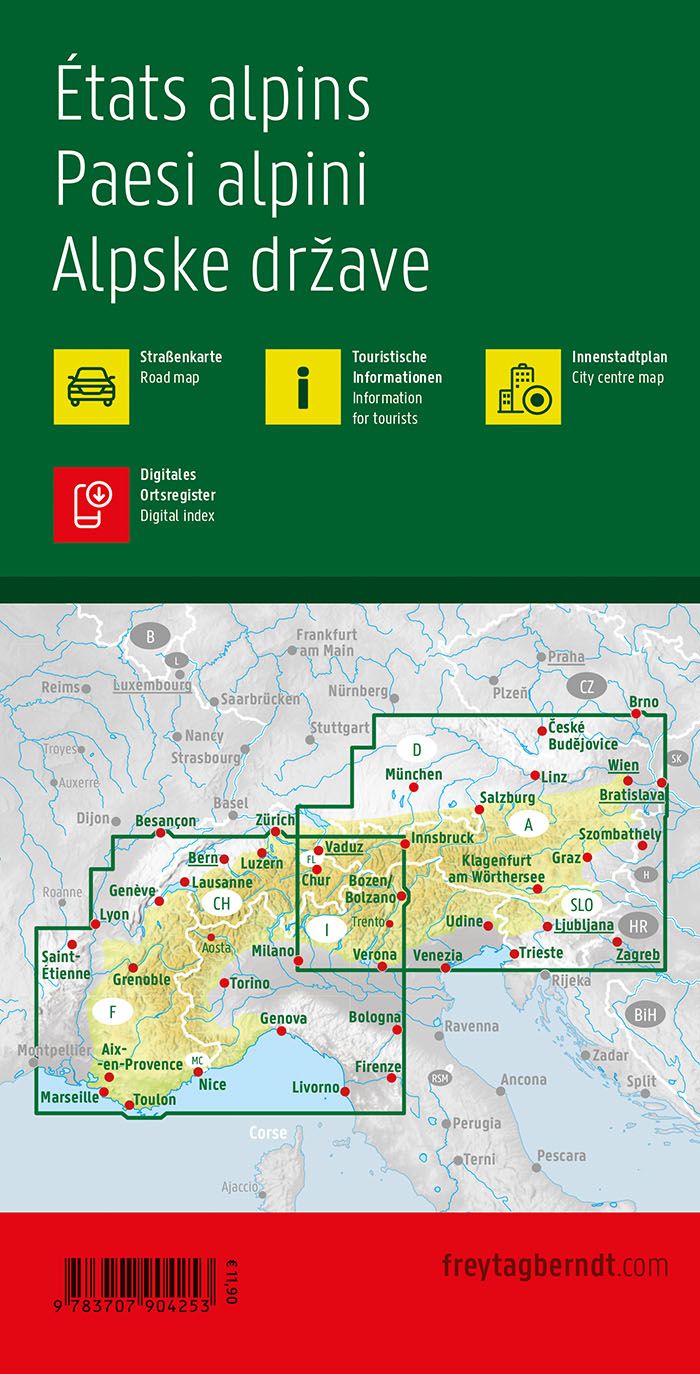
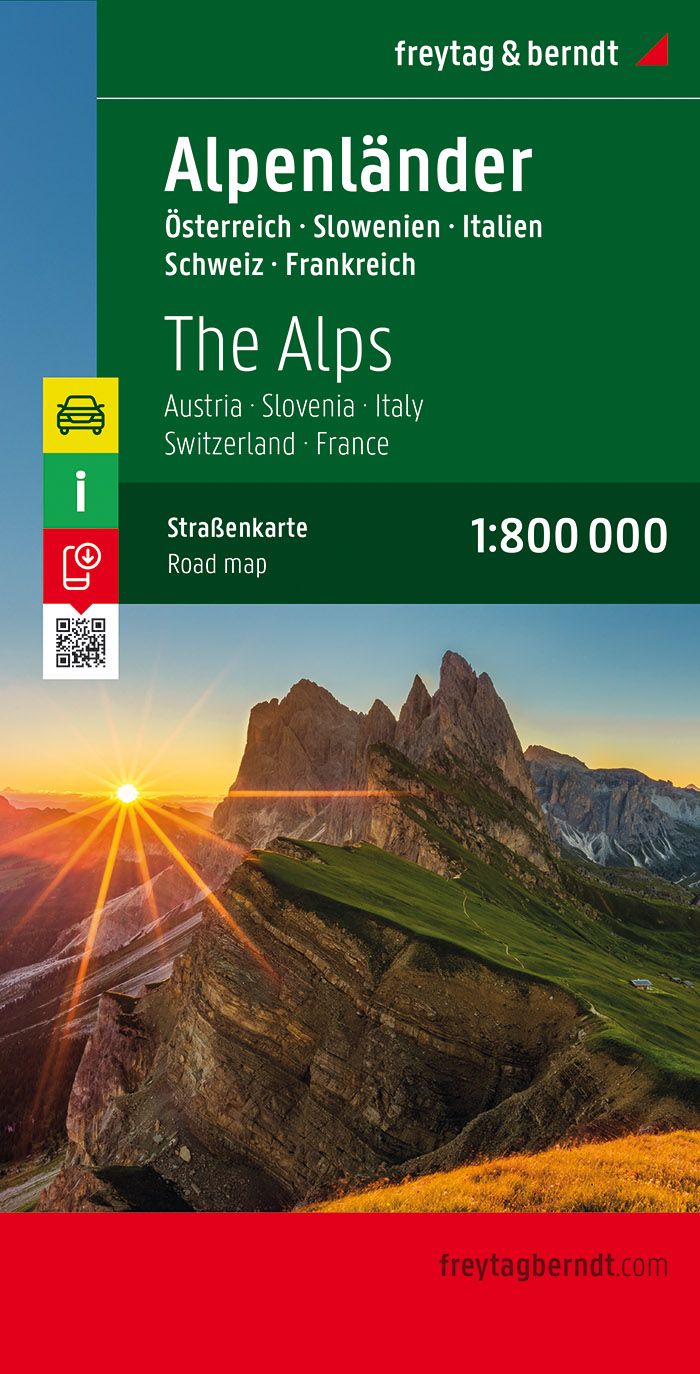
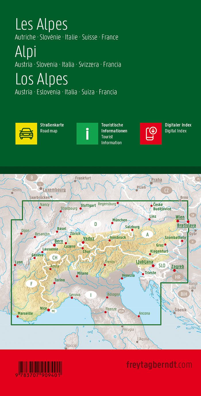
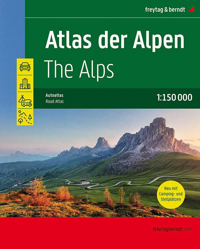
Related geographic locations and collections: Alps, Alps (hiking maps), French Alps (all hiking), Haute Route, Menton, Route des Grandes Alpes, Thonon-les-Bains