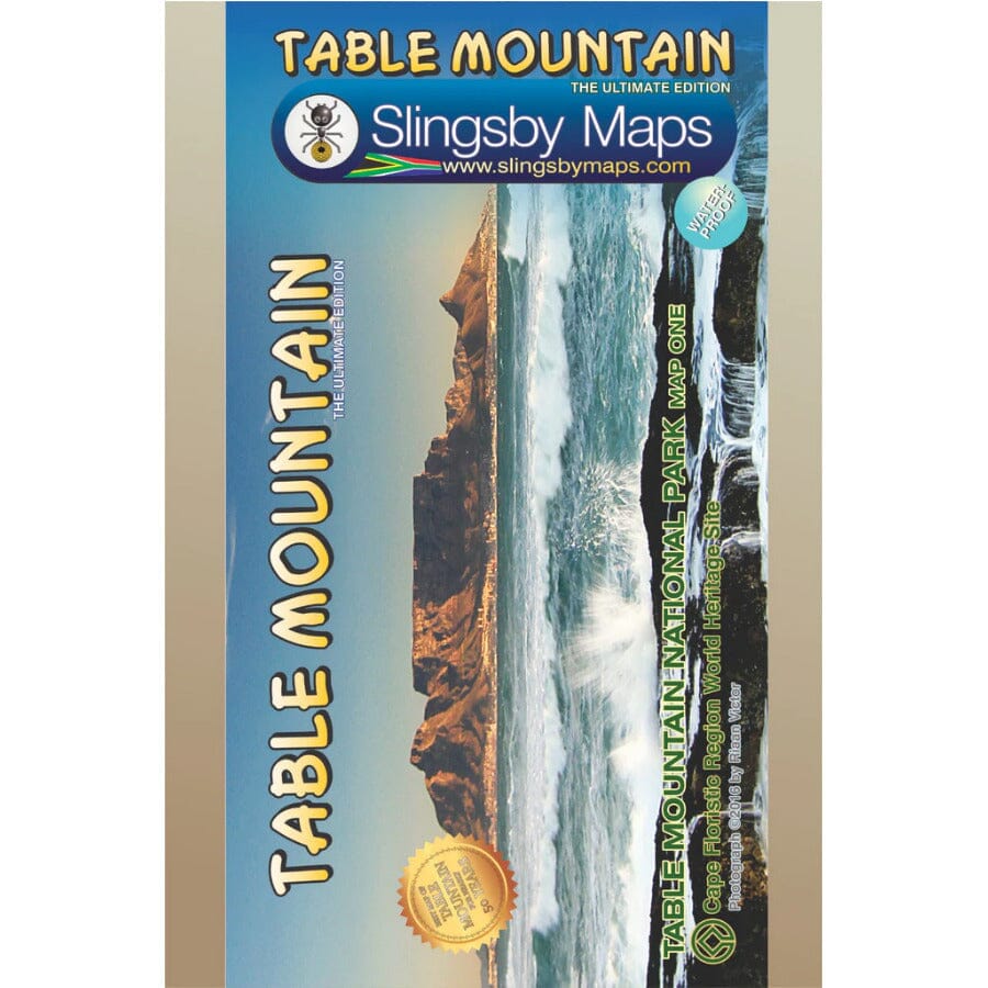
Carte de randonnée imperméable - Table Mountain (Afrique du Sud) | Tracks4Africa carte pliée Tracks4Africa

Waterproof hiking map - Table Mountain (South Africa) | Tracks4Africa

Price
Regular price $28.00
Regular price Sale price $28.00
Save $-28
/
  • Shipping within 24 working hours from our warehouse in France
  • Delivery costs calculated instantly in the basket
  • Free returns (*)
  • Real-time inventory
  • In stock, ready to ship
  • Backordered, shipping soon
Tax included.

Often purchased together:

This highly detailed map shows all approved trails on the mountain and includes full GPS information. The map shows the Hoerikwaggo and the People's Trail, and covers the area from Signal Hill to Devil's Peak and from Llandudno to Constantia Nek and the Vlakkenberg Plateau.
This is the only mountain map approved by Table Mountain National Park and the Mountain Club of South Africa.


ISBN/EAN : 9781920377373
Publication date: 2019
Scale: 1/20,000 (1cm=200m)
Printed sides: both sides
Folded dimensions: 13 x 19cm
Language(s): English
Weight: 90 g

Customer Reviews

Be the first to write a review
0%
(0)
0%
(0)
0%
(0)
0%
(0)
0%
(0)