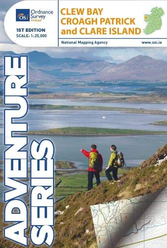
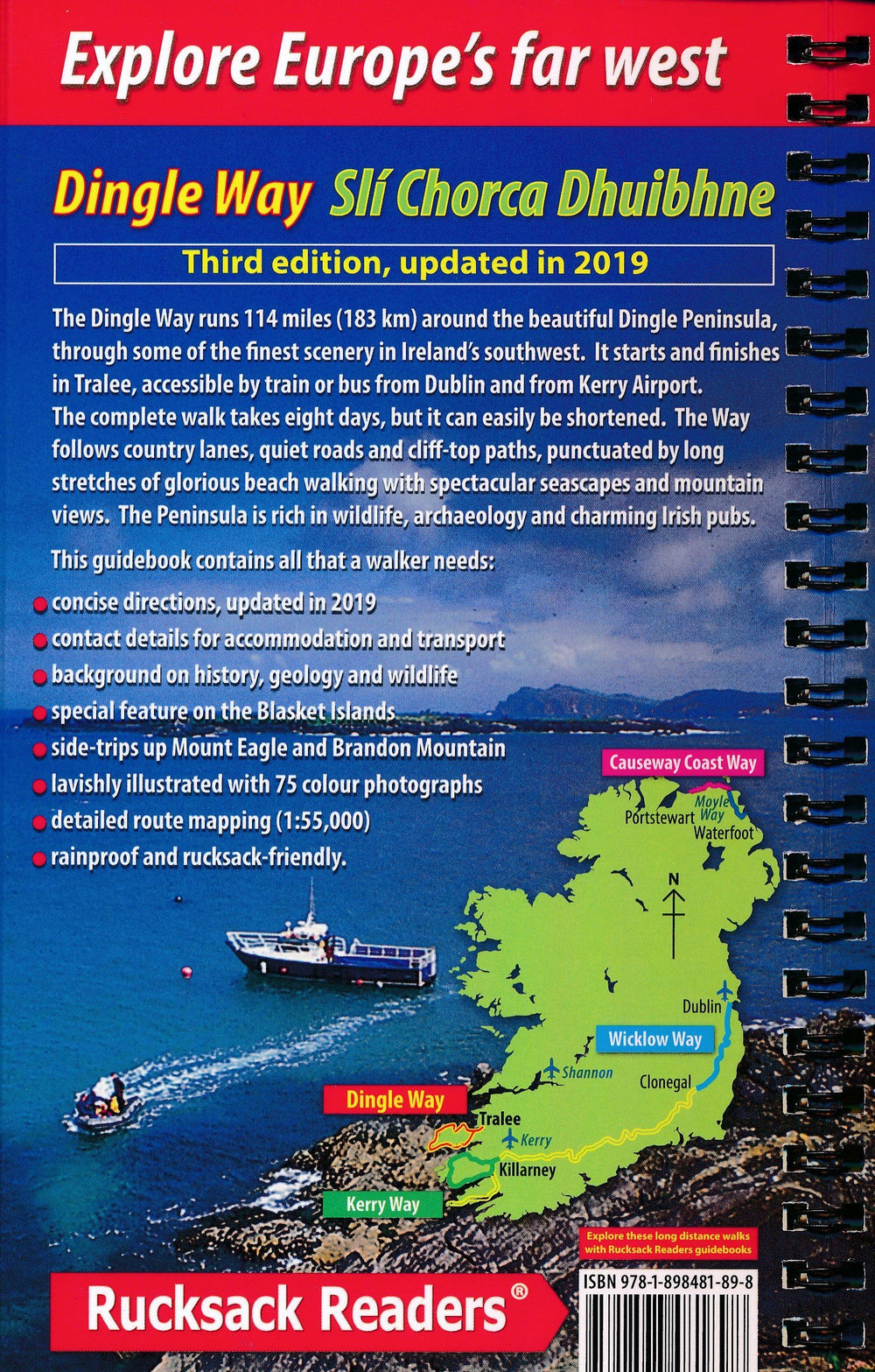
Hiking Map - Clew Bay, Croagh Patrick & Clare Island (Ireland) | Ordnance Survey - Adventure series
Hiking Map - Clew Bay, Croagh Patrick & Clare Island (Ireland) | Ordnance Survey - Adventure series
Regular price
$31.00
- Shipping within 24 working hours from our warehouse in France
- Delivery costs calculated instantly in the basket
- Free returns (*)
- Real-time inventory
Related geographic locations and collections: Hiking in Ireland, Ireland