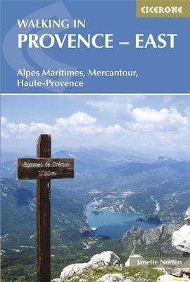
Pocket Topoguide (English) of the Cicerone publisher with detailed sheets for hiking in the Alpes-Maritimes, the Mercantour and the Alpes-de-haute-Provence.
Description provided by the publisher:
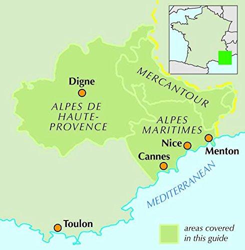
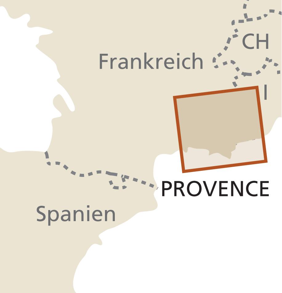
Guidebook to 30 Varied Day walks in the East of Provence in the Alps Maritimes, Alpes de Haute - Provence and Mercantour, with Practical Information for the Walker. walks Span from the Esterel on the Coast to The Mercantour, and Include The Verdon Throat and GEOGICAL RESERVE OF HAUTE PROVENCE, FROM BASES Such As Vence, Grasse and Digne - les - Bains.
Seasons: walks NEAR THE COAST CAN BE MADE AT ANY TIME OF THE YEAR, BUT THE HIGH TRAILS IN THE MERCANTOUR ARE RESTRICTED TO SNOW - FREE MONTHS IN SUMMER AND AUTUMN.
Centers: Vence and Grasse (Alpes Maritimes) Digne - les - Bains and Castellane (Alpes de Haute - Provence) Guillauses and the Val de Entranes (Mercantour).
Difficulty: Circular Day walks, Suitable for Averagely Fit People and Graded Easy, Medium Gold Difficult, Depending On Length, Total Ascent and Field Easy walks Are Short, While Difficulty Take Up to Eight Hours and May Include Which Sections Are Precipitous Gold Difficult to Navigate NO SPECIAL EQUIPMENT IS NEEDED.
MUST SEE: Dramatic Mountain Ridges, Alpine Lakes and Deep River Gorges Perched Medieval Villages, Ruined Castles and Churches The Red Rocks in the Esterel on the Mediterranean Coast to High Mountains in the Mercantour
ISBN/EAN : 9781852846176
Publication date: 2014
Folded dimensions: 12 x 17cm
Language(s): English
Weight:
264 g


