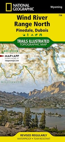
Wind River Range North Pinedale, Dubois | National Geographic carte pliée

Wind River Range North Pinedale, Dubois | National Geographic

Price
Regular price $17.00
Regular price Sale price $17.00
Save $-17
/
  • Shipping within 48 business hours from our warehouse in the USA. For this product, customs fees may be requested by the carrier upon delivery.
  • Delivery costs calculated instantly in the basket
  • Free returns (*)
  • Real-time inventory
  • In stock, ready to ship
  • Backordered, shipping soon
Tax included.

Often purchased together:

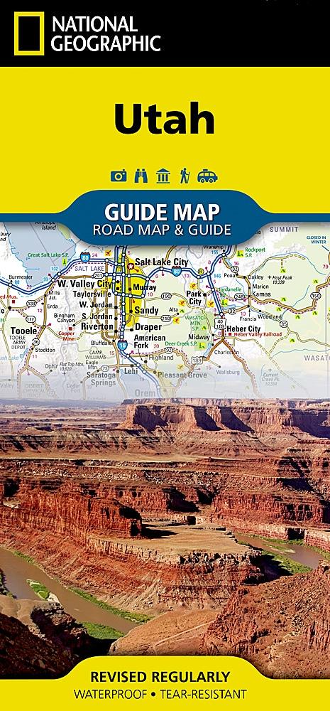
Year-round activities abound along Utah's Wasatch Front region. This map highlights major points of interest, including Salt Lake City, Strawberry and Deer Creek Reservoirs, the Strawberry River, Heber City, Timpanogos Cave National Monument, Orem, Utah Lake, Jordanelle, Rockport, East Canyon, and Wasatch Mountain State Parks, and the Weber River. This map can guide you off the beaten path and back again with miles of mapped trails, including part of the Great Western Historic Trail and the Historic Union Pacific Rail Trail. Trail use designations and mileages are clearly marked. Alpine Loop, Big Cottonwood Canyon, and other scenic drives are marked for those who want to take in the scenery by car. Picnic sites in Mill Creek and Big Cottonwood Canyons are marked, and a handy camping guide lists campground locations, elevations, amenities, and the number of sites at each. Among the many recreational opportunities are boat launches, trailheads, interpretive trails, swimming and fishing areas, terrain parks, and ski slopes.


ISBN/EAN : 9781566958264
Publication date: 2021
Folded dimensions: 9.25 inches x 4.25 inches (23 x 10 cm)
Language(s): English
Weight: 3.2 oz

Customer Reviews

Be the first to write a review
0%
(0)
0%
(0)
0%
(0)
0%
(0)
0%
(0)