Topographic map of Wasatch Front South published by National Geographic. This map is the most comprehensive guide for outdoor enthusiasts enjoying the year - round recreation activities in this region.
Expertly researched and created in cooperation with the U.S. Forest Service and others, this map features key points of interest from Goshen and Juab Valleys in the west to Strawberry Ridge and Wasatch Plateau in the east.
Coverage includes recreation hotspots Uinta and Manti - La Sal National Forests, Mt. Nebo Wilderness Area, San Pitch Mountains, Joes Valley Reservoir and Lake Canyon Recreation Area.
Miles of mapped trails will lead you off the beaten path and back on again, including parts of the Great Western Trail, Arapeen OHV Trails and National Recreation Trails, all shown with mileage markers and labeled for motorized, non - motorized, snowmobile, OHV, ATV, motorcycle or Nordic ski use. Navigate the area using the map's contour lines, elevations, labeled peaks and summits, water features and clear boundaries of public recreation land as well as a complete road network, including numbered Forest Service roads.
Camping guides show each campground's location, elevation, amenities, and number of sites. Other recreation features include trailheads, interpretive trails, campgrounds, boat ramps, climbing areas, fishing holes, dump stations and marinas. State and national scenic byways are labeled along with their roadside facilities for those wishing to explore the area by car.
Other features found on this map include: Manti - La Sal National Forest, Mona Reservoir, Mount Nebo Wilderness, Payson, San Pitch Mountains, South Tent Mountain, Spanish Fork Peak, Uinta National Forest, Wasatch Plateau, Wasatch Range.
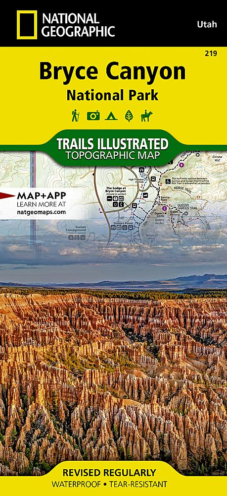
This topographic map is waterproof and tear - resistant.
Scale 1/75,000.