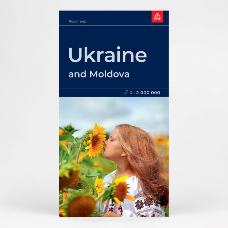
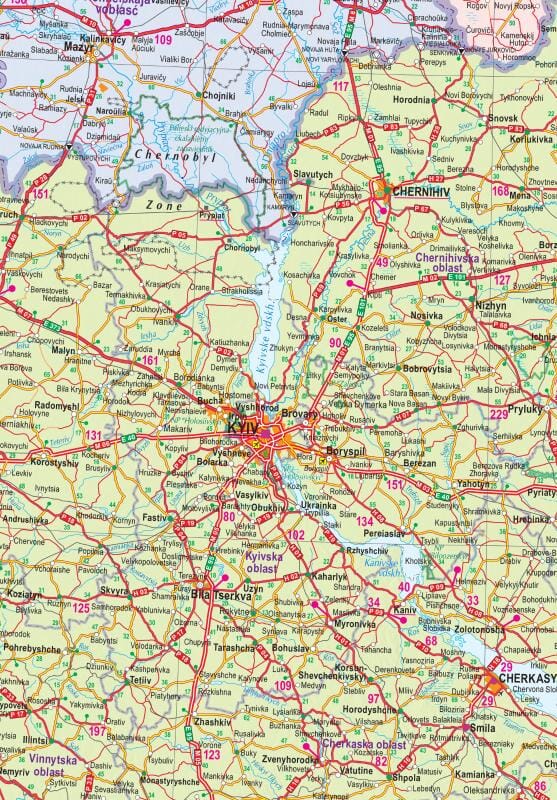
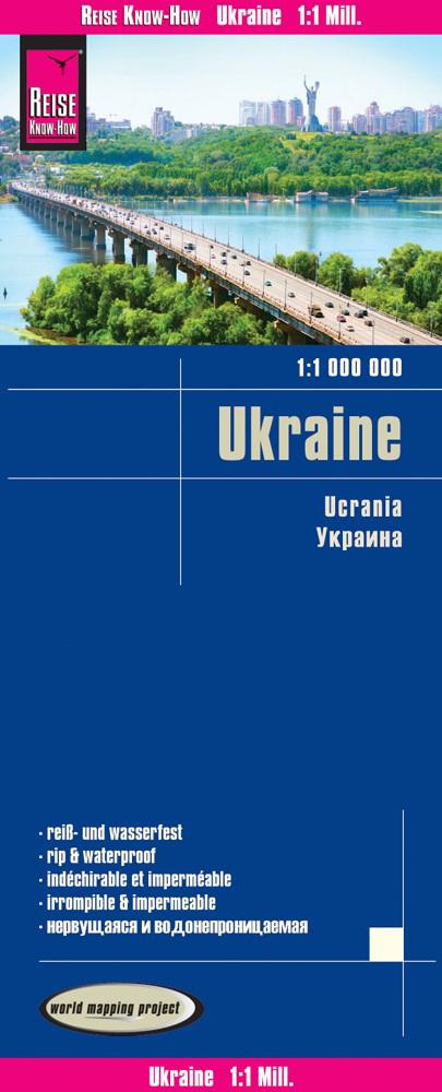
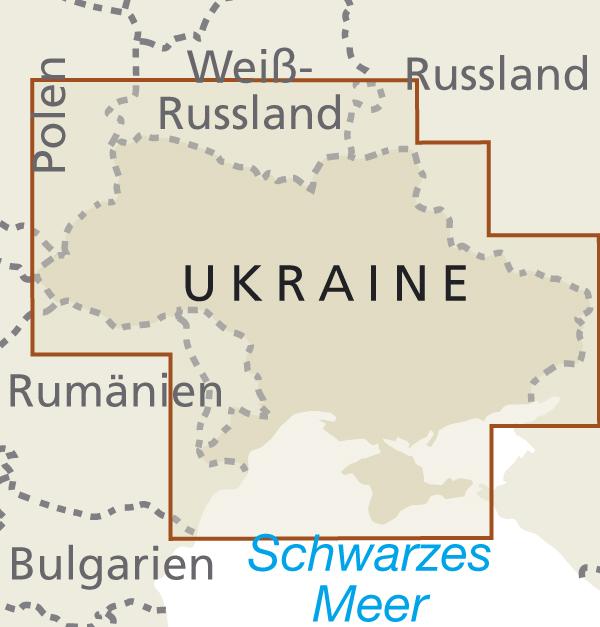
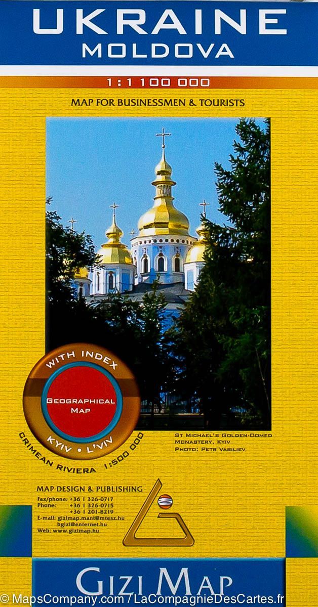
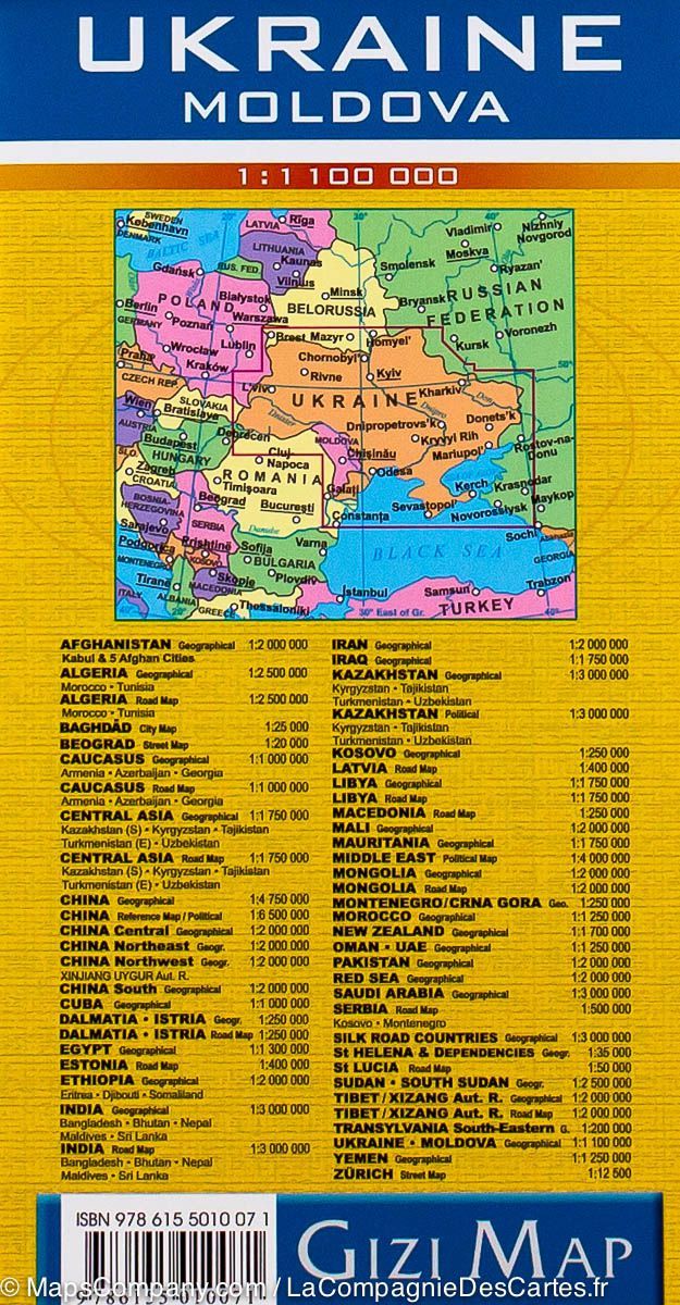
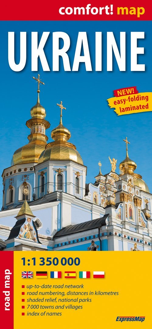
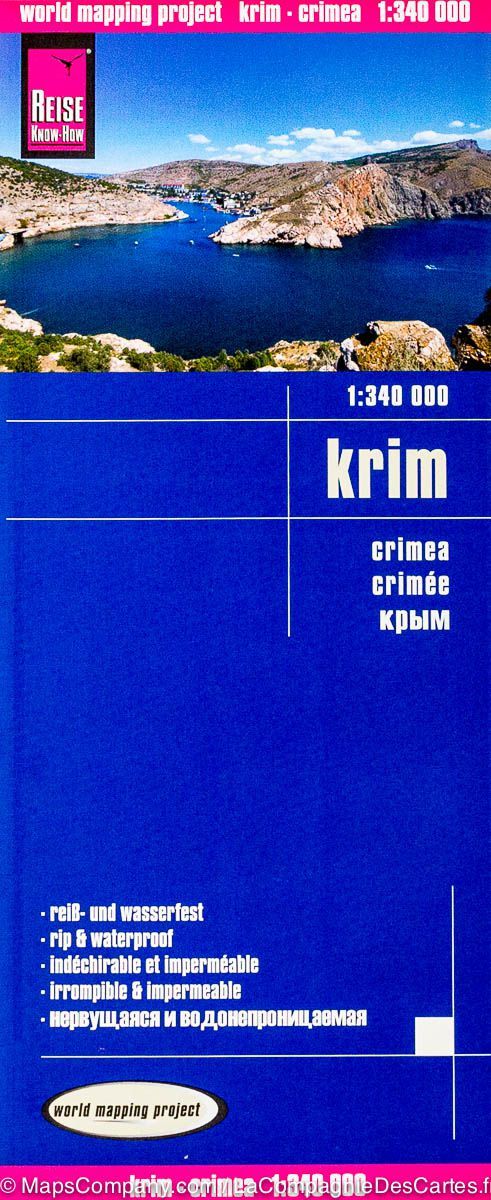
Map of Ukraine and Moldova published by Jana Seta (Latvian publisher). The map shows the country's road network, including a selection of dirt tracks, indicating driving distances on major roads and border crossings with full or limited access. Railway lines are also included, and local airports are indicated. The map also shows internal administrative boundaries with provincial names. Cities, towns, and other places of interest are highlighted.
Index of cities.
ISBN/EAN : 9789984077581
Publication date: 2022
Scale: 1/750,000 (1cm=7.5km
Printed sides: front
Folded dimensions: 12.5 x 24cm
Language(s): Latvian, English, German, French, Belarusian, Polish, Lithuanian, Russian
Weight:
80 g


