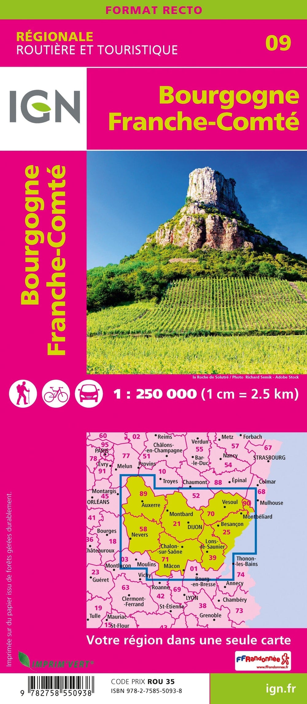
Regional map # 9: Burgundy & Franche County - Laminated wall map | IGN
Regular price
$86.00
Regular price
Sale price
$86.00
Save $-86
/
- Custom-made product – Ships within 7 to 10 business days to France, Belgium, Germany, Luxembourg, and the Netherlands from our workshop. For other countries: please contact us.
- Delivery costs calculated instantly in the basket
Related geographic locations and collections: Bourgogne-Franche-Comté, Franche-Comté, IGN - Maps of the regions of France, Wall Maps