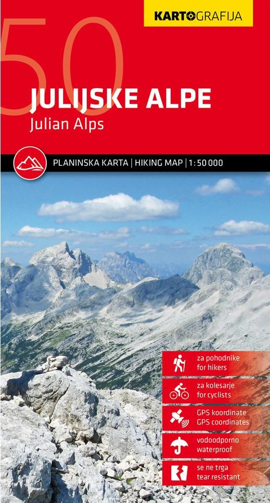
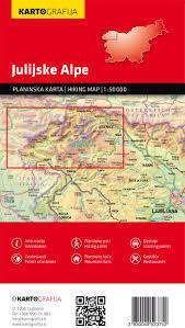
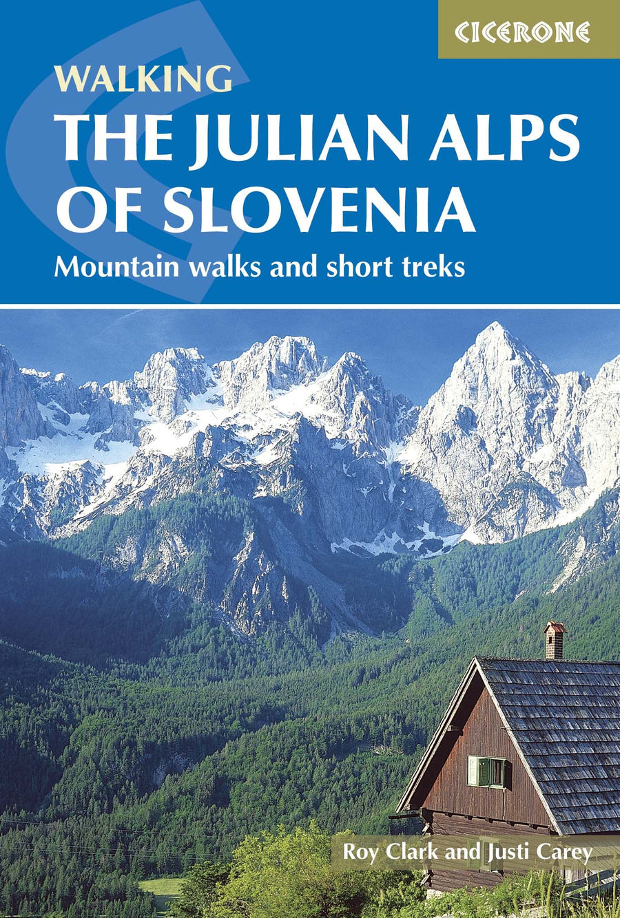
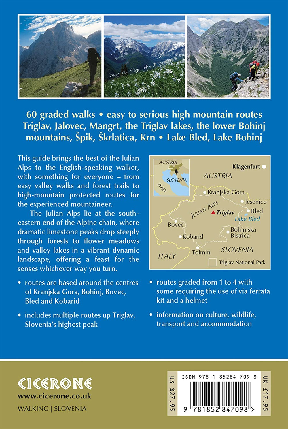
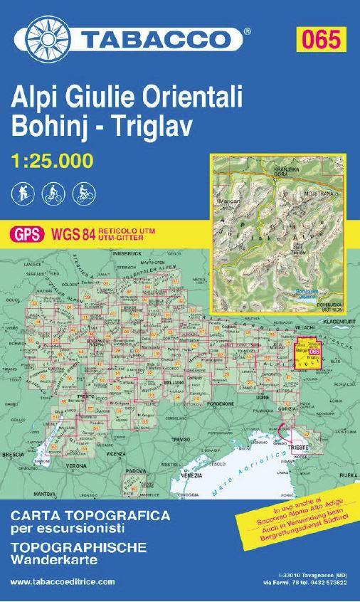
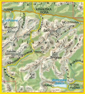
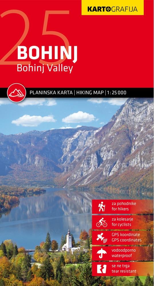
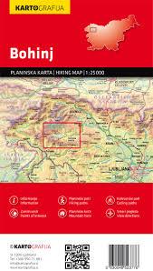
Julian Alps hiking map by Kartografija at a scale of 1:50,000. The map includes GPS coordinates and is printed on waterproof paper. The reverse side consists of a tourist guide with descriptions of tourist sites and mountain huts, with photographs. This map contains all the information on mountain routes, access points, attractions, and mountain huts.
The card is stored in a PVC cover.
ISBN/EAN : 3830048524315
Publication date: 2025
Scale: 1/50,000 (1cm=500m)
Printed sides: both sides
Folded dimensions: 12.5 x 23cm
Unfolded dimensions: 99 x 68cm
Language(s): English, Slovenian
Weight:
89 g


