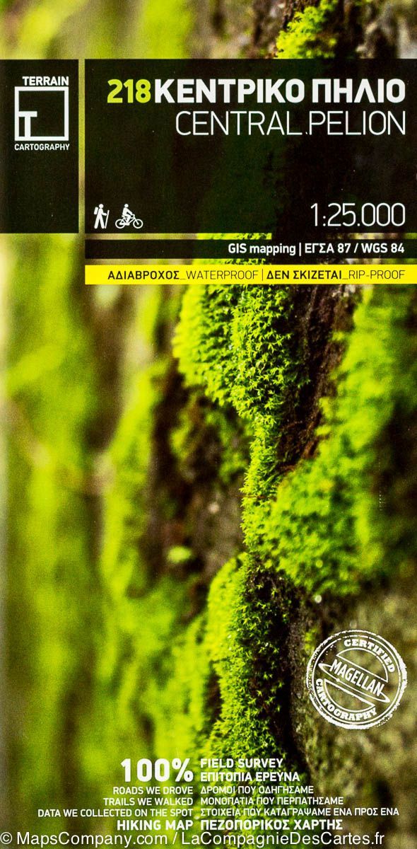
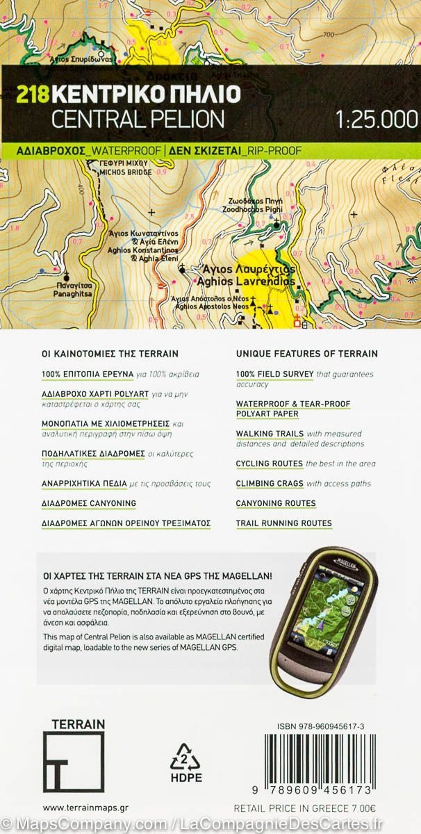
Carte de randonnée - Mont Pélion, Mont Mavrovouni | Anavasi carte pliée Anavasi

Hiking Map - Mont Pelion, Mont Mavrovouni | Anavasi

Hiking Map - Mont Pelion, Mont Mavrovouni | Anavasi

Regular price $12.00
/
  • Shipping within 24 working hours from our warehouse in France
  • Delivery costs calculated instantly in the basket
  • Free returns (*)
  • Real-time inventory
  • In stock, ready to ship
  • Backordered, shipping soon
Tax included.
Hiking Map of Mount Pelion and Mont Mavrovouni, waterproof, compatible GPS, indicating the relief by shading, sources, seasonal streams and the nature of the landscape (forests, orchards or vineyards etc.).
The names are Greek and Latin writing. Trails, hostels and shelters are clearly indicated. For road users, driving distances and service stations are indicated. The symbols indicate places of interest, including archaeological sites, churches and monasteries, etc.
The legend of the map includes English.


ISBN/EAN : 9789609412506
Publication date: 2022
Scale: 1/45000 (1cm=450m)
Folded dimensions: 12 x 23cm
Language(s): English, Greek
Poids : 60 g

Customer Reviews

Based on 1 review
100%
(1)
0%
(0)
0%
(0)
0%
(0)
0%
(0)
J
Jean-François M. (Voreppe, FR)
Conforme à la description

Conforme à la description