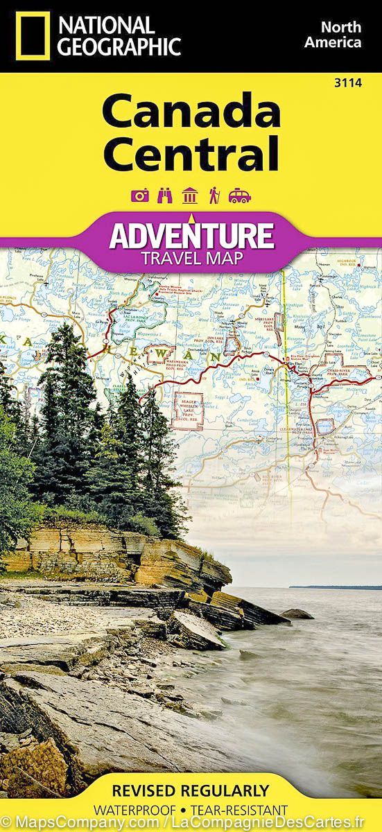
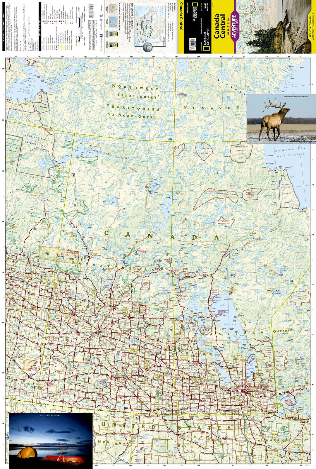
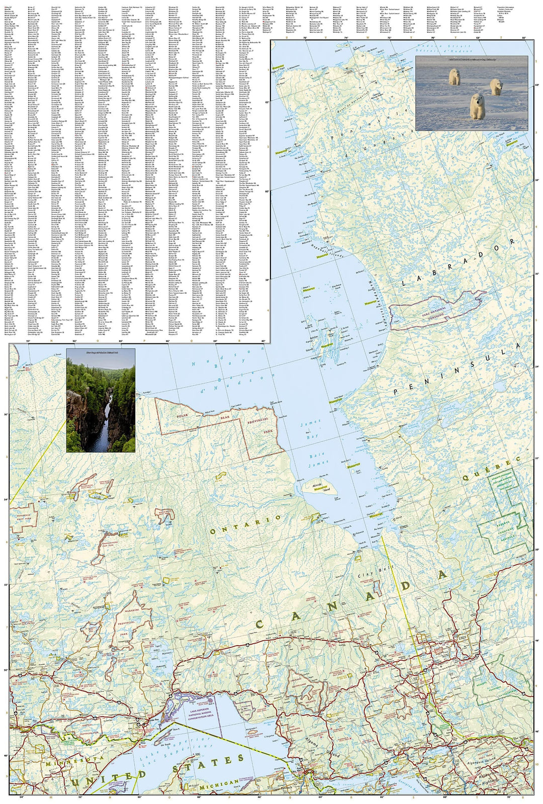
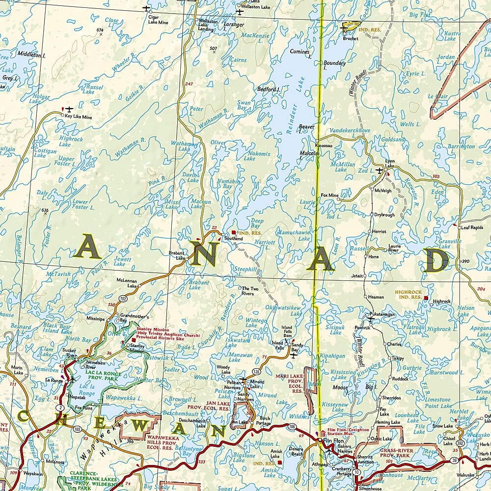
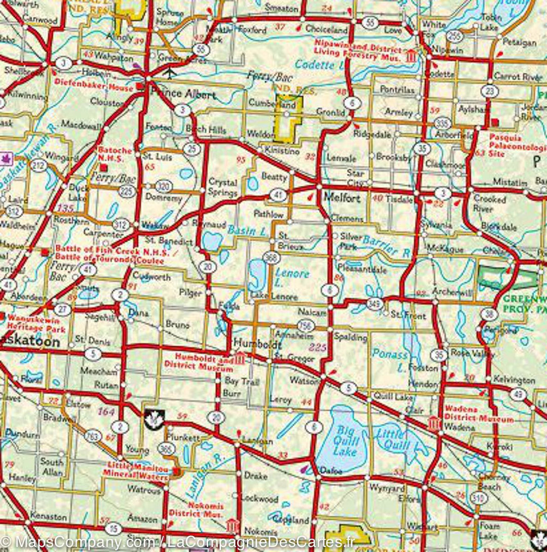
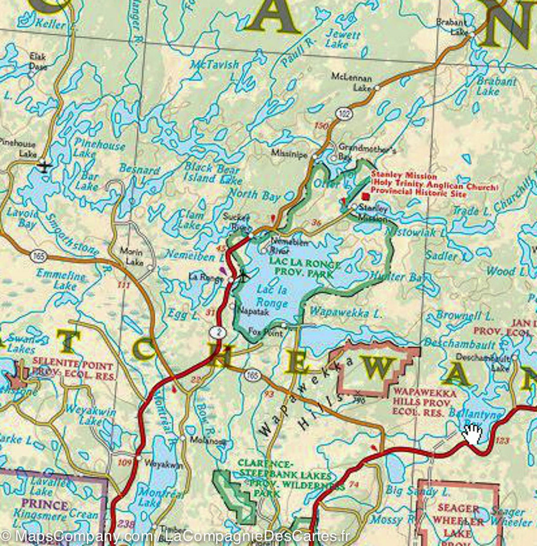
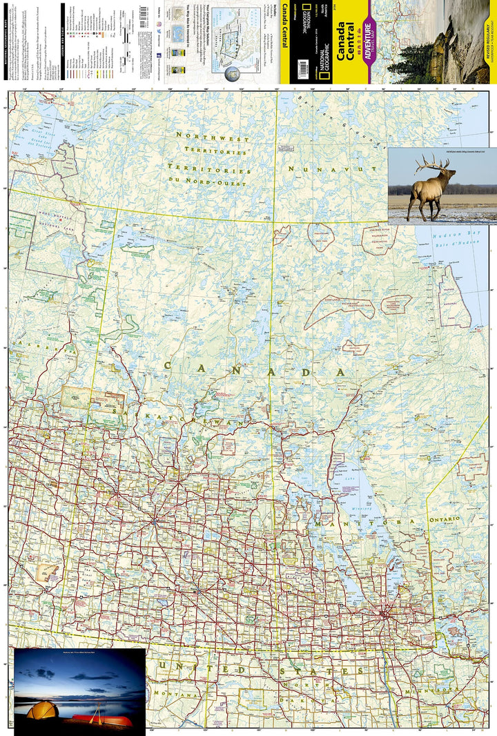
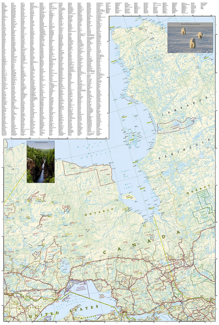
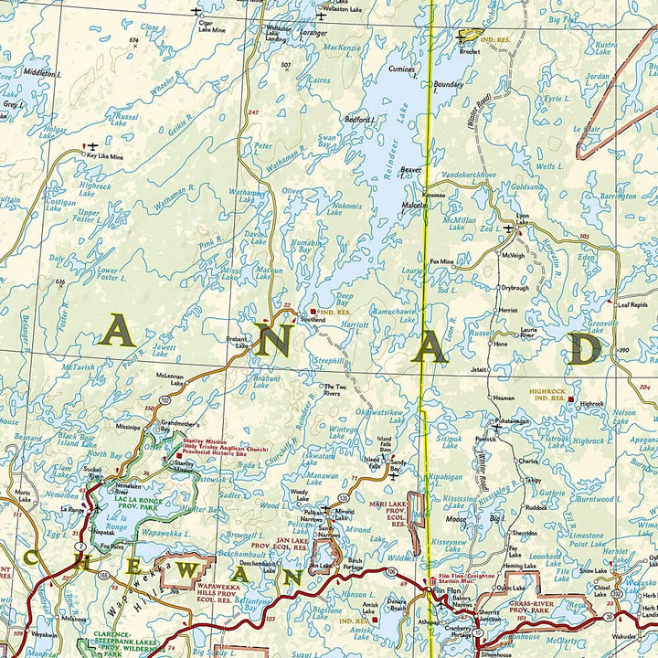
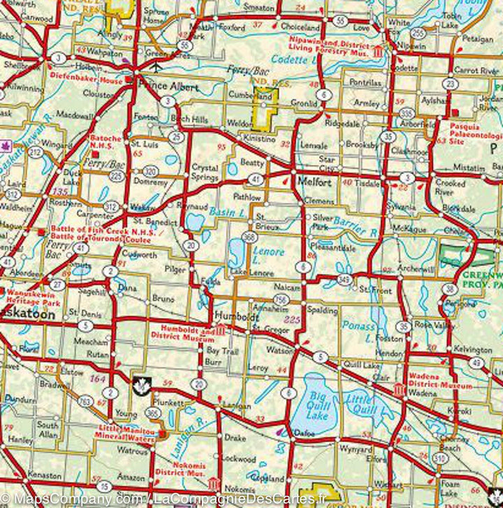
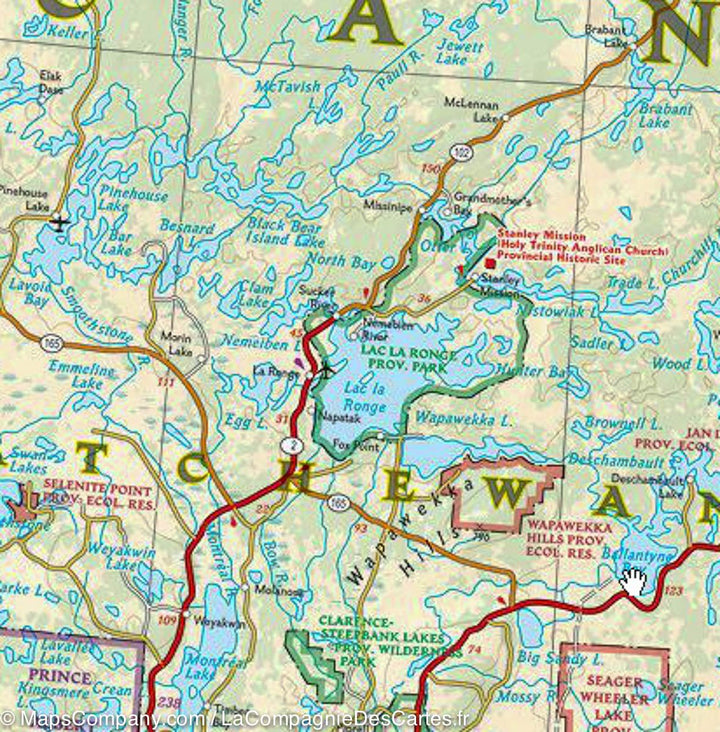
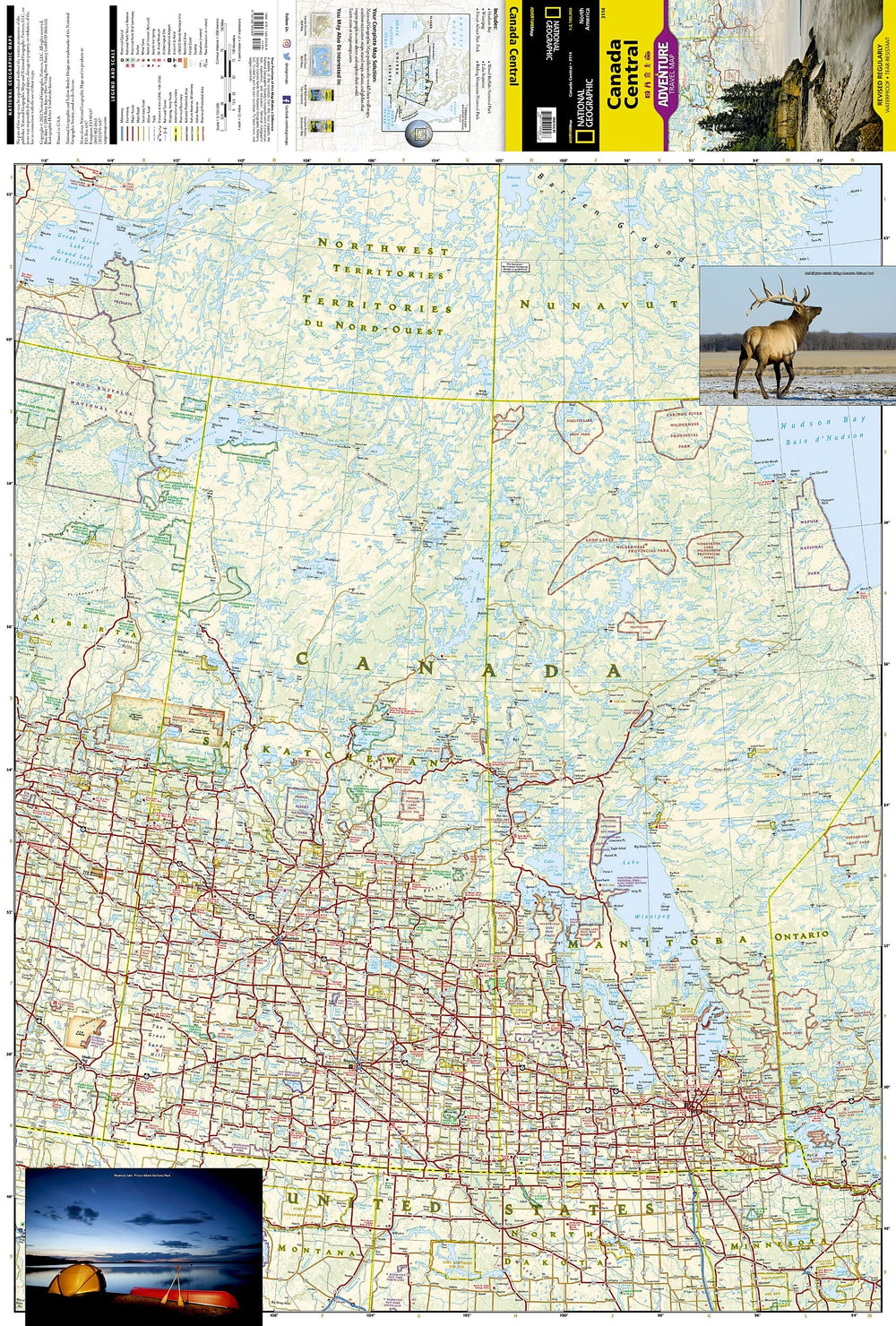
Central Canada Tourist map published by National Geographic. This map covers East Alberta, Saskatchewan, Manitoba, Northwest Territories, Nunavut, Ontario and a small part of Quebec. Roads and protected areas (national parks, reserves ...) are indicated. Tourist attractions and photos also included. Cities index.
Detailed waterproof and tearing resistant.
Scale 1/2 100 000.
ISBN/EAN : 9781566956369
Publication date: 2022
Scale: 1 / 2,100,000 (1cm = 21km)
Printed sides: both sides
Folded dimensions: 23.5 x 10.7 x 0.8cm
Unfolded dimensions: 100x70cm
Language(s): English
Weight:
89 g


