Carte routière - Iran | Freytag & Berndt carte pliée Freytag & Berndt

Road Map - Iran | Freytag & Berndt

Road Map - Iran | Freytag & Berndt

Regular price $15.00
/
  • Shipping within 24 working hours from our warehouse in France
  • Delivery costs calculated instantly in the basket
  • Free returns (*)
  • Real-time inventory
  • In stock, ready to ship
  • Backordered, shipping soon
Tax included.

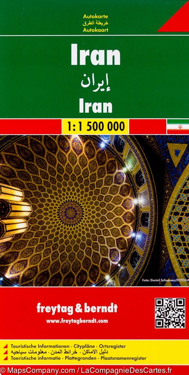
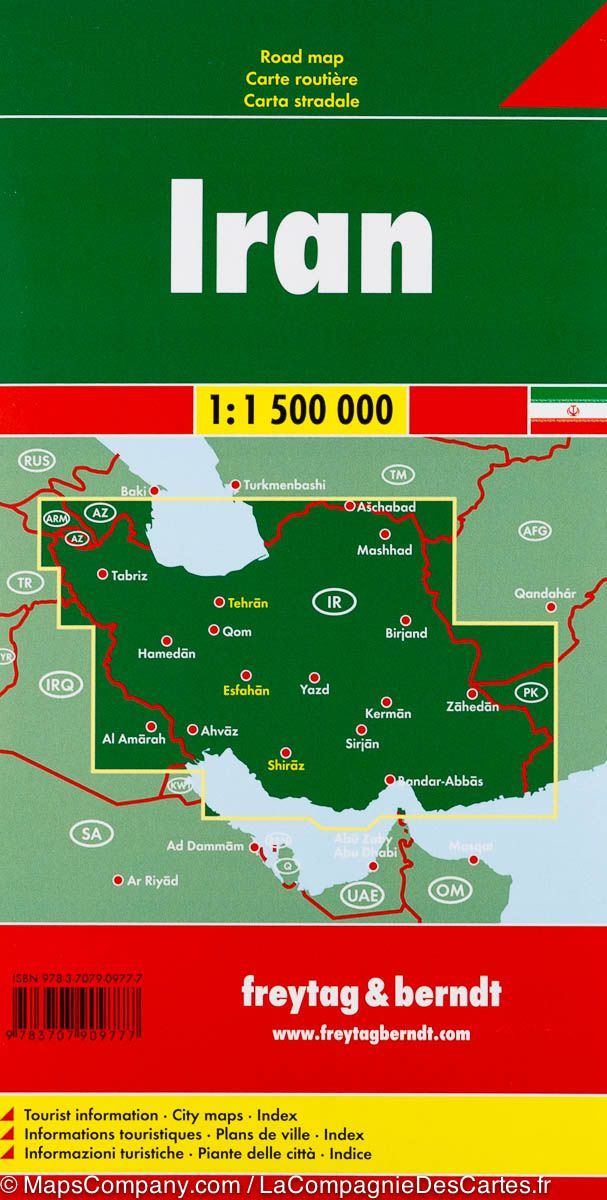
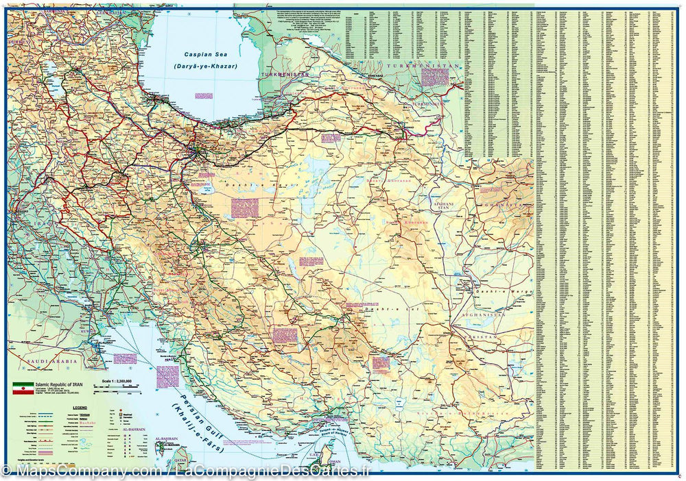
Iran map published by freytag & amp Berndt. Scale 1: 1,500,000. This detailed map includes plans from the center of the Téhran capital, Isfahan and Shiraz, with the name of the main streets and neighborhoods.

Relief mapping, indications of distances on the main roads.

Multilingual legend (French, English, German, Italian, Persian and Arabic).


ISBN/EAN : 9783707909777
Publication date: 2020
Scale: 1/1,500,000 (1cm=15km)
Printed sides: front
Folded dimensions: 26x13cm
Unfolded dimensions: 140 x 98cm
Language(s): multilingual including French
Poids : 110 g

Customer Reviews

Based on 3 reviews
33%
(1)
0%
(0)
67%
(2)
0%
(0)
0%
(0)
C
Cléry L.
La carte est beaucoup moins lisible ...

La carte est beaucoup moins lisible que les Michelin. Il manque un tableau croisé des distances entre les principales villes.

S
Silver B.B.A.N.
Ecrits peu lisibles par rapport aux ...

Ecrits peu lisibles par rapport aux couleurs des reliefs.

M
MiGo
Muy buen producto, sólido y práctic ...

Muy buen producto, sólido y práctico. La escala es perfecto, 1 cm por 15 km permite precisión y una buena visión general. Yo recomiendo.