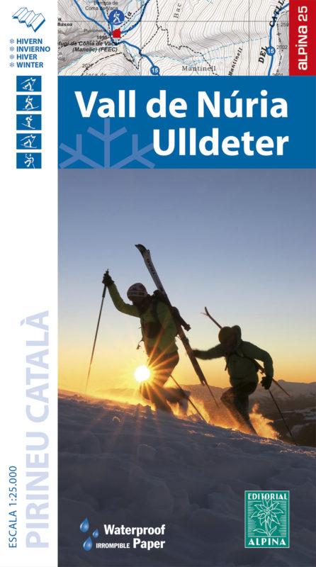
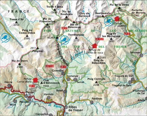
Map kit Vall de Nuria and Ulldeter published by Alpinawith useful information for hikers
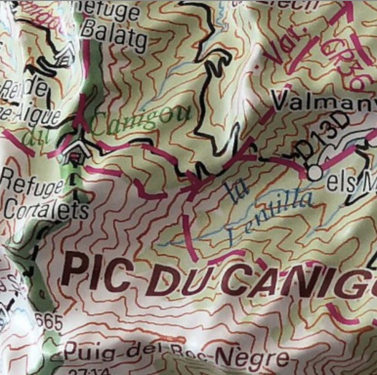
• Contour lines every 10 m
• Map with advanced shading and vegetation representation.
• Network of trails and tourist sites
• UTM coordinates
The map comes with a folder including useful hiking information (elevation, travel time, etc.).
- 18 mountain ski routes
- 9 snowshoe routes
- Refuges
This map is printed on paper waterproof.
ISBN/EAN : 9788480908535
Publication date: 2021
Scale: 1/25,000 (1cm=250m)
Printed sides: front
Folded dimensions: 21 x 12.5cm
Unfolded dimensions: 98 x 68cm
Language(s): French, English, Catalan, Castilian
Weight:
170 g


