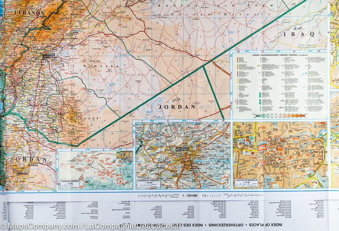
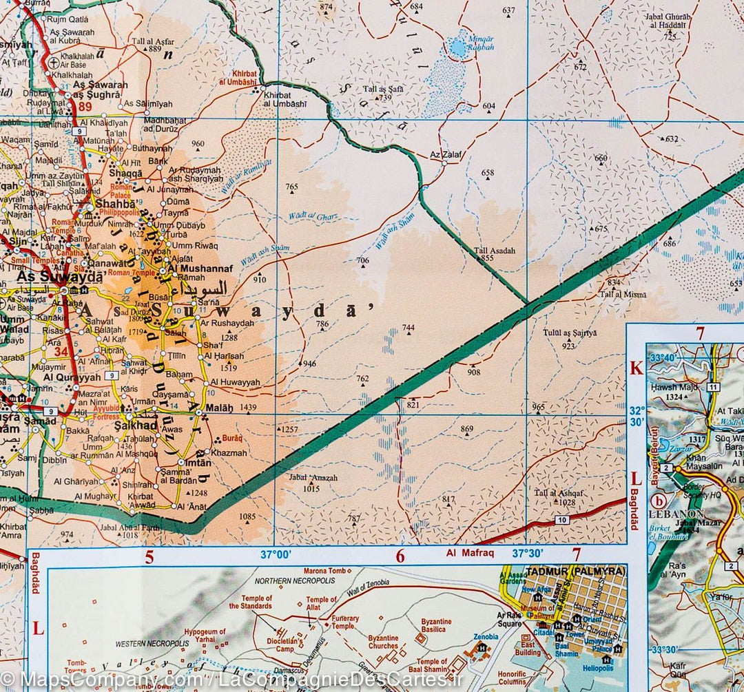
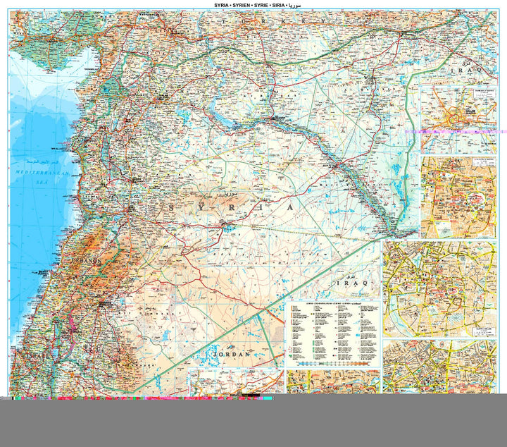
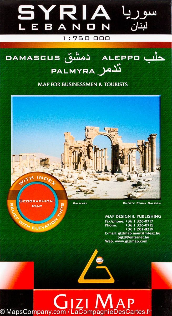
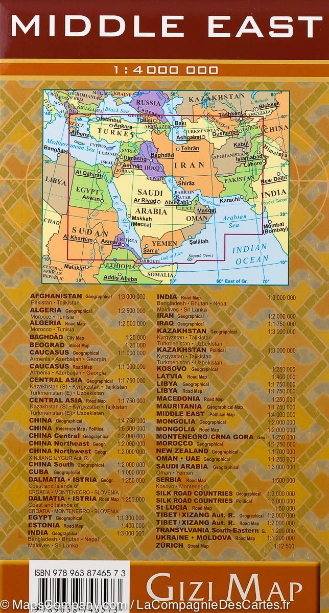
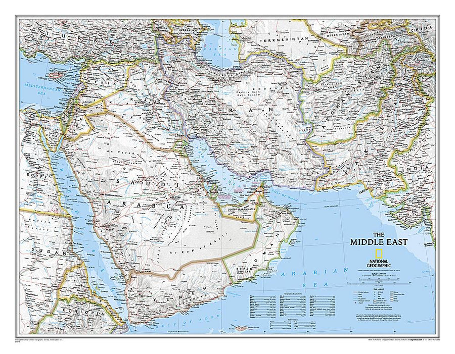
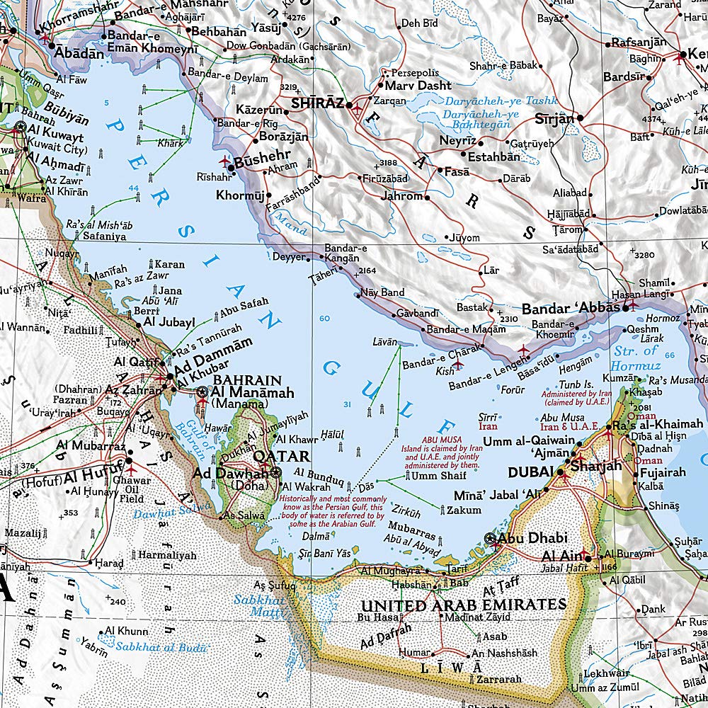
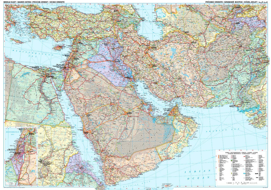
Laminated poster OF THE SYRIA AND LEBANON EDITED BY GIZI MAP.
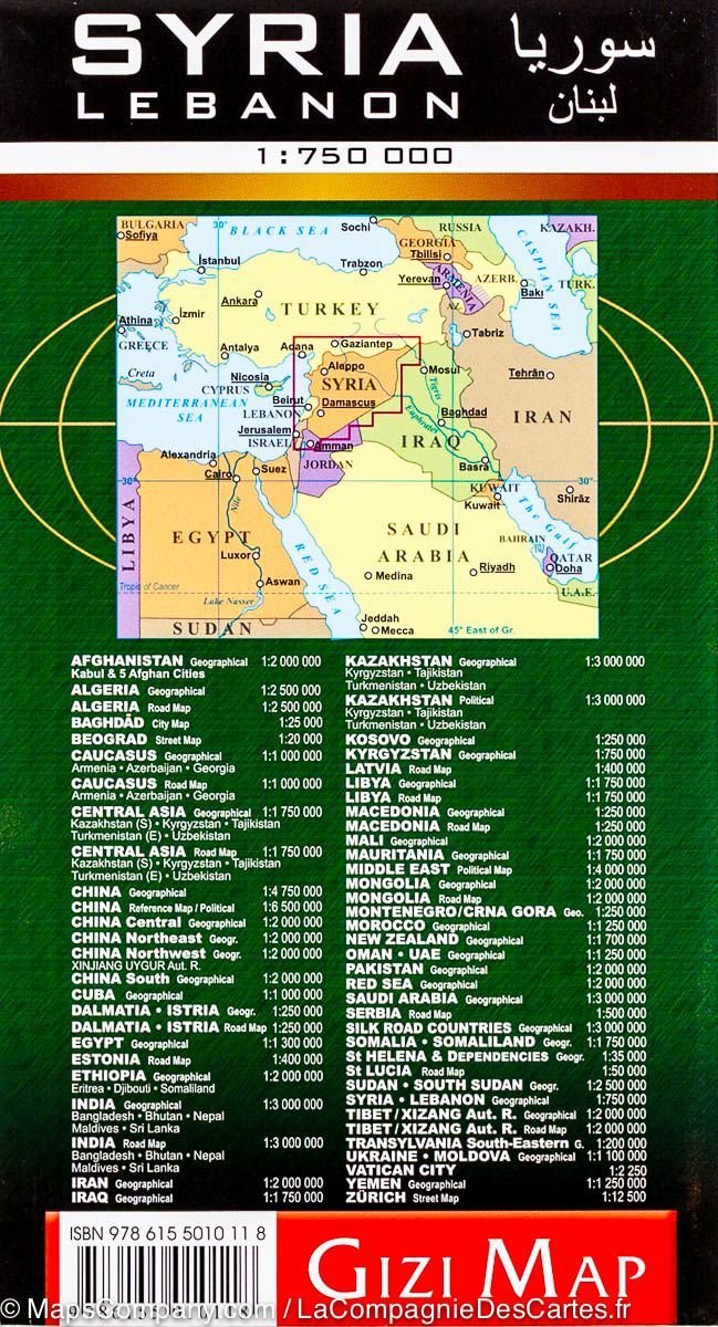
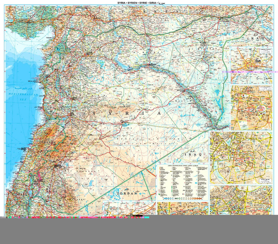
This is a version in poster laminated from the folded map of Syria and the Lebanon of the Gizi Map editor.
Note that this map is laminatedized on demand, based on the original map that is folded. The folds remain a little visible.
The map is delivered rolled in a mapboard tube.
An additional time of a few days is necessary for the manufacture of the map.
This product being made customized at the request of our customers, it can not be returned.
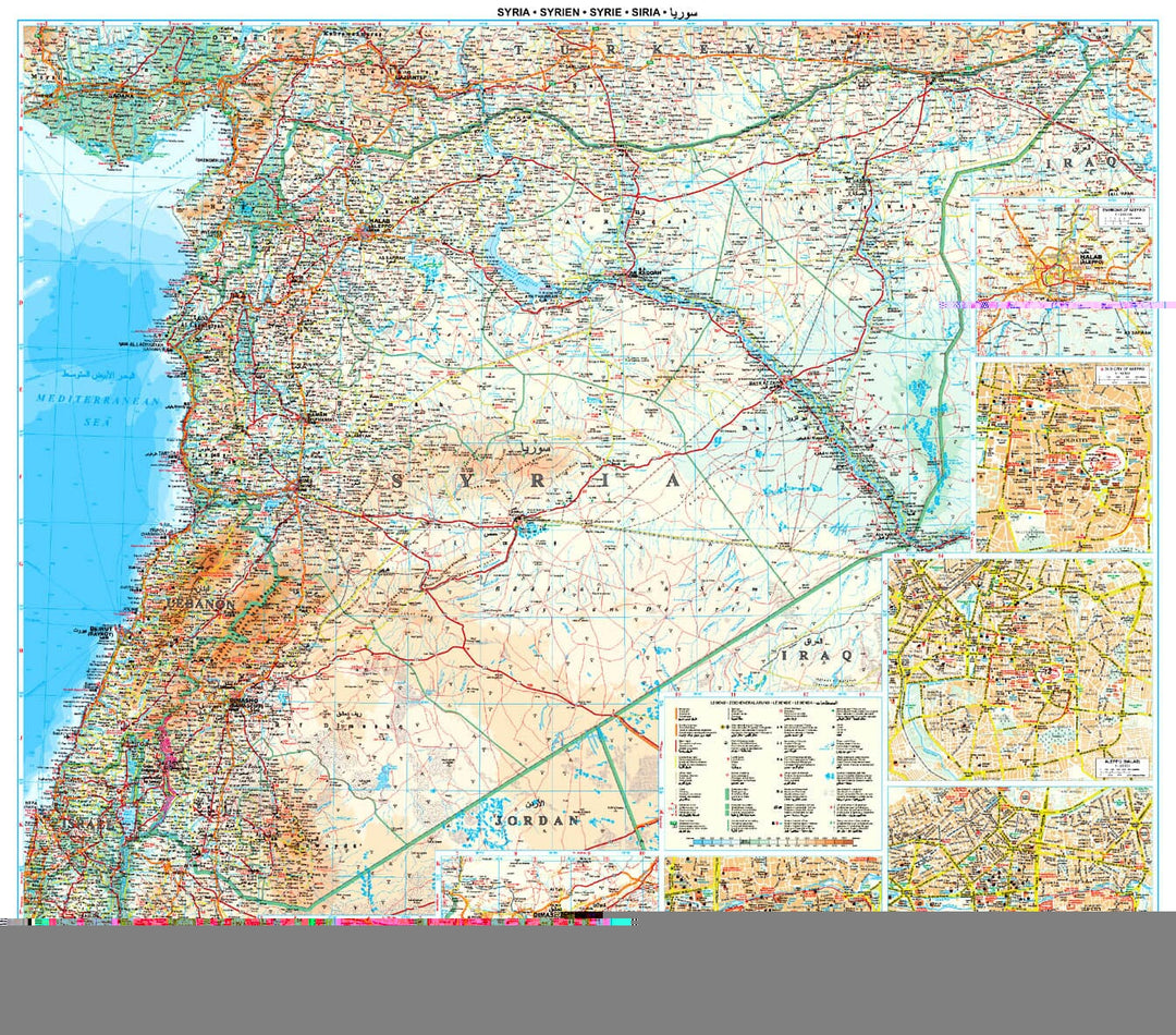
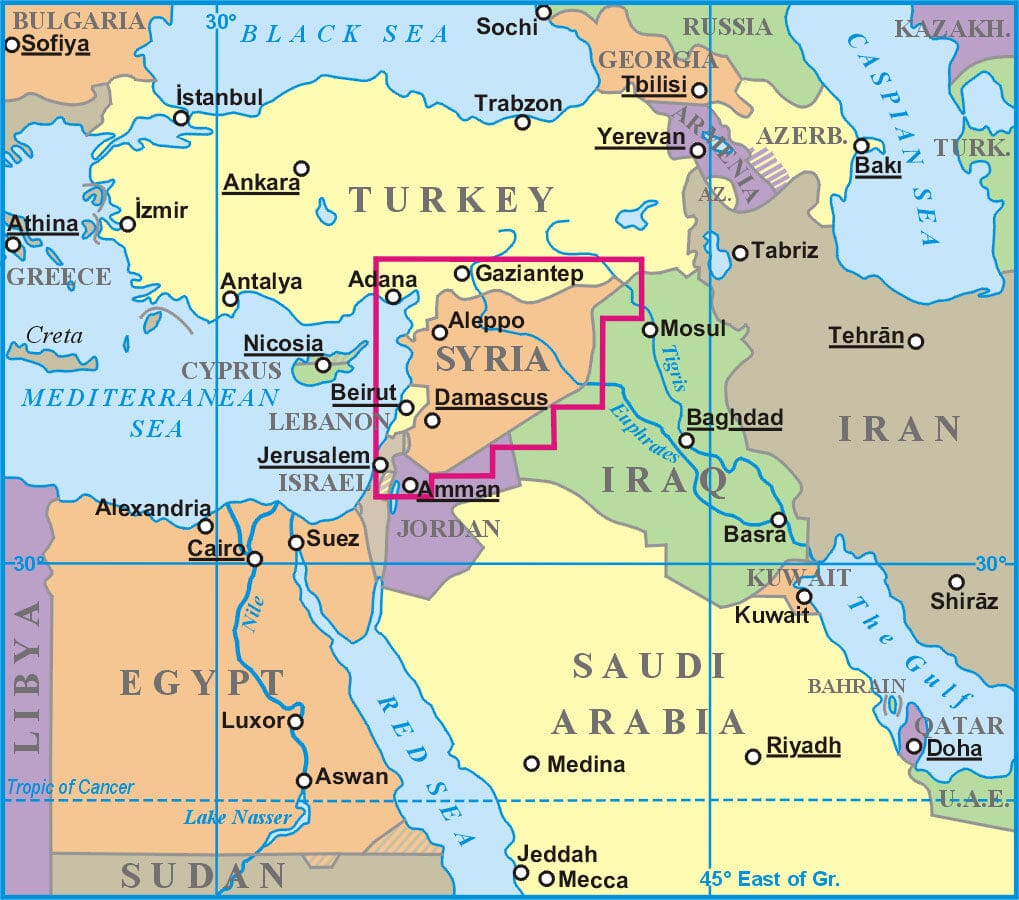
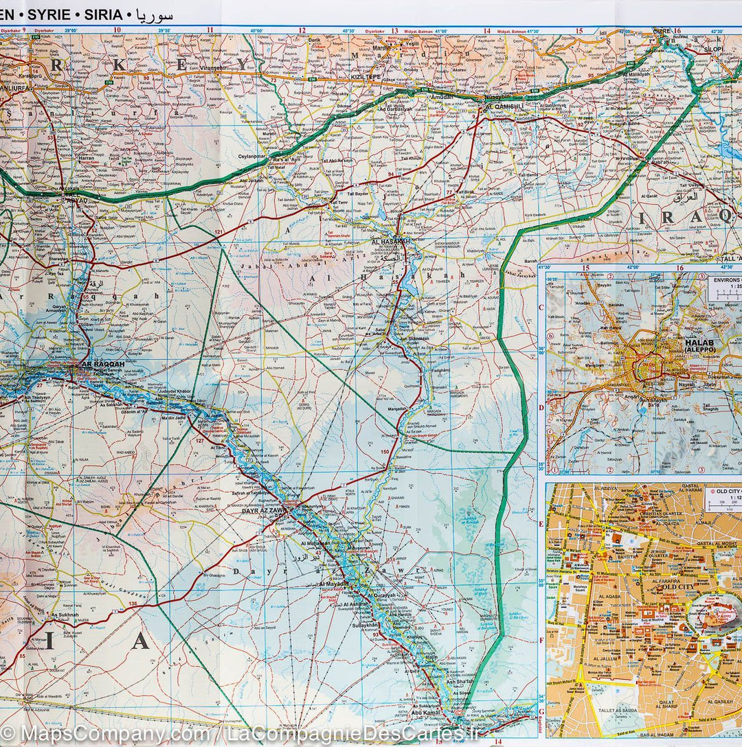
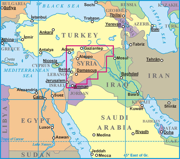
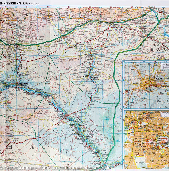
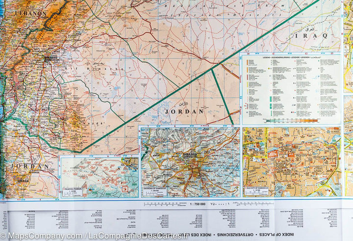
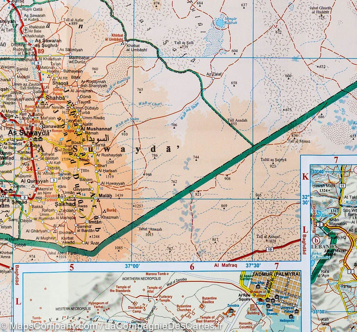
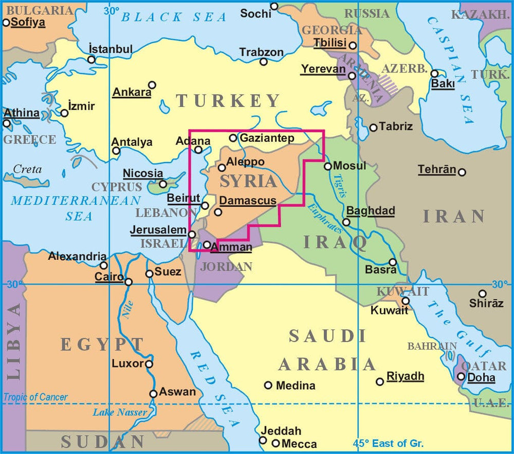
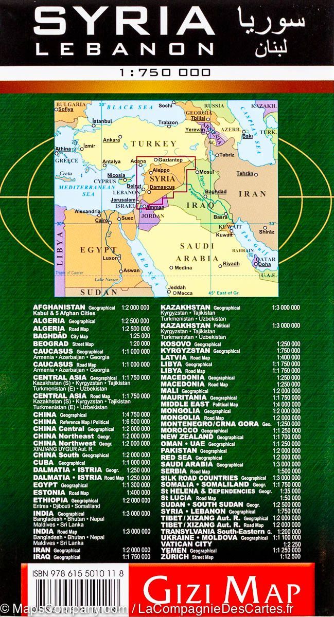
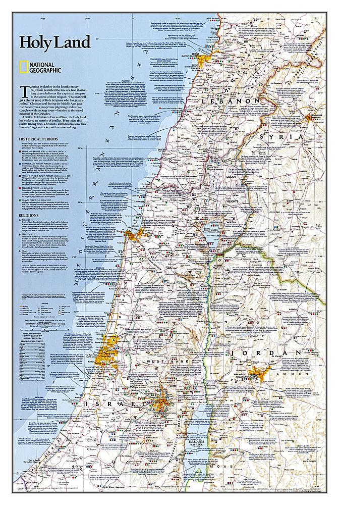
This detailed map presents topography, country road infrastructure and oil / gas pipelines. It includes inserts in the area of Damascus and Aleppo, as well as the streets of the streets of these two cities. This map also covers Lebanon and the border areas of neighboring countries (to the south of Jerusalem and Amman). The road network includes local slopes and desert roads. Railways and local airports are marked. Indication of points of interest, interesting natural sites, etc. The names of the provinces of Syria and large cities are also presented in the Arabic alphabet. Index of cities on the back. Multilingual legend including English and Arabic.
ISBN / EAN : 9786155010118P
Date de publication : 2023
Echelle : 1/750,000 (1cm=7.5km
Impression: front
Dimensions déplié(e) : 100 x 87cm
Langue : multilingual (including French)
Poids :
280 g


