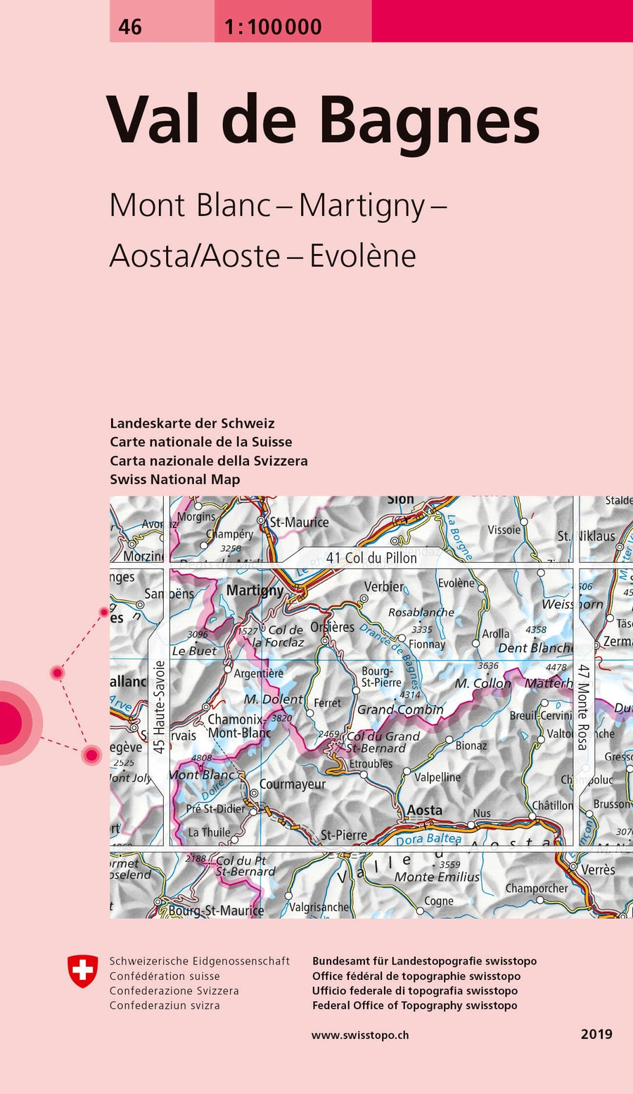
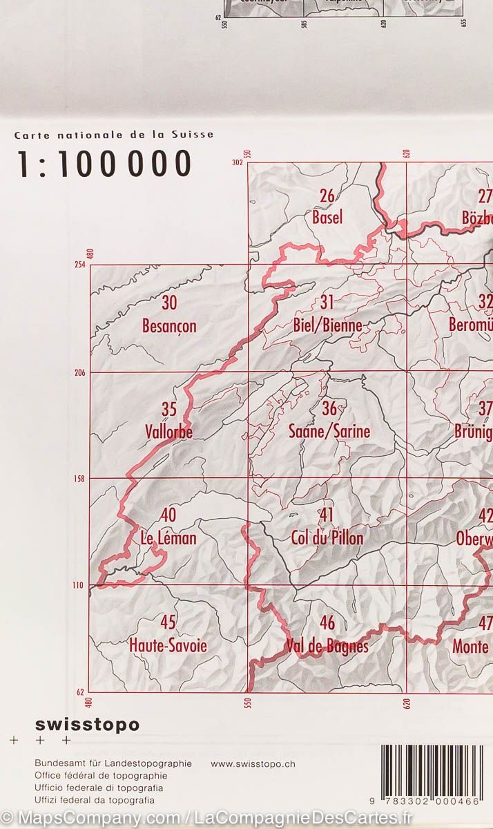
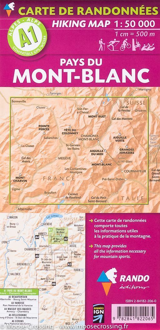
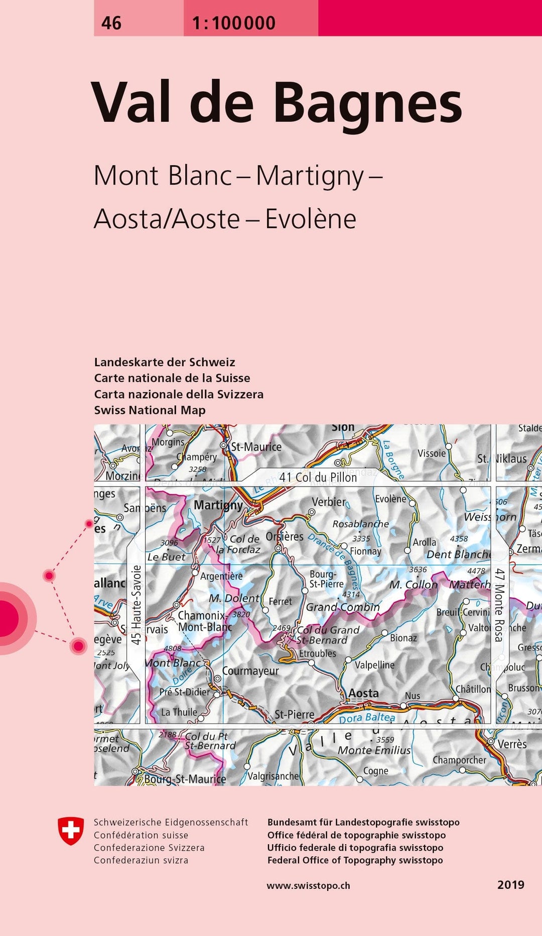
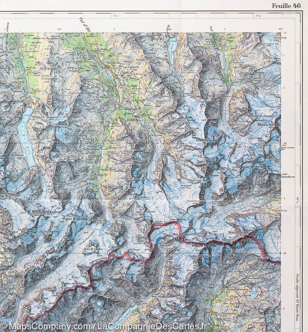
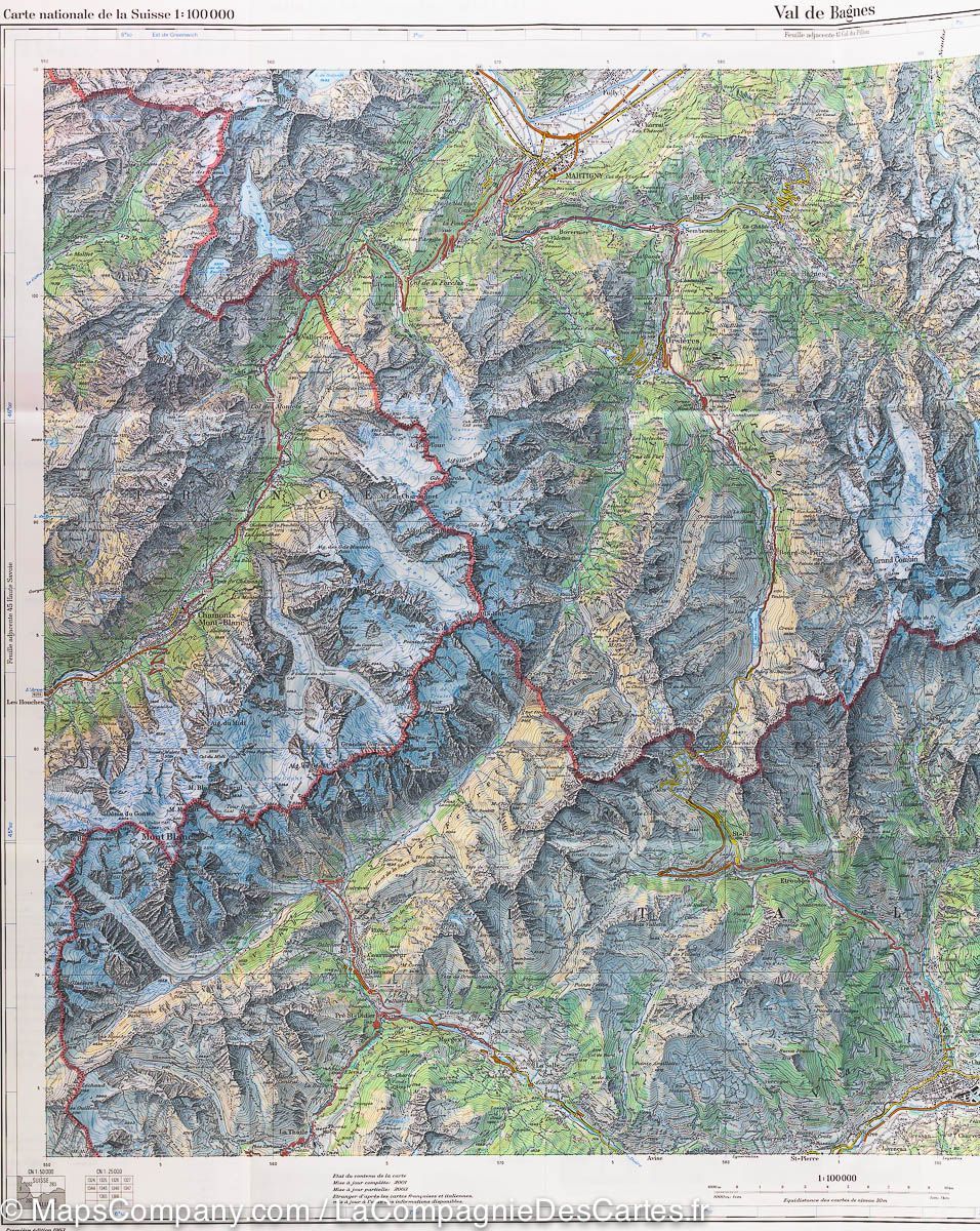
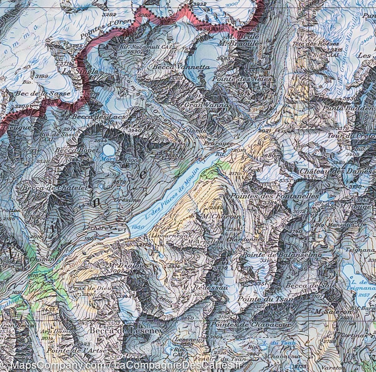
Carte topographique n° 46 - Val de Bagnes (Suisse) | Swisstopo - 1/100 000 carte pliée Swisstopo
Carte de la région du Val de Bagnes (France, Suisse, Italie) | Swisstopoo - La Compagnie des Cartes

Topographic Map # 46 - Val de Bagnes (Switzerland) | Swisstopo - 1/100 000

Topographic Map # 46 - Val de Bagnes (Switzerland) | Swisstopo - 1/100 000

Regular price $17.00
/
  • Shipping within 24 working hours from our warehouse in France
  • Delivery costs calculated instantly in the basket
  • Free returns (*)
  • Real-time inventory
  • Low stock - 1 item left
  • Backordered, shipping soon
Tax included.
Topographic Map of the region of Val de Bagnes published by Swisstopo. This hiking map extends from Chamonix to the west in Châtillon in the east and Martigny north in Aosta south with the Mont Blanc area, and the Verbier. Level curves and mountain information included.


ISBN/EAN : 9783302000466
Publication date: 2019
Scale: 1/100,000 (1cm=1km)
Printed sides: front
Folded dimensions: 13 x 19cm
Unfolded dimensions: 78 x 56cm
Language(s): multilingual including French
Poids : 44 g

Customer Reviews

No reviews yet
0%
(0)
0%
(0)
0%
(0)
0%
(0)
0%
(0)