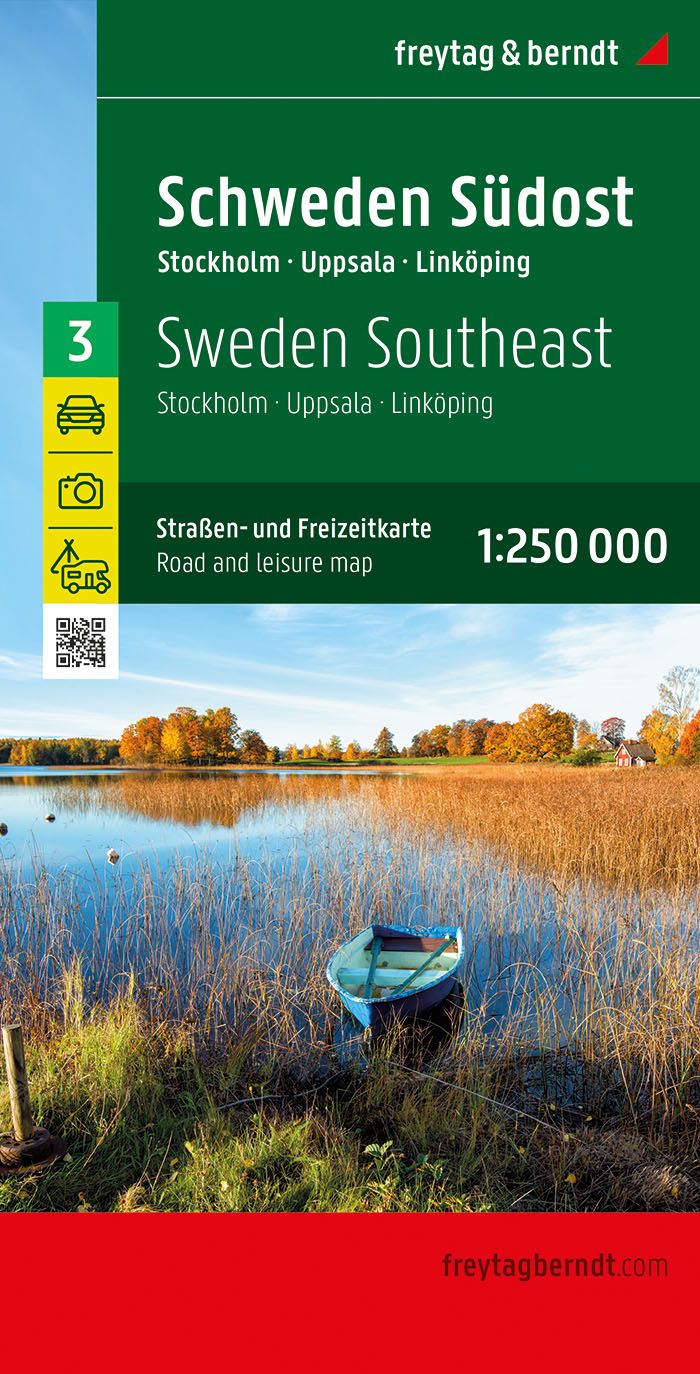
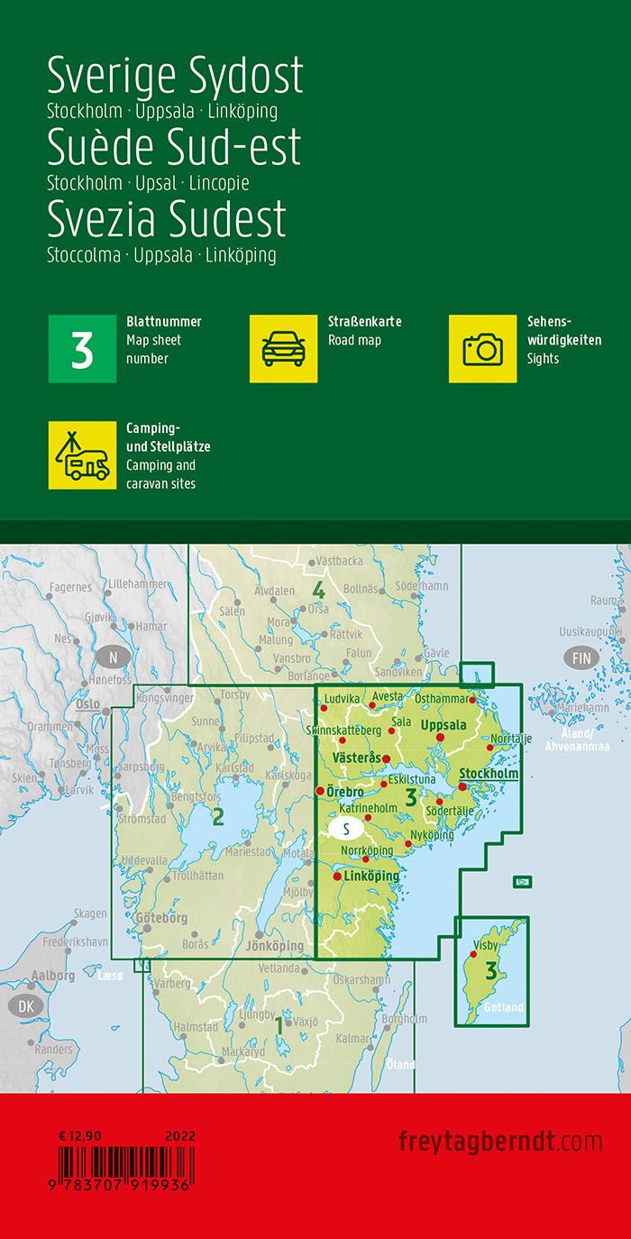
South-east Road map of Sweden published by Freytag & Berndt. This detailed map of Sweden ranges from Avesta (north) to Vimmerby (south) and Örebro (west) in Stockholm (east) and covers the regions of Stockholm, Uppsala and Norrköpin. This map also includes Gotland Island in Baltic Sea. Mapping the relief, indication of maritime links, curiosities and campsites.
English, French, German and Italian multilingual legend.
Series of Regional Maps of Sweden:
Map No. 1 – Southern Sweden
Map No. 2 – Southwestern Sweden
Map No. 3 – Southeastern Sweden
Map No. 4 – Central Sweden
Map No. 5 – Northern Sweden
Map No. 6 – Swedish Lapland
And the general map of Sweden by the same publisher.
ISBN/EAN : 9783707919936
Publication date: 2022
Scale: 1/250,000 (1cm=2.5km)
Printed sides: front
Folded dimensions: 25.6 x 13 x 1cm
Unfolded dimensions: 125x100cm
Language(s): multilingual including French
Weight:
176 g


