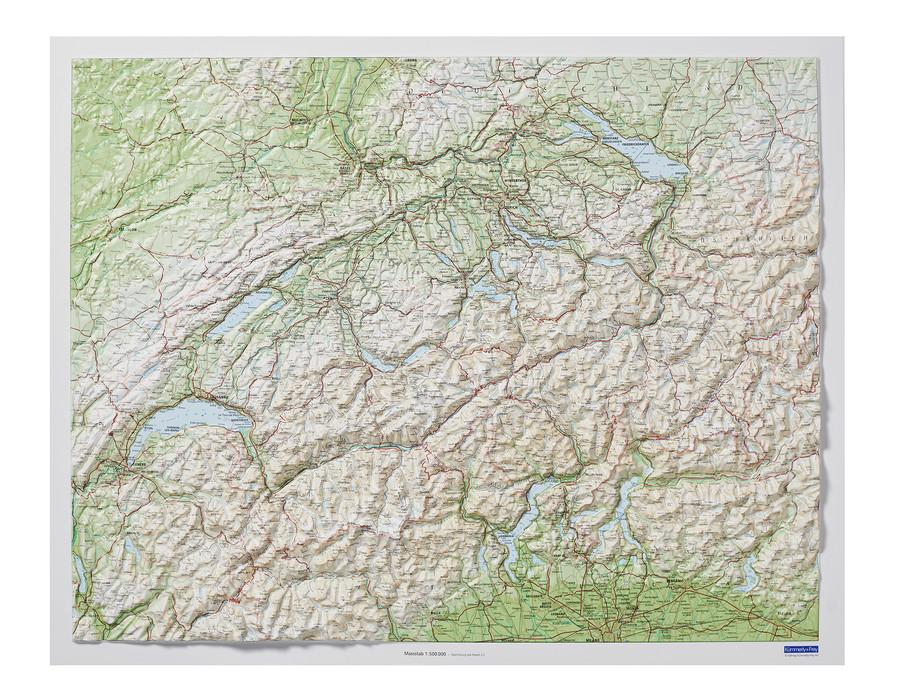
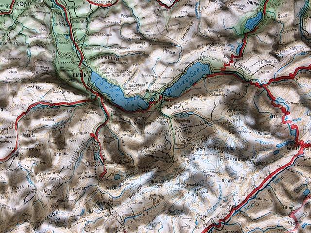
Switzerlans Relief Wall map edited by Kümmerly & amp Frey.
Between the lowest point (Lake Maggiore, 195 m) and the culmination (Pointe Dufour, 4634 m) extends an infinity of reliefs. This clearly appears when the level curves are represented in relief. Enhancement of the mountains, lakes and valleys.
Dimensions: 82 x 68 cm.
Material: laminated.
ISBN / EAN : 9783259010204
Date de publication : 2023
Echelle : 1/500,000 (1cm=5km)
Dimensions déplié(e) : 82 x 68cm
Langue : German, Italian, French
Poids :
300 g


