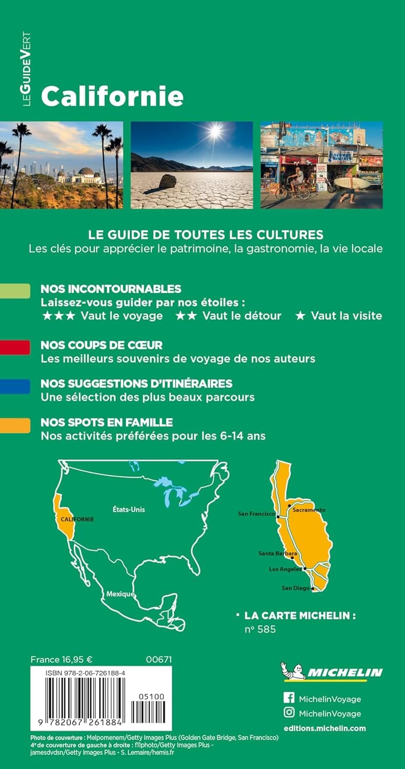
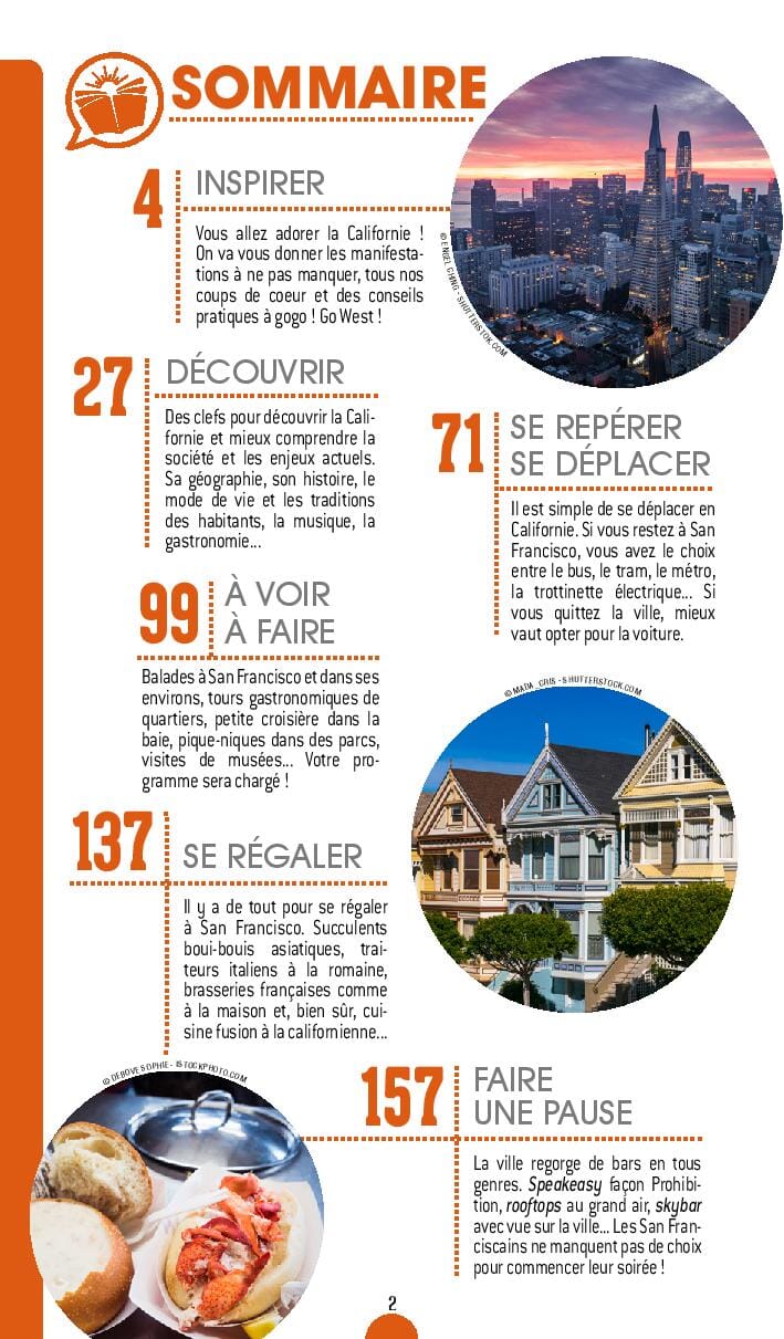
Southern California Map (USA) published by National Geographic. This map extends from San Diego north of San Francisco and includes plans of the agglomeration of Los Angeles (with a street map of the city center of Los Angeles), from the San Diego area with a street plan. Downtown San Diego, Palm Springs, Santa Barbara, Monterey Bay, Fresno, Bakersfield and Oxnard - Ventura.
Monterey Route 1 Map in Morro Bay also included. Points of interest, tourist roads.
This map is waterproof and resistant to tearing.
ISBN/EAN : 9781597750158
Publication date: 2022
Scale: 1/2,000,000 (1cm=20km)
Printed sides: both sides
Folded dimensions: 22.2 x 10.8cm
Unfolded dimensions: 53 x 46cm
Language(s): English
Weight:
43 g


