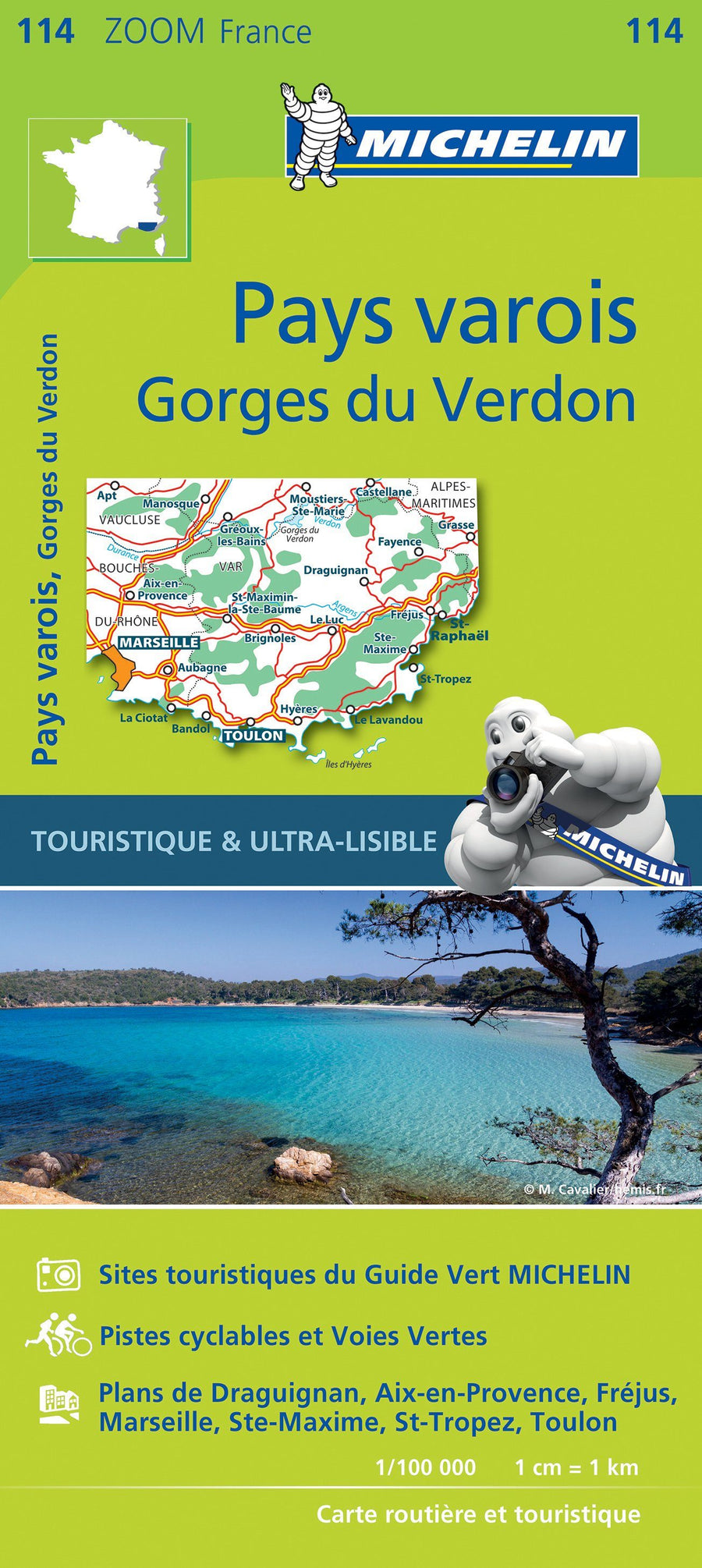
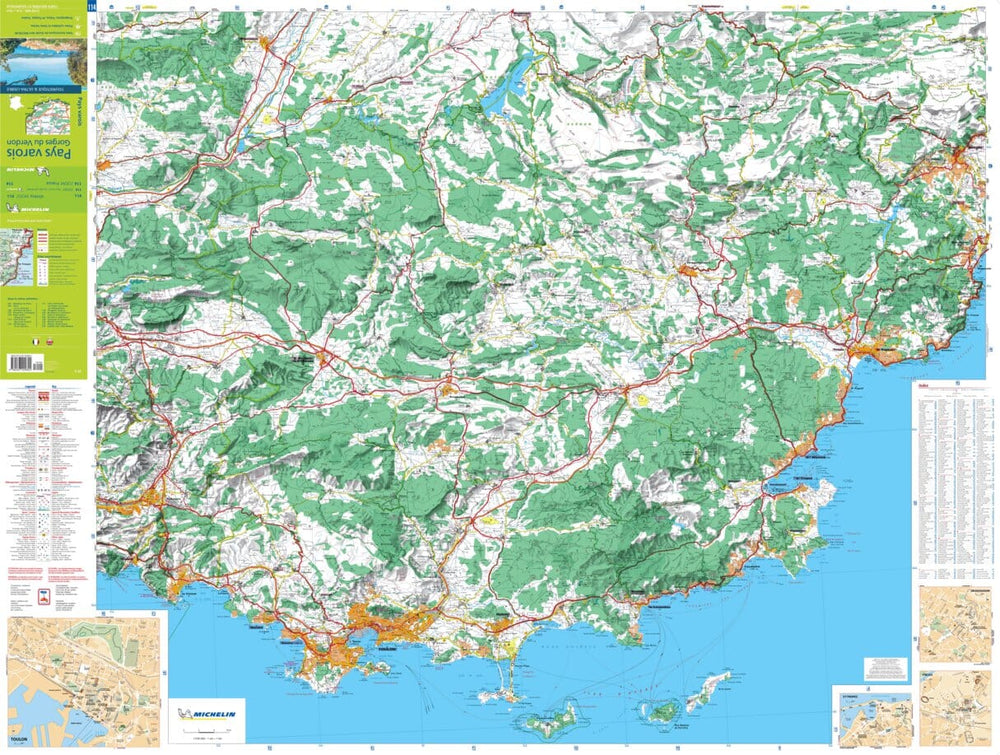
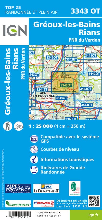
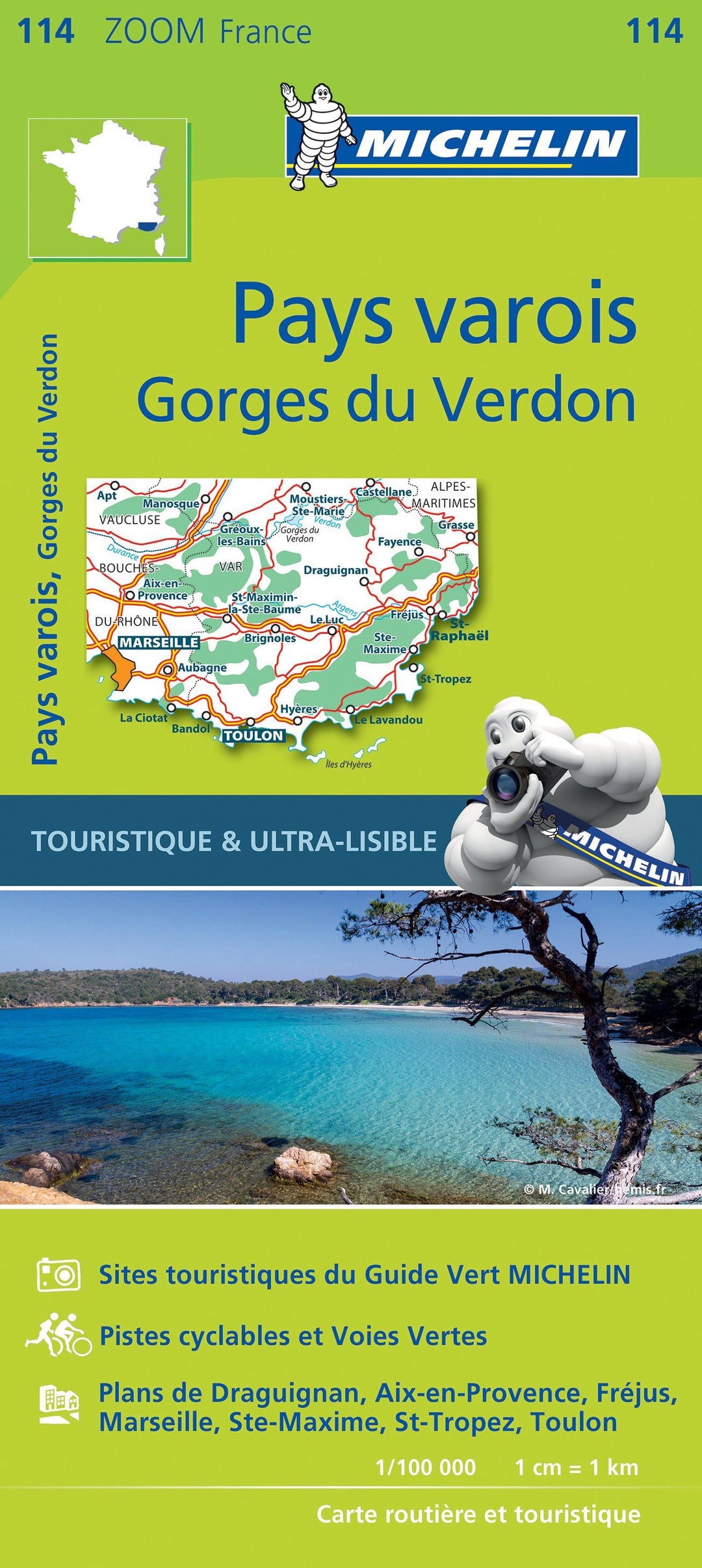
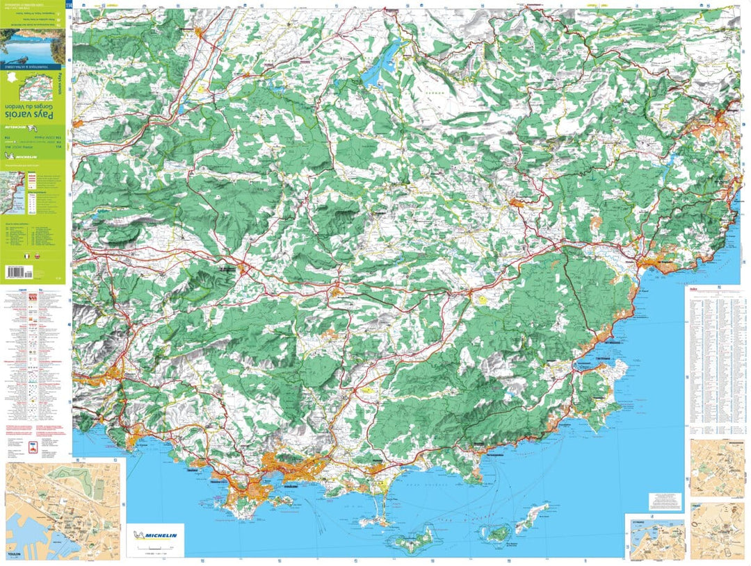
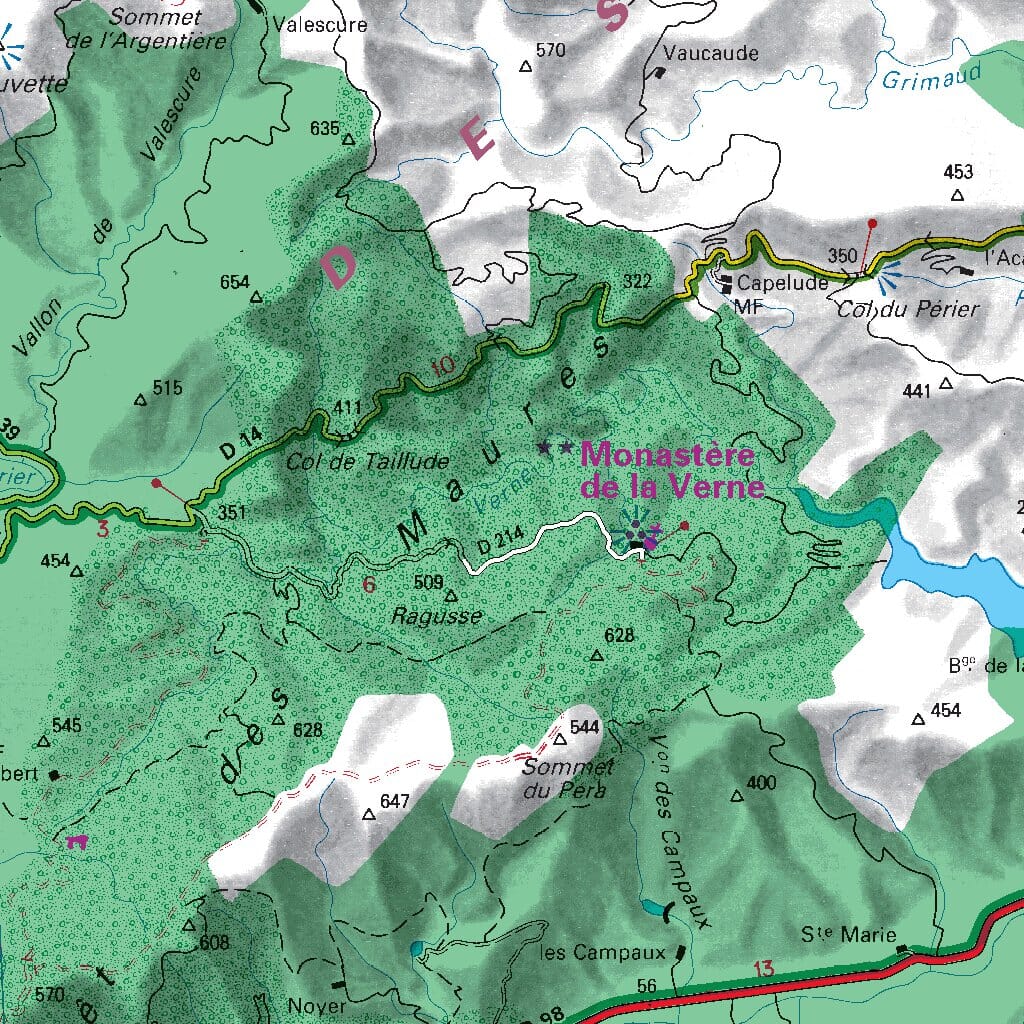
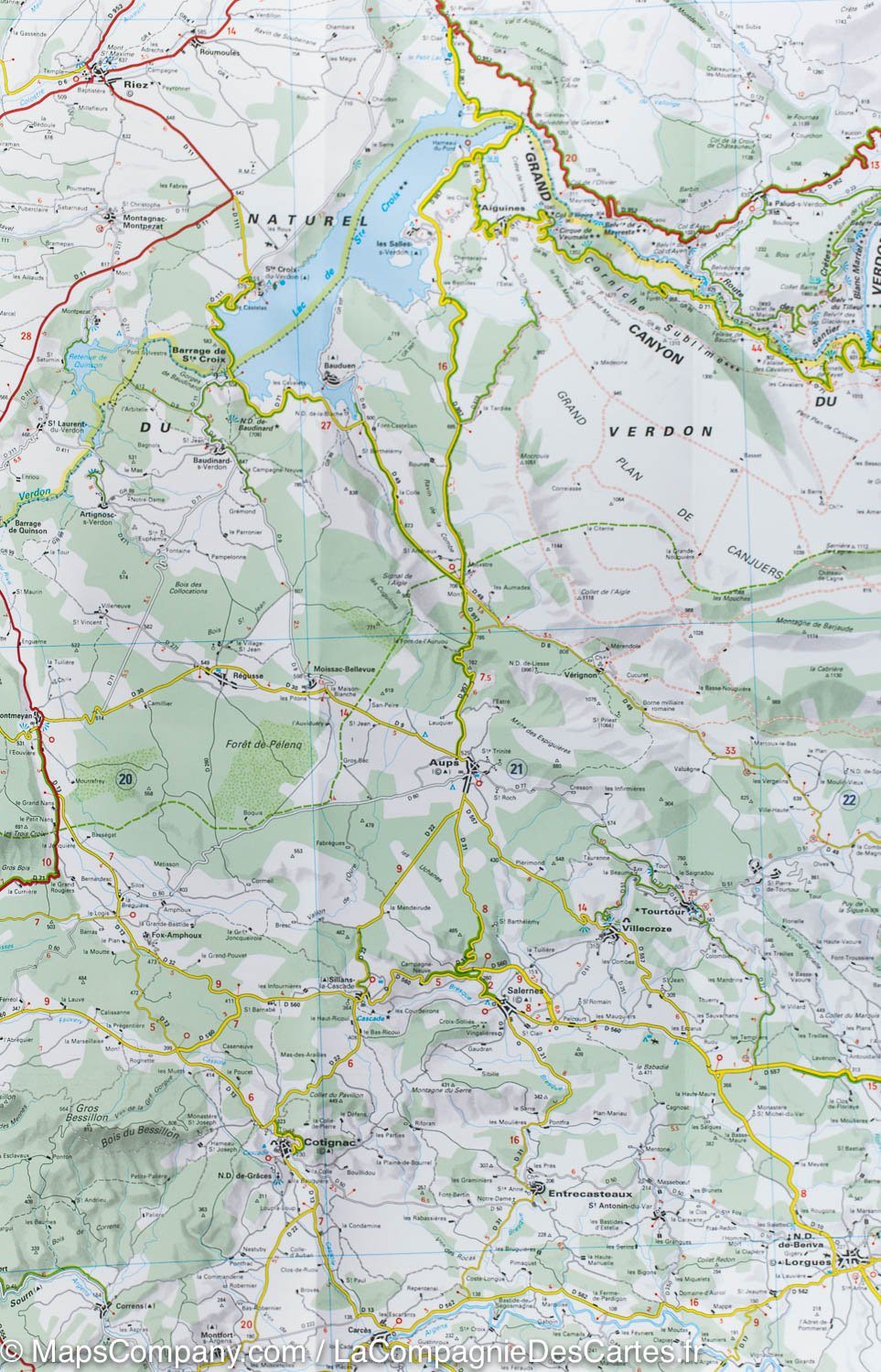
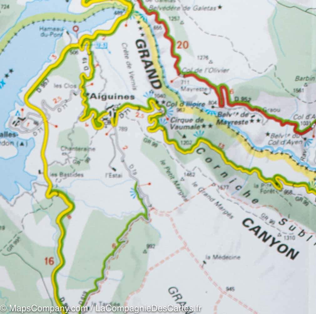
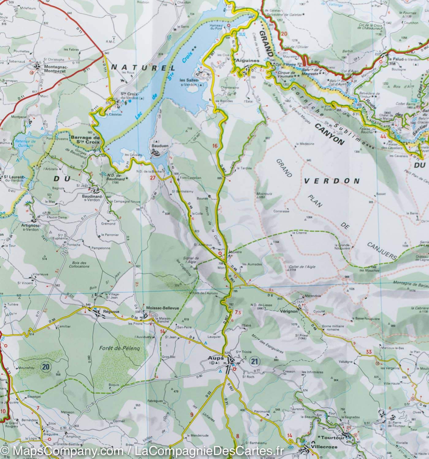
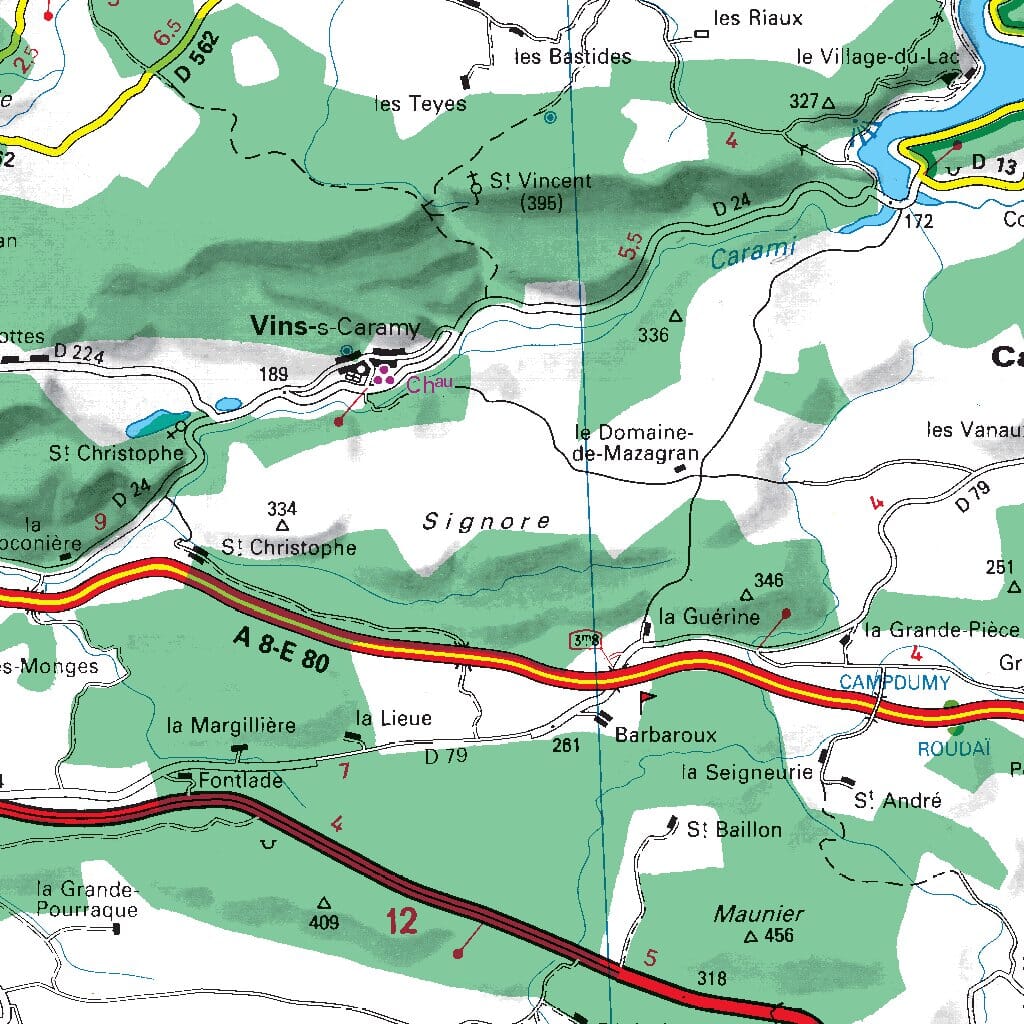
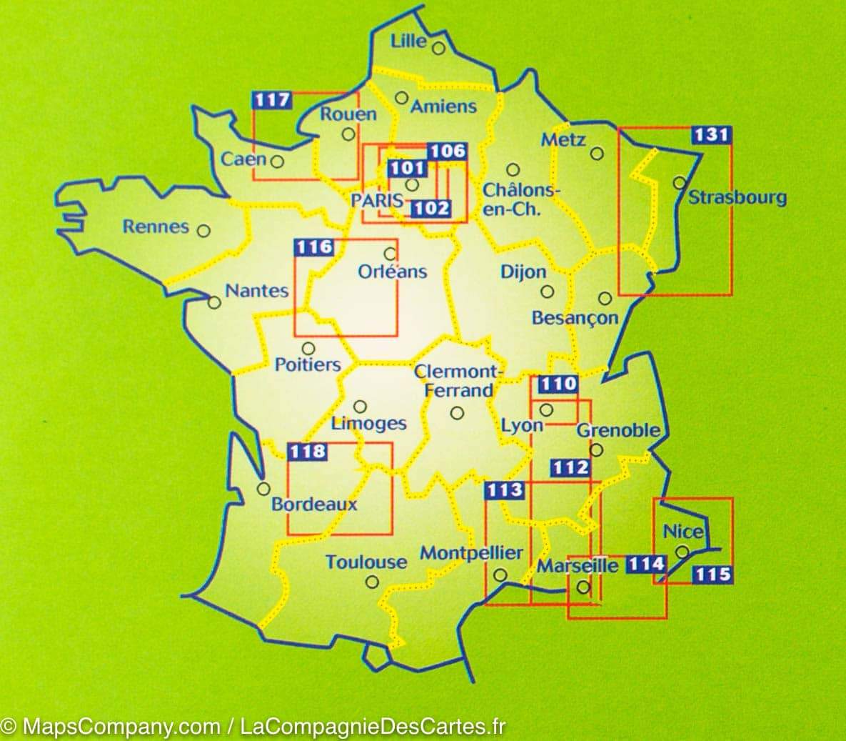
Carte routière n° 114 - Pays Varois & Gorges du Verdon | Michelin carte pliée Michelin
Carte routière n° 114 - Pays Varois & Gorges du Verdon | Michelin - Zoom France carte pliée Michelin
Carte routière n° 114 - Pays Varois & Gorges du Verdon | Michelin carte pliée Michelin
Carte routière n° 114 - Pays Varois & Gorges du Verdon | Michelin - Zoom France carte pliée Michelin
Carte routière n° 114 - Pays Varois & Gorges du Verdon | Michelin carte pliée Michelin

Road Map # 114 - Var Country & Gorges du Verdon | Michelin - Zoom France

Road Map # 114 - Var Country & Gorges du Verdon | Michelin - Zoom France

Regular price $10.00
/
  • Shipping within 24 working hours from our warehouse in France
  • Delivery costs calculated instantly in the basket
  • Free returns (*)
  • Real-time inventory
  • In stock, ready to ship
  • Backordered, shipping soon
Tax included.

Michelin map of the Var country and Gorges du Verdon. This detailed map extends from Manosque to Toulon (from north to south) and Aix-en-Provence to Saint Raphael (West in East). Distances shown on the map.

in inset, plans of Draguignan Aix-en-Provence, Frejus, Marseille, St-Tropez, Toulon, Ste-Maxime.

Indication of tourist sites, bike paths and greenways. Scale 1/100 000 (1 cm = 1 km).


ISBN/EAN : 9782067209824
Publication date: 2017
Scale: 1/100,000 (1cm=1km)
Printed sides: front
Folded dimensions: 11 x 25cm
Unfolded dimensions: 154 x 100cm
Language(s): French
Poids : 89 g

Customer Reviews

No reviews yet
0%
(0)
0%
(0)
0%
(0)
0%
(0)
0%
(0)