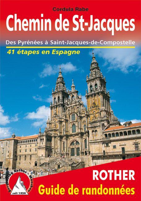
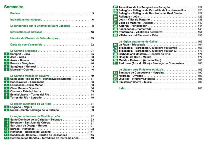
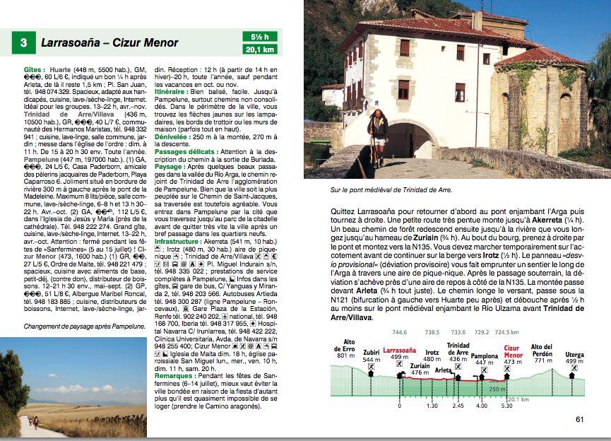
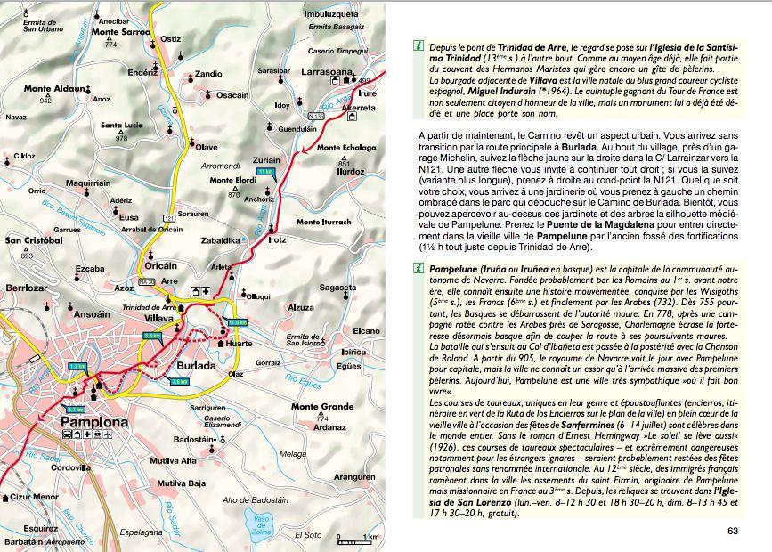
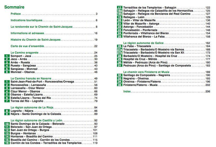
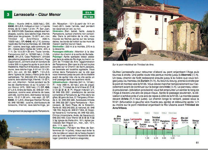
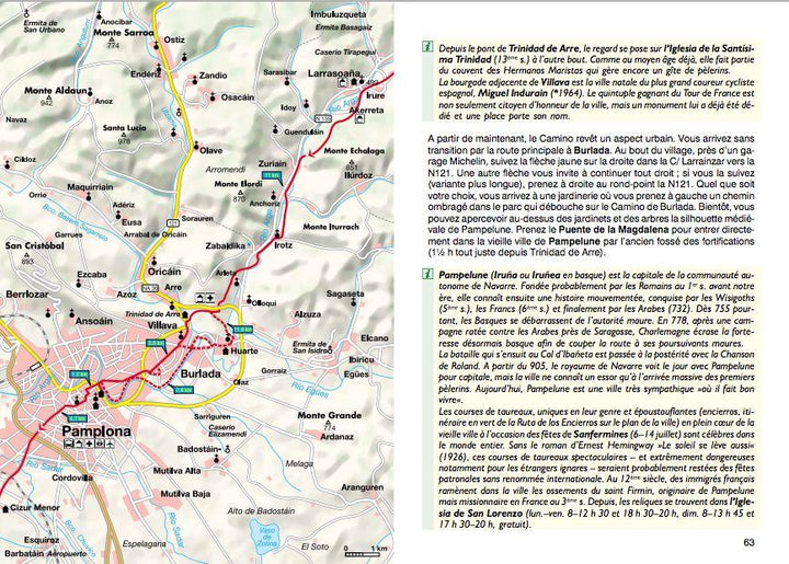
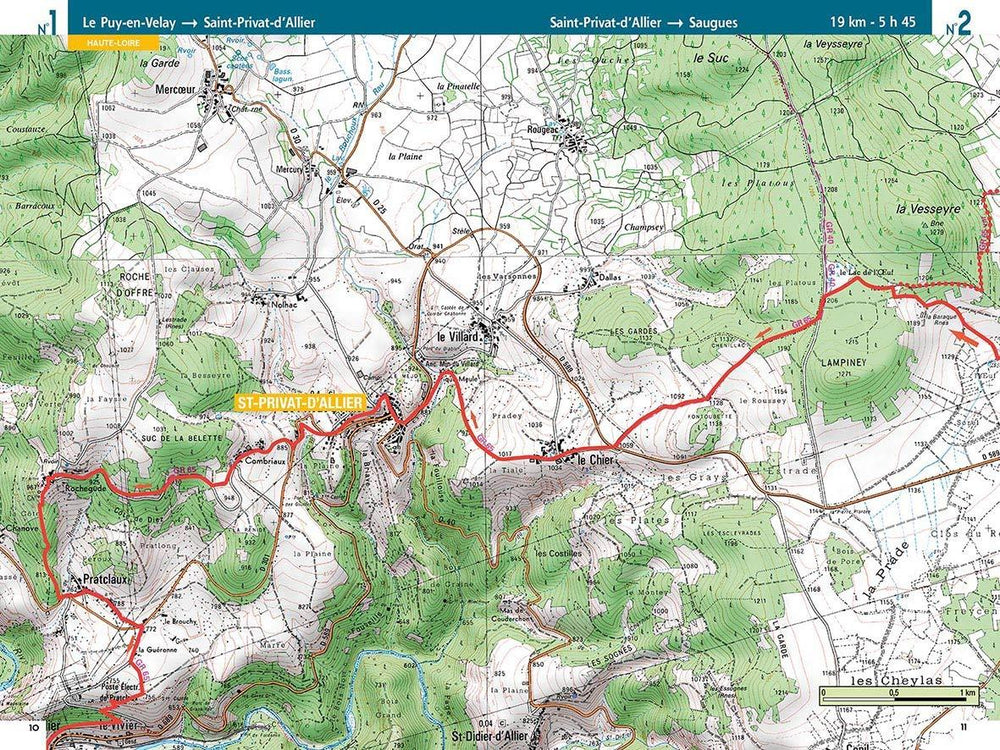
Summary and Example - Type in Photo. 256 pages, 129 color photos, 48 maps 1: 100.000, 6 city shots, 2 synoptic maps and altitude profiles for all stages.
GPS coordinates are downloadable for All routes on the publisher website (rother).
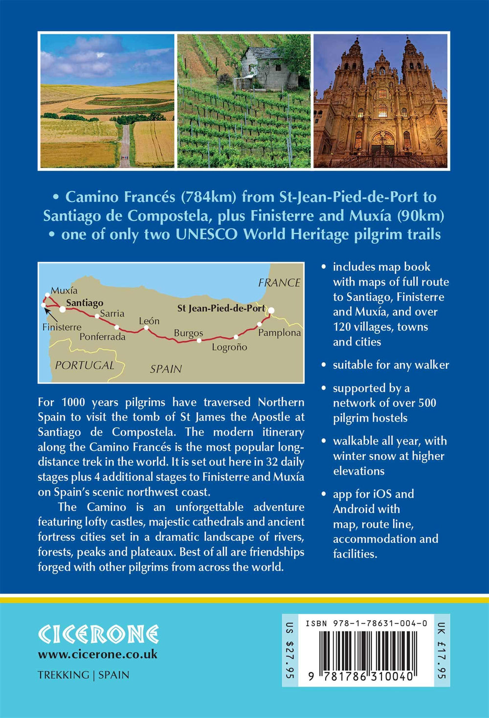
With a story more than millennium, the path of Saint - Jacques in Spain ranks among the great classic hikes. This route rich in history of almost 1000 km between the Pyrenees and Saint - Jacques - de - Compostela attracts pilgrims from origins, confessions and very different generations. The Rother "Chemin de Saint Jacques in Spain" Hiking guide describes in 42 steps the entire journey from Saint - Jean - Pied - de - Port, or the Pass du Somport, and up to Saint - Jacques - de - Compostela, but also other accessories routes going even to Finisterre or Muxía.
The path of Saint - Jacques is a natural and cultural experience. This guide reports historical sights and beautiful landscapes as well as regional peculiarities, local festivals and culinary specialties. Not to mention a host of tips on the organization of hikes and takeaway equipment. The many photos inside reveal the so much cultural and natural wealth of Saint - Jacques.
It offers detailed maps indicating the distances between the cottages, accurate descriptions of Each step and clear profiles. The cottages of pilgrims are presented in detail and classified. Many information about infrastructure (such as medical care, businesses or banks) facilitate the individual planisphere of stages even if they are different from those selected in the guide. GPS traces can also be downloaded.
ISBN/EAN : 9783763349296
Publication date: 2019
Pagination: 256 pages
Folded dimensions: 12 x 17cm
Language(s): French
Weight:
225 g


