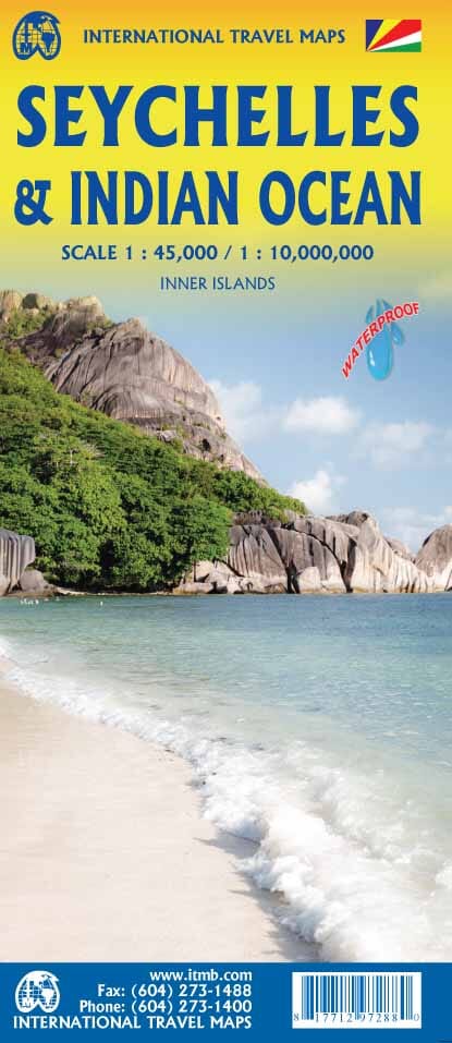
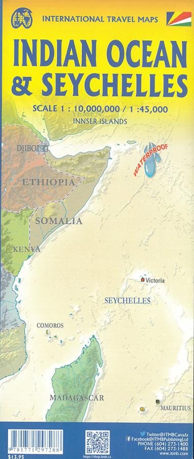
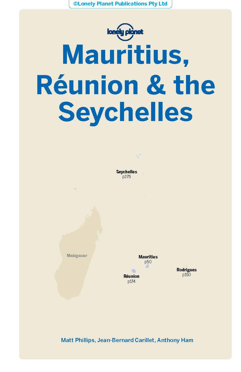
Waterproof road map of the Seychelles, including points of interest and index.
The back covers the Indian Ocean like a nautical chart, with underwater relief depicted and countries politically represented in different colors.
The key includes: Roads by classification, rivers and lakes, national parks, airports, points of interest, mining, highways, major roads, zoos, fishing, etc.
ISBN/EAN : 9781771297288
Publication date: 2022
Scale: 1/340,000 (1 cm = 3.4 km) & 1/740,000
Printed sides: both sides
Folded dimensions: 24.6 x 10.3 x 0.5cm
Unfolded dimensions: 100 x 69cm
Language(s): English
Weight:
74 g


