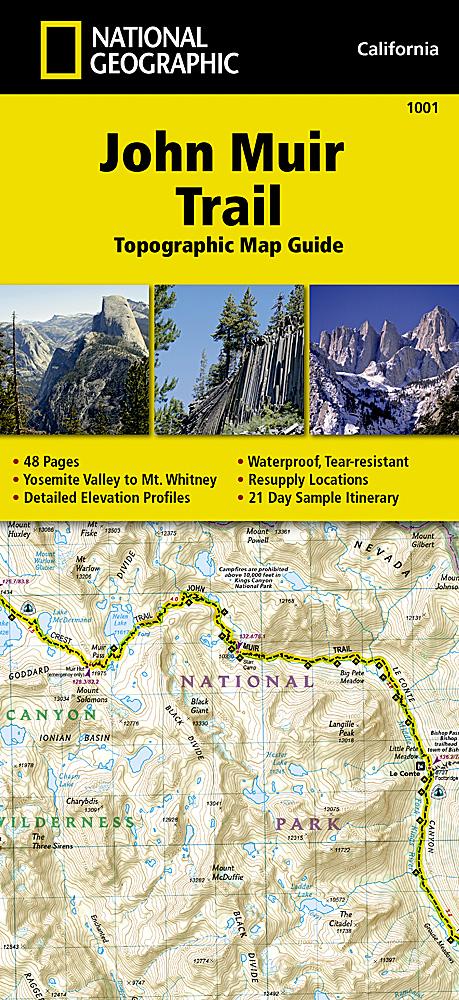
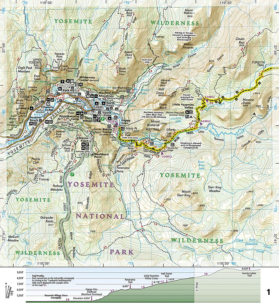
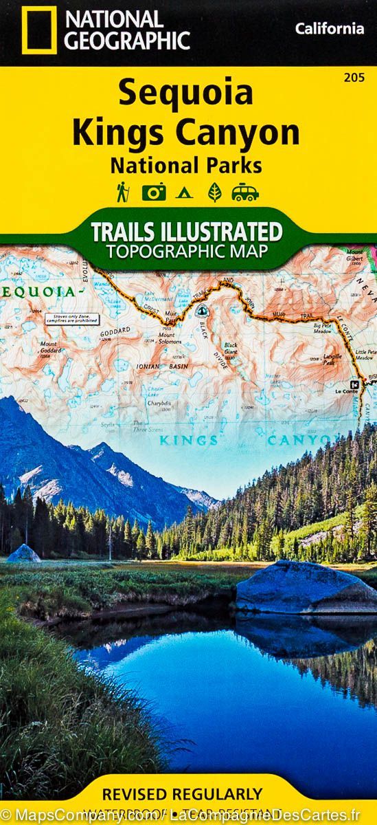
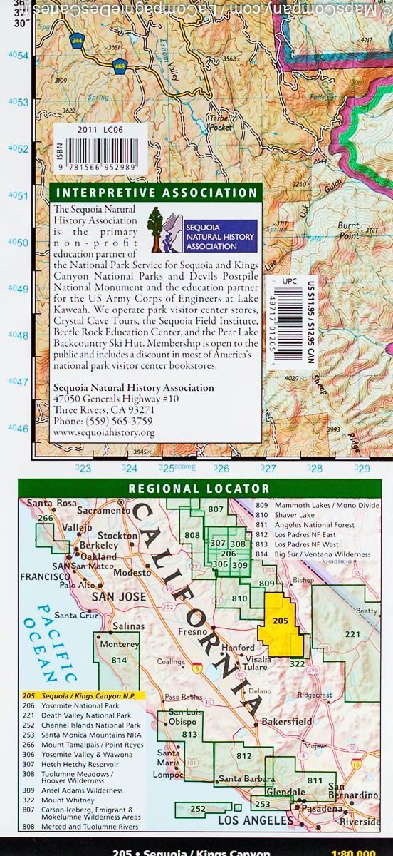
This map is an indispensable tool for navigating one of the most famous trails in the United States. This product provides detailed topographic maps, information on security in the wild and the main points of interest you will encounter along the trail. A replenishment location table shows the delivery address / contact information, distances and services available at each replenishment point. Each map page shows the altitude changes you will encounter.
The maps start north in the Yosemite Valley and progress along the ridge of Sierra Nevada, after Postpile Devils, and end at the top of Mount Whitney.
This path passes through the Yosemite National Park, the Ansel Adams Nature Reserve, the National Devils Postpile Monument, the John Mur Wilderness Park, Kings Canyon National Park, and finally the Sequoia National Park and Mount Whitney . An example of 21 days itinerary is also included.
Detailed waterproof and tearing resistant.
Scale 1/63 360 (1 cm = 633 m). 48 pages
ISBN/EAN : 9781566956895
Publication date: 2024
Scale: 1/63360 (1cm=633m)
Printed sides: both sides
Folded dimensions: 23.5 x 10.9 x 0.5cm
Language(s): English
Weight:
89 g


