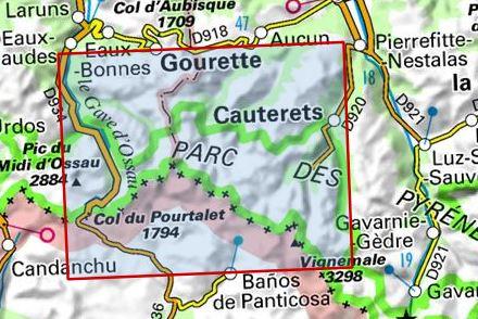
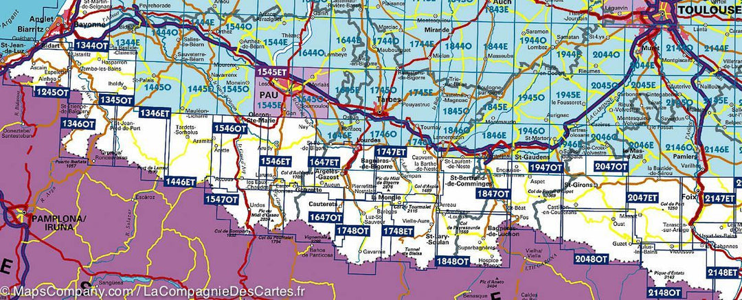
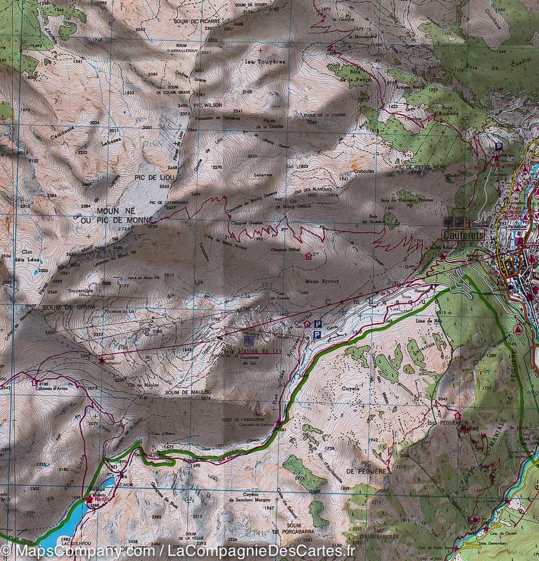
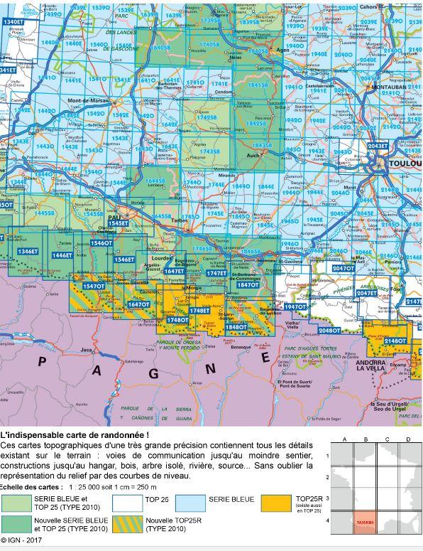
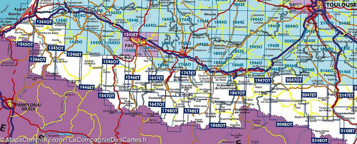
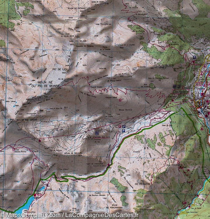
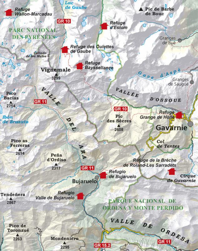
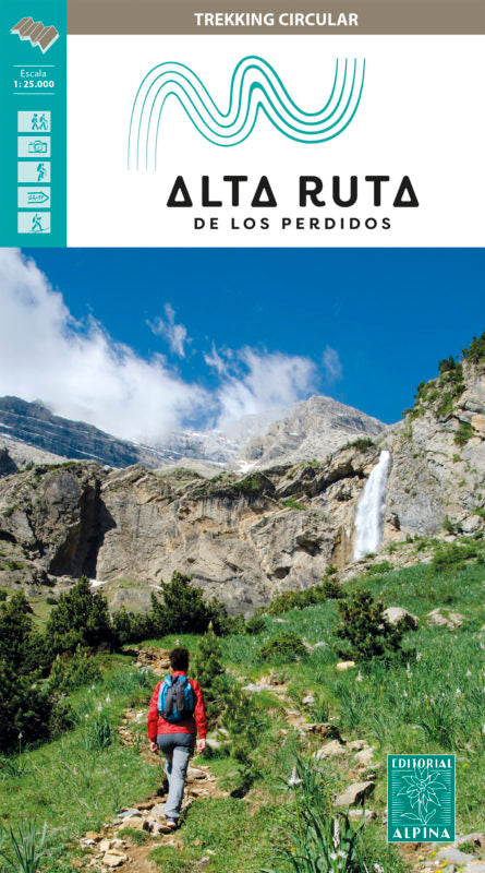
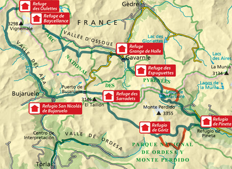
Top 25 map of the Pic of Vignemale, the Ossau Valley, Arrons and Cauterets, edited by IGN. This detailed map extends from goutette (at the neck of North (North to South) and the Pic du Midi Ossau to Cauterets (West East), and includes part of the Pyrenees National Park. Hiking map With space curves spaced 10 meters and detailed legend (vegetation, rocks, streams etc ...). Indication of hiking trails.
Scale 1 / 25,000 (1 cm = 250 m). GPS compatible map.
- This map is printed on a laminated and tear - resistant support, ideal for the practice of outdoor activities.
- Duplex map: a reduced footprint that facilitates handling.
ISBN/EAN : 9782758551850
Publication date: 2022
Scale: 1/25,000 (1cm=250m)
Printed sides: both sides
Folded dimensions: 23.6 x 11.2 x 0.5cm
Unfolded dimensions: 50 x 132cm
Language(s): French, English, German
Weight:
85 g


