Road Map - Skåne (Sweden) & Seeland Est (Denmark) | Norstedts

Carte routière - Scanie (Suède) & Seeland est (Danemark) | Norstedts carte pliée Norstedts

Road Map - Skåne (Sweden) & Seeland Est (Denmark) | Norstedts

Regular price $17.00
/
  • Shipping within 24 working hours from our warehouse in France
  • Delivery costs calculated instantly in the cart
  • Free returns (*)
  • Real-time inventory
  • Low stock - 1 item left
  • Inventory on the way
Tax included.

Often purchased together:

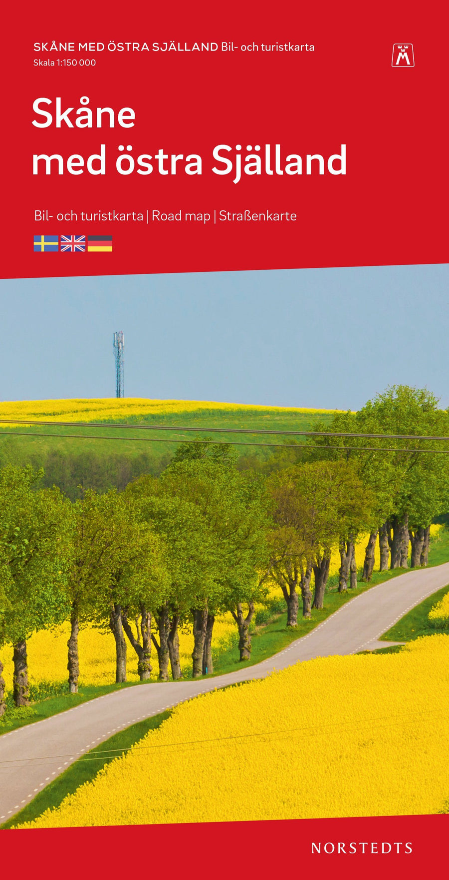
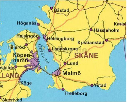
Road Map and tourism that covers the Swedish Skåne region and the East of the Island of Seeland (Denmark).

Includes roads, road distances, bike paths, campsites, attractions, hostels and much more.

Legend in English, Swedish and German.


ISBN/EAN : 9789113106038
Publication date: 2020
Scale: 1/150,000 (1cm=1.5km)
Folded dimensions: 14x25cm
Language(s): English, German, Swedish
Poids : 59 g

Customer Reviews

No reviews yet
0%
(0)
0%
(0)
0%
(0)
0%
(0)
0%
(0)
More from Seeland
Carte routière - Scanie (Suède) & Seeland est (Danemark) | Norstedts carte pliée Norstedts
Road Map - Skåne (Sweden) & Seeland Est (Denmark) | Norstedts
Norstedts
$17.00
Carte routière #3 - Danemark Sud (Kolding, Copenhague, Bornholm)| Kümmerly   Frey - La Compagnie des Cartes
Road Map # 3 - Denmark South (Kolding, Copenhagen, Bornholm) | Kümmerly Frey
Kümmerly & Frey
$14.00
Recently viewed